Wooler, localité britannique
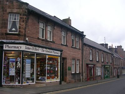
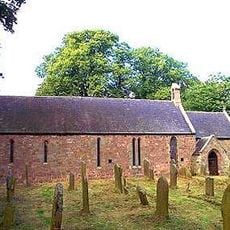
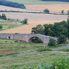
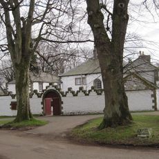
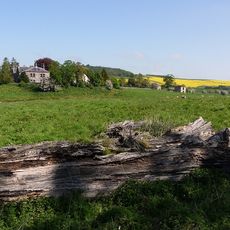
Wooler est une petite ville en lisière des collines Cheviot en Northumberland. Construite le long de la rivière Wooler Water, elle présente des bâtiments en pierre avec une architecture historique du 17e au 19e siècle.
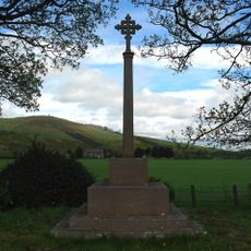
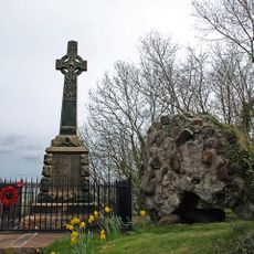
Après la conquête normande, Wooler devint partie d'un grand domaine de la famille Muschamp. Au Moyen Age, la ville était connue pour exporter de la laine vers la Flandre et a souffert de raids frontaliers, y compris un incident notable en 1595.
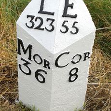
Le nom Wooler provient de mots anciens signifiant puits ou source, reflétant les ruisseaux qui traversent la région. La rue principale façonne la vie quotidienne, où les habitants et les visiteurs se rassemblent dans des magasins, des pubs et des bâtiments traditionnels qui s'étendent sur plusieurs siècles.
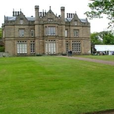
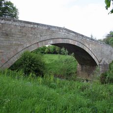
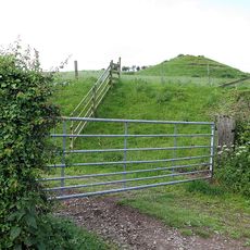
La ville est facilement accessible en voiture via l'A697 ou en bus local et sert de bonne base pour explorer les collines Cheviot et les attractions à proximité. Les visiteurs trouveront des hôtels, des gîtes, des cottages et des terrains de camping, ainsi qu'un centre d'information touristique offrant des cartes et des conseils sur les promenades et les événements locaux.
The Tankerville Arms, une auberge historique construite au 18e siècle par le comte de Tankerville, a accueilli la célèbre écrivaine Virginia Woolf lors de sa visite en 1914. Cela relie le site à l'histoire littéraire.
La communauté des voyageurs curieux
AroundUs rassemble des milliers de lieux sélectionnés, conseils locaux et pépites cachées, enrichis chaque jour par plus de 60,000 contributeurs à travers le monde.