
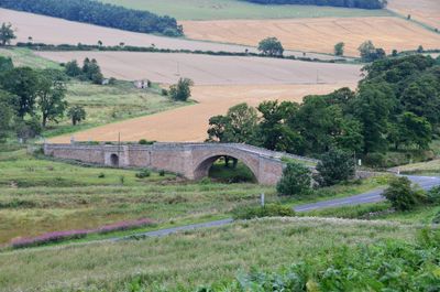
Weetwood Bridge, Grade I listed bridge in Northumberland, England, UK, carries a minor road across River Till
Emplacement : Chatton
Coordonnées GPS : 55.55890,-1.97231
Dernière mise à jour : 28 novembre 2025 à 15:30
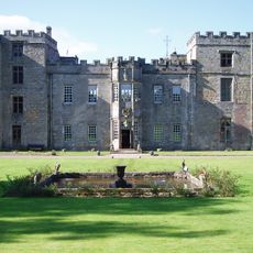
Château de Chillingham
5.7 km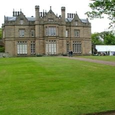
Lilburn Tower
5.2 km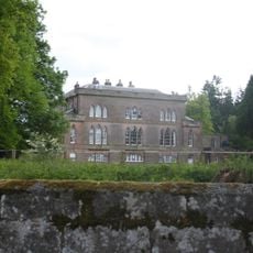
Fowberry Tower
2.1 km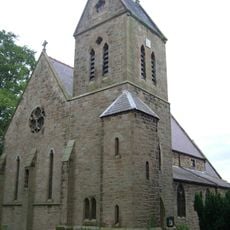
St Ninian's Church, Wooler
3.2 km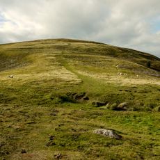
Prehistoric enclosed settlement, Iron Age hillfort and medieval shielings on Humbleton Hill
5.3 km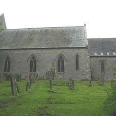
Holy Cross Church
4.1 km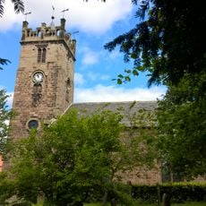
Church of St Mary
3 km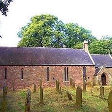
Church of St Mary and St Michael, Doddington
3.6 km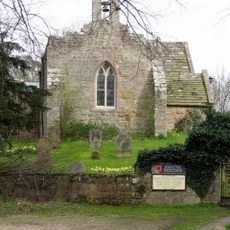
Church of St Peter
5.6 km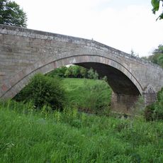
Fowberry Bridge
2.1 km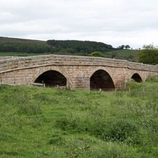
Chatton Bridge
4.4 km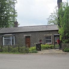
The Post Office
5.1 km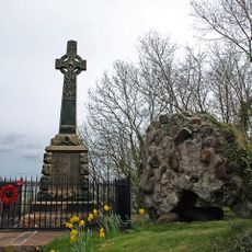
Wooler War Memorial
2.9 km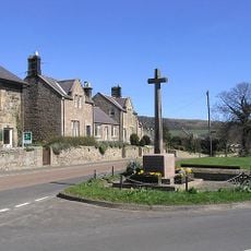
Chatton War Memorial
3.9 km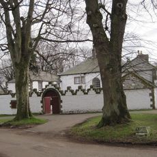
Middleton Hall
5 km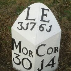
Milepost Circa 1/4 Mile North Of Haugh Head
3.3 km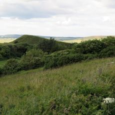
Green Castle
4 km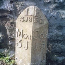
Milepost By Millvale
2.8 km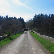
Newton Bridge
5.3 km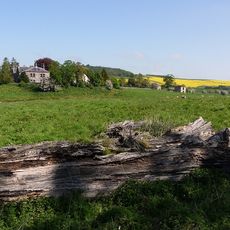
Weetwood Hall
320 m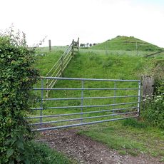
Medieval chapel, 220m south east of White Gables
4.2 km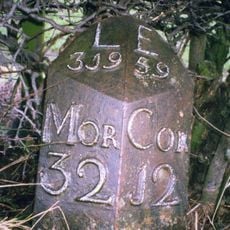
Milepost Circa Half A Mile East Of Humbleton Buildings
3.7 km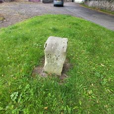
Boundary Stone Circa 20 Yards South Of North Yearle Farm Buildings
4.5 km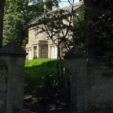
Doddington South Farm
3.6 km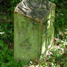
Milepost 1 1/2 Miles North Of Doddington Village
5.2 km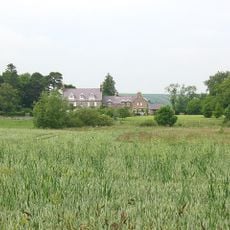
Hetton House
2.3 km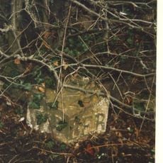
Milepost, roadside at NT999327
3.8 km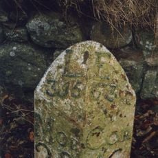
Milepost, Lilburn Tower, in cutting
5.5 kmVous avez visité ce lieu ? Touchez les étoiles pour le noter et partager votre expérience ou vos photos avec la communauté ! Essayez maintenant ! Vous pouvez annuler à tout moment.
Trouvez des trésors cachés à chaque coin de rue !
Des petits cafés pittoresques aux points de vue planqués, fuyez la foule et dénichez les lieux qui vous ressemblent vraiment. Notre app vous facilite la vie : recherche vocale, filtres malins, itinéraires optimisés et bons plans partagés par des voyageurs du monde entier. Téléchargez vite pour vivre l'aventure en version mobile !

Une approche inédite de la découverte touristique❞
— Le Figaro
Tous les lieux qui valent la peine d'être explorés❞
— France Info
Une excursion sur mesure en quelques clics❞
— 20 Minutes