
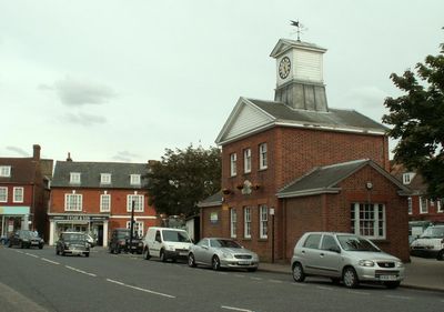
Potton, localité britannique
Emplacement : Central Bedfordshire
Partage une frontière avec : Gamlingay
Site web : https://pottontowncouncil.co.uk
Coordonnées GPS : 52.12710,-0.21520
Dernière mise à jour : 3 mars 2025 à 03:29
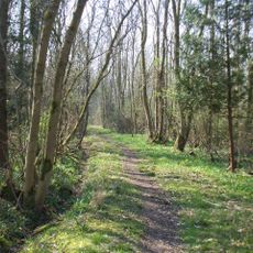
Potton Wood
3.1 km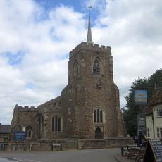
Church of St Mary the Virgin
3.6 km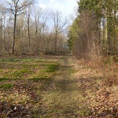
Gamlingay Wood
4.7 km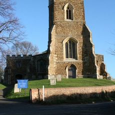
Church of St Mary, Potton
546 m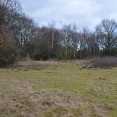
Gamlingay Cinques Common
3.8 km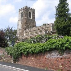
Church of All Saints, Sutton, Bedfordshire
1.7 km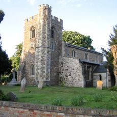
Church of St Peter, Wrestlingworth
4.1 km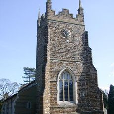
Church of St Mary, Everton, Bedfordshire
2.9 km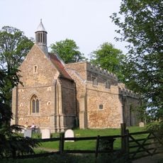
Church of All Saints
4.5 km
41, Church End
3 km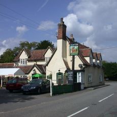
The Chequers Inn
3.9 km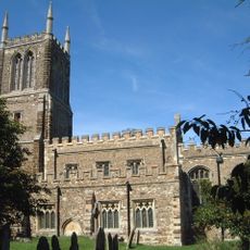
Church of St John the Baptist, Cockayne Hatley
3.4 km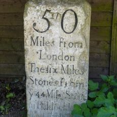
Milestone, Outside Park Farmhouse
3 km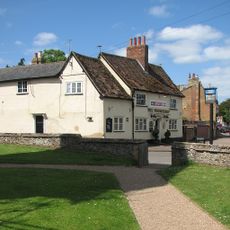
The Wheatsheaf Public House
3.6 km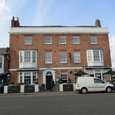
Rose And Crown Public House
127 m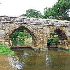
Sutton Packhorse Bridge
1.7 km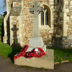
Wrestlingworth War Memorial
4 km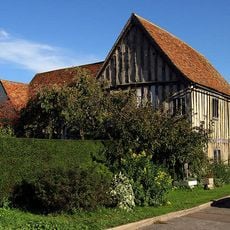
The Emplins
3.7 km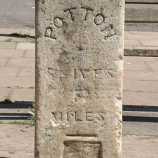
Milestone, Approximately 10 Metres East Of Centre Of Square
105 m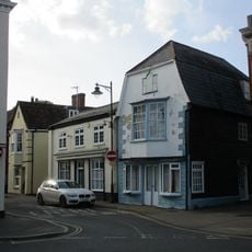
6, Market Square
109 m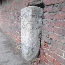
Milestone In Garden Wall To Number 34
3.3 km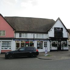
26 And 26A, Market Square
62 m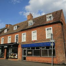
19 And 20, Market Square
114 m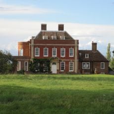
Tetworth Hall
3.9 km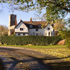
The Old Rectory
1.7 km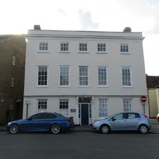
Lion Court
81 m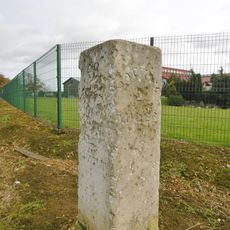
Milestone, Biggleswade Road, in front of school car park entrance
3 km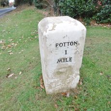
Milestone, Biggleswade Road, at entrance to golf club
1.3 kmAvis
Vous avez visité ce lieu ? Touchez les étoiles pour le noter et partager votre expérience ou vos photos avec la communauté ! Essayez maintenant ! Vous pouvez annuler à tout moment.
Trouvez des trésors cachés à chaque coin de rue !
Des petits cafés pittoresques aux points de vue planqués, fuyez la foule et dénichez les lieux qui vous ressemblent vraiment. Notre app vous facilite la vie : recherche vocale, filtres malins, itinéraires optimisés et bons plans partagés par des voyageurs du monde entier. Téléchargez vite pour vivre l'aventure en version mobile !

Une approche inédite de la découverte touristique❞
— Le Figaro
Tous les lieux qui valent la peine d'être explorés❞
— France Info
Une excursion sur mesure en quelques clics❞
— 20 Minutes