
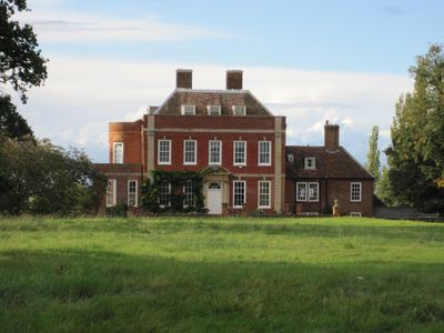
Tetworth Hall, listed building in Cambridgeshire, UK
Emplacement : Waresley-cum-Tetworth
Coordonnées GPS : 52.16230,-0.22129
Dernière mise à jour : 3 mars 2025 à 03:18
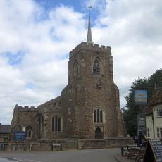
Church of St Mary the Virgin
2.5 km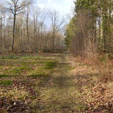
Gamlingay Wood
2.4 km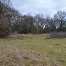
Gamlingay Cinques Common
851 m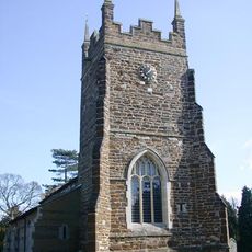
Church of St Mary, Everton, Bedfordshire
2.3 km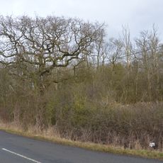
Weaveley and Sand Woods
1.3 km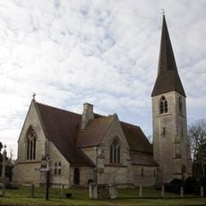
Church of St James the Great
3.5 km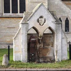
Village pump and drinking fountain
3.5 km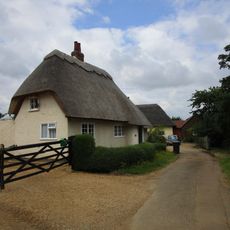
41, Church End
2.3 km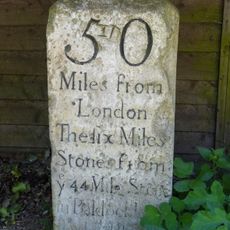
Milestone, Outside Park Farmhouse
1 km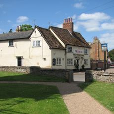
The Wheatsheaf Public House
2.4 km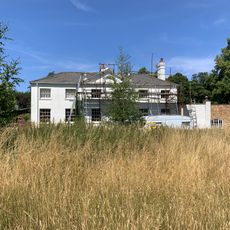
Waresley Hall
3.3 km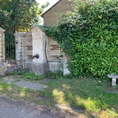
Village Pump About 10 Yards From Entry To Waresley Hall
3.5 km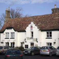
Duncombe Arms Public House
3.6 km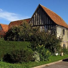
The Emplins
2.5 km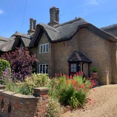
1 and 3, Gamlingay Road
3.6 km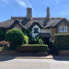
9, 11 And 13, Gamlingay Road
3.5 km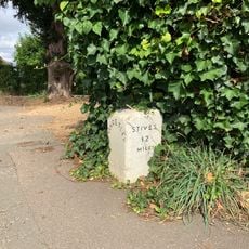
Milestone About 10 Yards West Of Duncombe Arms
3.5 km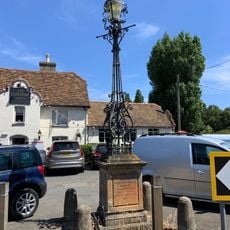
Lamp Standard 20 Yards South Of Duncombe Arms Public House
3.6 km
5 And 7, Gamlingay Road
3.5 km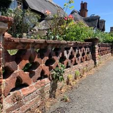
Garden Wall To Numbers 1,3,5,7,11,13,15,17 And 19
3.6 km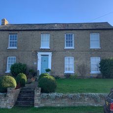
Grange Farmhouse
3.6 km
9, Blacksmiths Lane
3.6 km
Church Farmhouse
3.6 km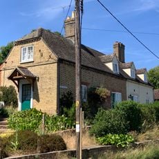
1 and 2, the Bank
3.5 km
6 And 8, Hardwick Lane
3.6 km
5 And 6, The Square
3.5 km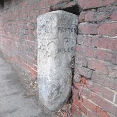
Milestone In Garden Wall To Number 34
2.2 km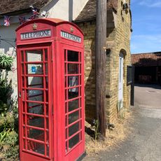
K6 Telephone Box
3.6 kmAvis
Vous avez visité ce lieu ? Touchez les étoiles pour le noter et partager votre expérience ou vos photos avec la communauté ! Essayez maintenant ! Vous pouvez annuler à tout moment.
Trouvez des trésors cachés à chaque coin de rue !
Des petits cafés pittoresques aux points de vue planqués, fuyez la foule et dénichez les lieux qui vous ressemblent vraiment. Notre app vous facilite la vie : recherche vocale, filtres malins, itinéraires optimisés et bons plans partagés par des voyageurs du monde entier. Téléchargez vite pour vivre l'aventure en version mobile !

Une approche inédite de la découverte touristique❞
— Le Figaro
Tous les lieux qui valent la peine d'être explorés❞
— France Info
Une excursion sur mesure en quelques clics❞
— 20 Minutes