
Aller, village britannique
Emplacement : South Somerset
Coordonnées GPS : 51.05000,-2.85000
Dernière mise à jour : 4 avril 2025 à 12:31
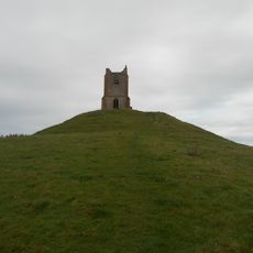
Burrow Mump
5.2 km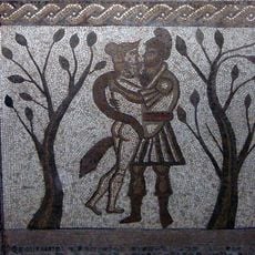
Low Ham Roman Villa
3 km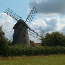
Stembridge Mill, High Ham
3.6 km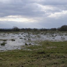
King's Sedgemoor
4.8 km
Greylake
5.8 km
Aller and Beer Woods
2.3 km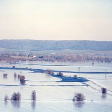
Southlake Moor
3.9 km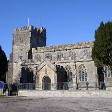
St Andrew's Church
3.5 km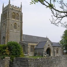
Church of the Holy Cross, Middlezoy
5.8 km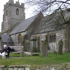
Church of Saint Andrew
1.1 km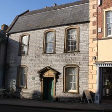
Tudor House
2 km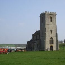
Church without dedication, High Ham
2.9 km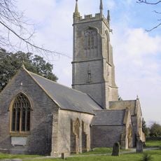
Church of St Michael, Othery
4.1 km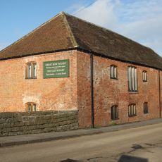
Former Stuckey and Bagehot Warehouse
1.9 km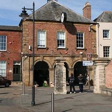
The Town Hall
2 km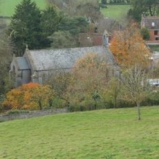
Church of St Michael
5.2 km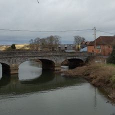
Great Bow Bridge (That Portion In Langport Civil Parish)
1.9 km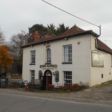
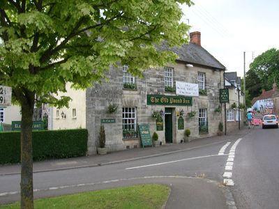
King Alfred Public House
5.2 km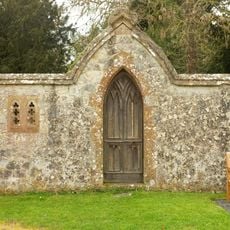
Portion Of East Boundary Wall To Ham Court, 15 Metres South Of Church Of Saint Andrew
3.5 km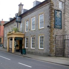
The Langport Arms Hotel
2 km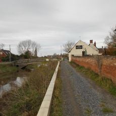
Burrow Bridge At Ngr St 3075 3043
5.3 km
Laburnum House
3.5 km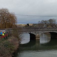
Great Bow Bridge (That Portion In Curry Rivel Cp)
1.9 km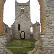
Remains of Church on Burrow Mump
5.2 km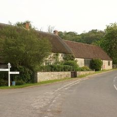
Windsor Farmhouse And Attached Outbuildings
4.5 km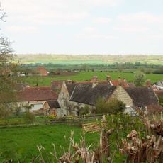
Wick Manor House
1.5 km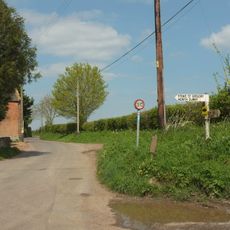
Stathe Farmhouse
3.2 km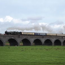
Langport Viaduct
1.6 kmAvis
Vous avez visité ce lieu ? Touchez les étoiles pour le noter et partager votre expérience ou vos photos avec la communauté ! Essayez maintenant ! Vous pouvez annuler à tout moment.
Trouvez des trésors cachés à chaque coin de rue !
Des petits cafés pittoresques aux points de vue planqués, fuyez la foule et dénichez les lieux qui vous ressemblent vraiment. Notre app vous facilite la vie : recherche vocale, filtres malins, itinéraires optimisés et bons plans partagés par des voyageurs du monde entier. Téléchargez vite pour vivre l'aventure en version mobile !

Une approche inédite de la découverte touristique❞
— Le Figaro
Tous les lieux qui valent la peine d'être explorés❞
— France Info
Une excursion sur mesure en quelques clics❞
— 20 Minutes