
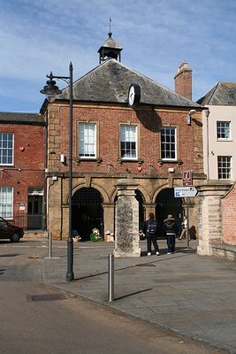
The Town Hall, building in Langport, South Somerset, Somerset, UK
Emplacement : Langport
Coordonnées GPS : 51.03751,-2.82942
Dernière mise à jour : 3 mars 2025 à 14:54
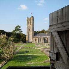
Abbaye de Muchelney
2.4 km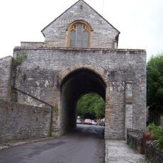
The Hanging Chapel
333 m
The Priest's House, Muchelney
2.1 km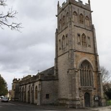
Church of All Saints, Langport
273 m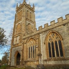
Church of the Blessed Virgin Mary, Huish Episcopi
818 m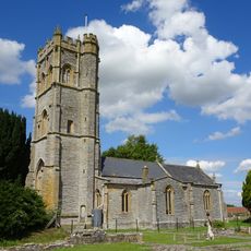
Church of St Peter and St Paul, Muchelney
2.1 km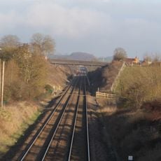
Langport Railway Cutting
862 m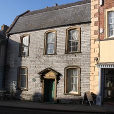
Tudor House
87 m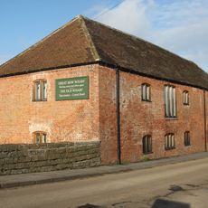
Former Stuckey and Bagehot Warehouse
360 m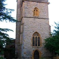
Church of St Catherine, Drayton
2.5 km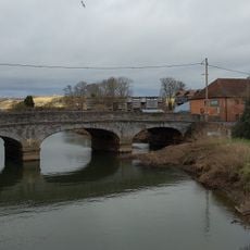
Great Bow Bridge (That Portion In Langport Civil Parish)
401 m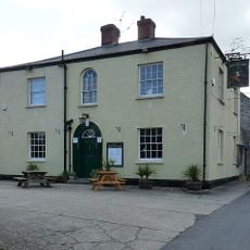
The Crown Inn
2.5 km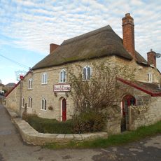
The Rose And Crown Inn
1.1 km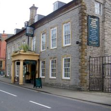
The Langport Arms Hotel
62 m
Langport Library
70 m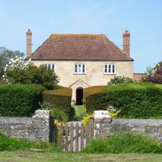
The White House
2.1 km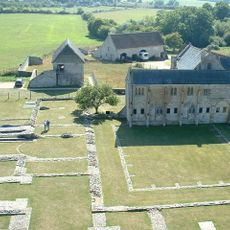
The Abbot's House, Muchelney Abbey
2.1 km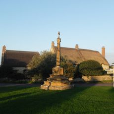
Almonry Cottage
2.1 km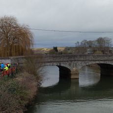
Great Bow Bridge (That Portion In Curry Rivel Cp)
418 m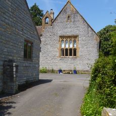
The Old School House
2.6 km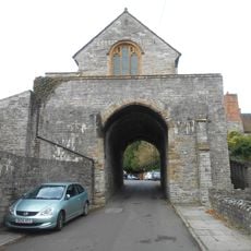
The Hanging Chapel and a medieval gateway at The Hill
393 m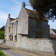
Court House
2.5 km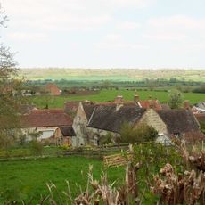
Wick Manor House
1.9 km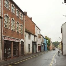
The Old Market House Tea Shop
52 m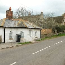
The Old Toll House
2 km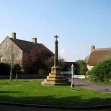
The Village Cross, 35 Metres North Of Church Of Saint Peter And Saint Paul
2.1 km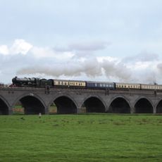
Langport Viaduct
453 m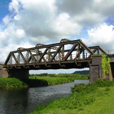
Langport railway bridge
605 mVous avez visité ce lieu ? Touchez les étoiles pour le noter et partager votre expérience ou vos photos avec la communauté ! Essayez maintenant ! Vous pouvez annuler à tout moment.
Trouvez des trésors cachés à chaque coin de rue !
Des petits cafés pittoresques aux points de vue planqués, fuyez la foule et dénichez les lieux qui vous ressemblent vraiment. Notre app vous facilite la vie : recherche vocale, filtres malins, itinéraires optimisés et bons plans partagés par des voyageurs du monde entier. Téléchargez vite pour vivre l'aventure en version mobile !

Une approche inédite de la découverte touristique❞
— Le Figaro
Tous les lieux qui valent la peine d'être explorés❞
— France Info
Une excursion sur mesure en quelques clics❞
— 20 Minutes