
Aston Rowant, village and civil parish in South Oxfordshire district, Oxfordshire, England
Emplacement : South Oxfordshire
Coordonnées GPS : 51.68530,-0.94899
Dernière mise à jour : 9 mars 2025 à 20:49
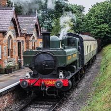
Chinnor and Princes Risborough Railway
3.3 km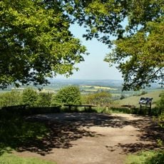
Aston Rowant NNR
2.3 km
Abbaye de Thame
4.8 km
Adwell House
3.1 km
Stokenchurch Gap
2.7 km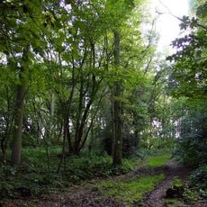
Aston Rowant Woods
2.3 km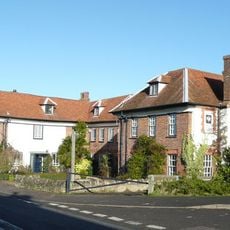
The Swan
4.9 km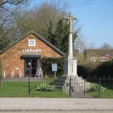
Stokenchurch War Memorial
4.4 km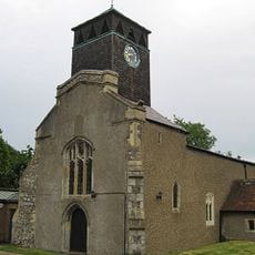
Church of St Peter and St Paul
4.2 km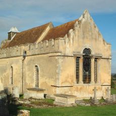
Church of St Andrew
3.9 km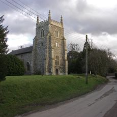
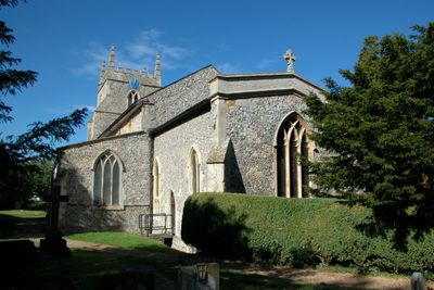
Church of St Peter and St Paul, Aston Rowant
66 m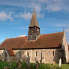
Church of St Mary
2.8 km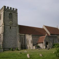
Church of St Margaret, Lewknor
1.8 km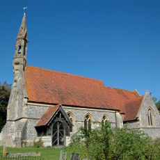
Church of St Mary
3.2 km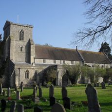
Church of St Andrew
3.5 km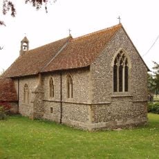
Church of the Nativity of the Blessed Virgin Mary
1.8 km
Church of St Nicholas
3.7 km
Thame Park House
4.8 km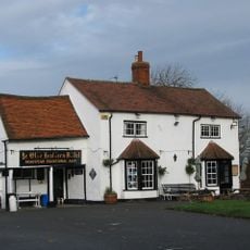
Ye Olde Leathern Bottle Public House
2 km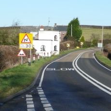
Attington Toll House
3.5 km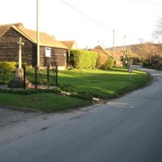
Henton War Memorial
4.9 km
The Old Post Office
2.9 km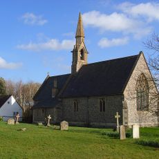
St Lawrence
2.8 km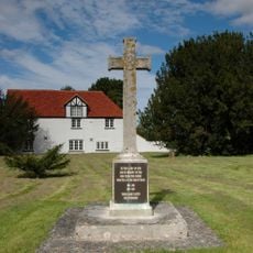
Aston Rowant War Memorial
88 m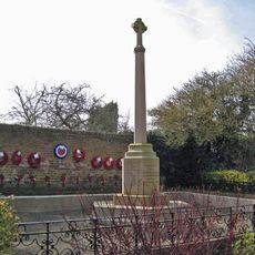
Chinnor War Memorial
3.6 km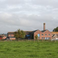
Model Farm, Engine House And Attached Buildings Approximately 15 Metres South South West Of Farmhouse
3.7 km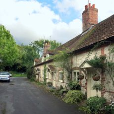
1-7, Blenheim Road
4.2 km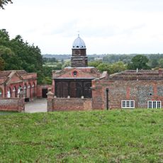
Wheatfield Park Coach House, Stables And Farmhouse
4 kmAvis
Vous avez visité ce lieu ? Touchez les étoiles pour le noter et partager votre expérience ou vos photos avec la communauté ! Essayez maintenant ! Vous pouvez annuler à tout moment.
Trouvez des trésors cachés à chaque coin de rue !
Des petits cafés pittoresques aux points de vue planqués, fuyez la foule et dénichez les lieux qui vous ressemblent vraiment. Notre app vous facilite la vie : recherche vocale, filtres malins, itinéraires optimisés et bons plans partagés par des voyageurs du monde entier. Téléchargez vite pour vivre l'aventure en version mobile !

Une approche inédite de la découverte touristique❞
— Le Figaro
Tous les lieux qui valent la peine d'être explorés❞
— France Info
Une excursion sur mesure en quelques clics❞
— 20 Minutes