
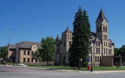
Canton, ville américaine de l'État du Dakota du sud
Emplacement : Lincoln County
Altitude : 387 m
Site web : http://www.cantonsd.org/
Site web : http://cantonsd.org
Coordonnées GPS : 43.30222,-96.59083
Dernière mise à jour : 16 mai 2025 à 23:14
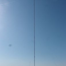
KDLT tower
22.7 km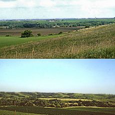
Blood Run Site
18.3 km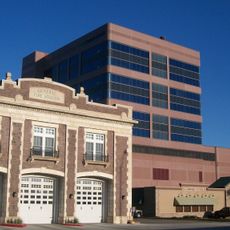
CenturyLink Tower
29.5 km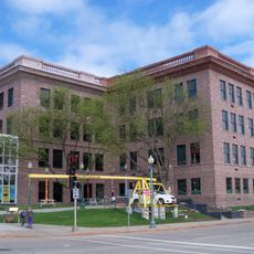
Washington Pavilion of Arts and Science
29.2 km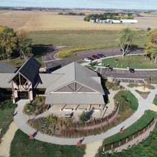
Good Earth State Park
19.3 km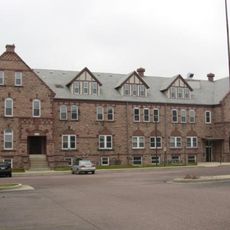
South Dakota School for the Deaf
28.7 km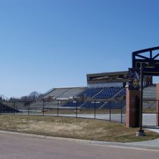
Kirkeby–Over Stadium
27.1 km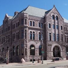
Federal Building and United States Courthouse
29 km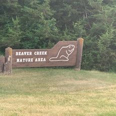
Beaver Creek Nature Area
28.8 km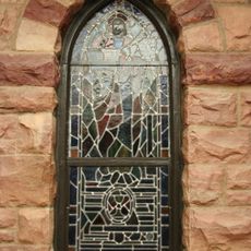
Calvary Cathedral
28.9 km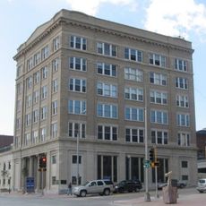
Security Bank Building
29.5 km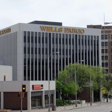
U.S. Bank Building
29.6 km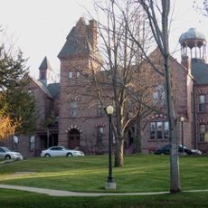
All Saints School Main Building
28.4 km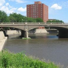
Eighth Street Bridge
29.5 km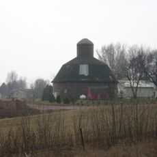
Shafer Round Barn
27.1 km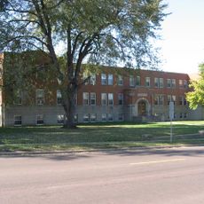
Presentation Children's Home
29.4 km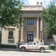
Grand Lodge and Library of the Ancient Free and Accepted Masons
29 km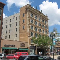
Carpenter Building
29.2 km
Canton Lutheran Church
197 m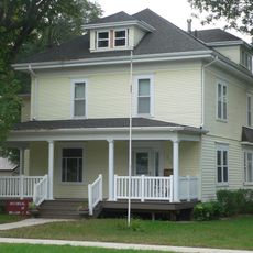
Governor William J. Bulow House
28.8 km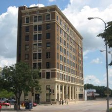
Sioux Falls National Bank Building
29.4 km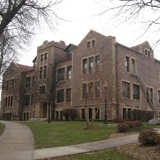
Jorden Hall
28.3 km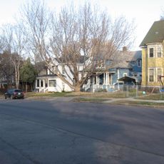
District historique d'All Saints
28.2 km
Gitchie Manitou State Preserve
21.5 km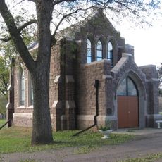
Josephine Martin Glidden Memorial Chapel
28.3 km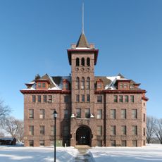
Old Main
1 km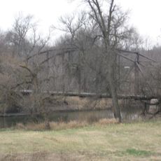
Bridge at Iverson Crossing
25.3 km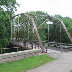
Cherry Rock Park Bridge
27.8 kmAvis
Vous avez visité ce lieu ? Touchez les étoiles pour le noter et partager votre expérience ou vos photos avec la communauté ! Essayez maintenant ! Vous pouvez annuler à tout moment.
Trouvez des trésors cachés à chaque coin de rue !
Des petits cafés pittoresques aux points de vue planqués, fuyez la foule et dénichez les lieux qui vous ressemblent vraiment. Notre app vous facilite la vie : recherche vocale, filtres malins, itinéraires optimisés et bons plans partagés par des voyageurs du monde entier. Téléchargez vite pour vivre l'aventure en version mobile !

Une approche inédite de la découverte touristique❞
— Le Figaro
Tous les lieux qui valent la peine d'être explorés❞
— France Info
Une excursion sur mesure en quelques clics❞
— 20 Minutes