
Blyth Valley, former local government district in north east England
Emplacement : Northumberland
Création : 1 avril 1974
Coordonnées GPS : 55.12700,-1.52300
Dernière mise à jour : 3 mars 2025 à 03:25
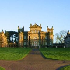
Seaton Delaval Hall
5.3 km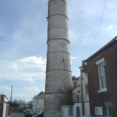
Phare de Blyth High
1.5 km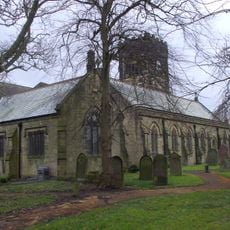
Church of St Cuthbert
4.5 km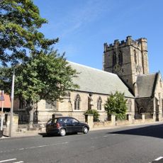
Church of St Cuthbert
1.3 km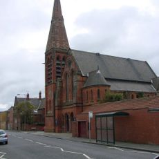
Blyth United Reformed Church
565 m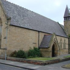
Church of St Mary
723 m
Church of Our Lady and St Wilfred
507 m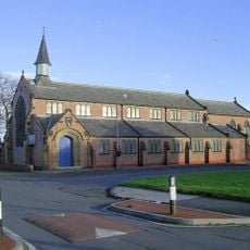
Parish Church of St. John
3.1 km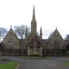
Pair Of Chapels In Cowpen Cemetery
535 m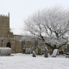
Church of St Mary
3.5 km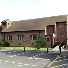
St Bede Church
2.1 km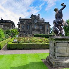
Statue of Samson Slaying Philistine in Garden to West of Seaton Delaval Hall
5.3 km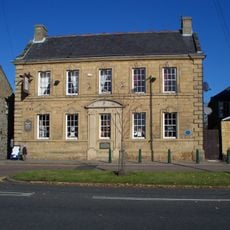
The Grapes
4.7 km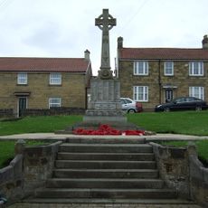
Bedlington War Memorial
4.6 km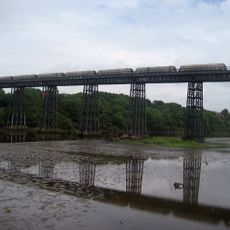
North Seaton Viaduct
5.1 km
Cambois War Memorial
2.2 km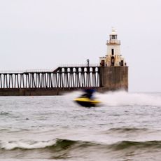
Blyth East Pier light
2.6 km
Blyth WWII Memorial Garden, Northumderland
1.5 km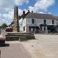
The Cross
4.6 km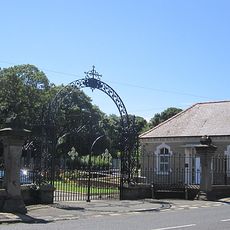
Gates And Screen Wall At Entrance To Cowpen Cemetery
617 m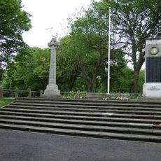
Blyth First World War Memorial
1.5 km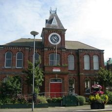
Blyth Library
1 km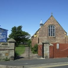
Church of St Andrew
2.2 km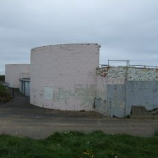
Fort On Blyth Links
2.7 km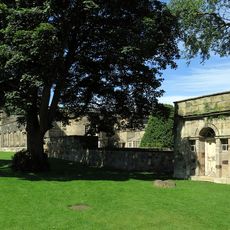
Privy 80 Metres North East Of Seaton Delaval Hall
5.2 km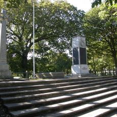
Blyth Boer War Memorial, Northumberland
1.5 km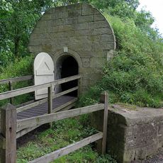
Icehouse 100 Metres North East Of Seaton Delaval Hall
5.2 km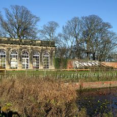
Orangery In Walled Garden 300 Metres North East Of Seaton Delaval Hall
5.1 kmAvis
Vous avez visité ce lieu ? Touchez les étoiles pour le noter et partager votre expérience ou vos photos avec la communauté ! Essayez maintenant ! Vous pouvez annuler à tout moment.
Trouvez des trésors cachés à chaque coin de rue !
Des petits cafés pittoresques aux points de vue planqués, fuyez la foule et dénichez les lieux qui vous ressemblent vraiment. Notre app vous facilite la vie : recherche vocale, filtres malins, itinéraires optimisés et bons plans partagés par des voyageurs du monde entier. Téléchargez vite pour vivre l'aventure en version mobile !

Une approche inédite de la découverte touristique❞
— Le Figaro
Tous les lieux qui valent la peine d'être explorés❞
— France Info
Une excursion sur mesure en quelques clics❞
— 20 Minutes