
Marston Montgomery, village britannique
Emplacement : Derbyshire Dales
Partage une frontière avec : Norbury and Roston, Doveridge, Somersal Herbert, Sudbury, Cubley
Coordonnées GPS : 52.93740,-1.80060
Dernière mise à jour : 5 mai 2025 à 16:57
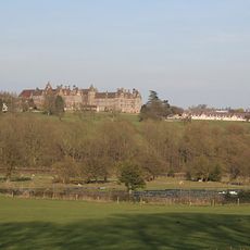
Denstone College
5.2 km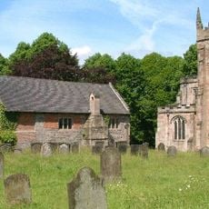
Norbury Manor
4.6 km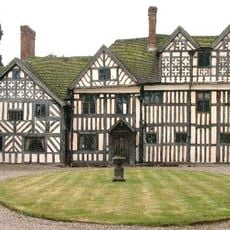
Somersal Herbert Hall
2.6 km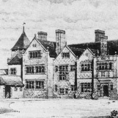
Brocksford Hall
4.3 km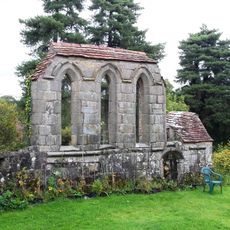
Yeaveley Preceptory
4.3 km
St Mary and St Barlock's Church, Norbury
4.7 km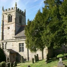
Church of St Andrew
3 km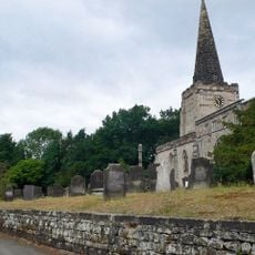
St Cuthbert's Church, Doveridge
4.3 km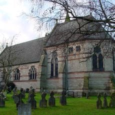
Church of All Saints
4.6 km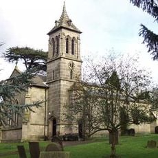
St John the Baptist's Church, Boylestone
5.1 km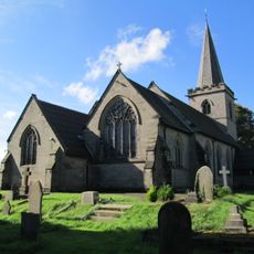
Church of St Michael
2.8 km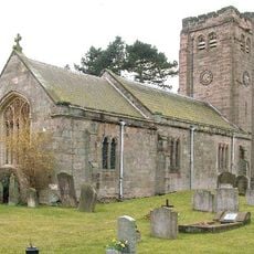
Church of St Peter
2.6 km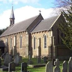
Church of St John
5.3 km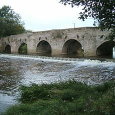
Dove Bridge
4.4 km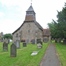
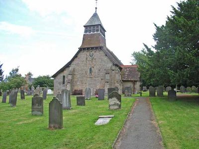
Church of St Giles
89 m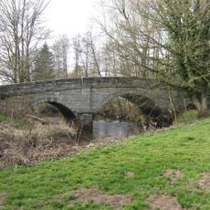
Quixhill Bridge
4.8 km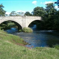
Ellastone Bridge
4.8 km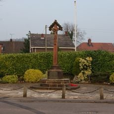
War Memorial South West of Denstone College
5.2 km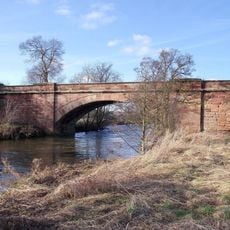
Rocester Bridge
2.4 km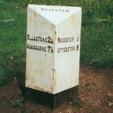
Milepost At Ngr Sk 1074 3992
3.5 km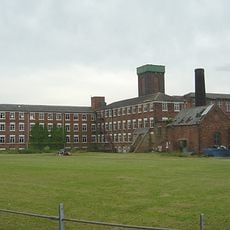
Tutbury Mill
2.6 km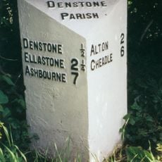
Milepost Opposite Stone Bank
5 km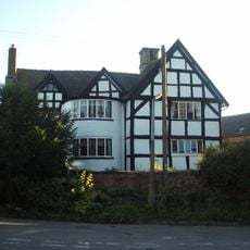
The Manor House
113 m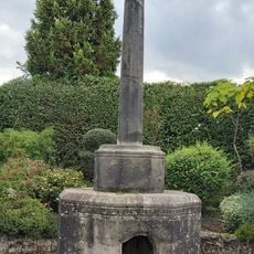
Village Cross And Drinking Fountain
4.5 km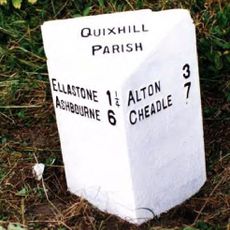
Milepost Approximately 50 Yards South West Of Prestwood Lane
4.8 km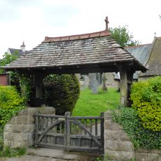
Lychgate, Bus Stop And Connecting Retaining Wall To Churchyard
112 m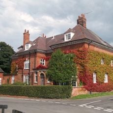
Manor House
4.1 km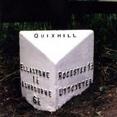
Milepost At Ngr Sk 1099 4123
4.3 kmVous avez visité ce lieu ? Touchez les étoiles pour le noter et partager votre expérience ou vos photos avec la communauté ! Essayez maintenant ! Vous pouvez annuler à tout moment.
Trouvez des trésors cachés à chaque coin de rue !
Des petits cafés pittoresques aux points de vue planqués, fuyez la foule et dénichez les lieux qui vous ressemblent vraiment. Notre app vous facilite la vie : recherche vocale, filtres malins, itinéraires optimisés et bons plans partagés par des voyageurs du monde entier. Téléchargez vite pour vivre l'aventure en version mobile !

Une approche inédite de la découverte touristique❞
— Le Figaro
Tous les lieux qui valent la peine d'être explorés❞
— France Info
Une excursion sur mesure en quelques clics❞
— 20 Minutes