
Falfield, village britannique
Emplacement : South Gloucestershire
Coordonnées GPS : 51.63700,-2.45900
Dernière mise à jour : 9 avril 2025 à 19:53
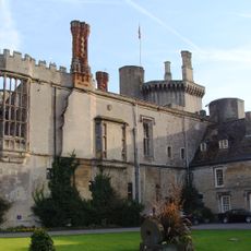
Château de Thornbury
5.5 km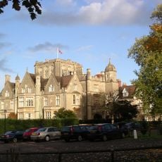
Tortworth Court
1.2 km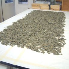
Thornbury Hoard
5.5 km
Slickstones Quarry
2.6 km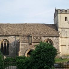
St James' Church, Charfield
4.2 km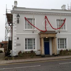
Magistrates Court
5.7 km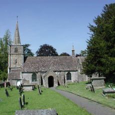
Church of St Michael
3.9 km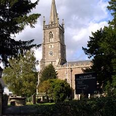
Church of All Saints
2.2 km
Church of St George
53 m
Parish Church of St John
3.8 km
Parish Church of St Andrew
2.9 km
Parish Church of St Leonard
2.1 km
Church of St Mary Parish Church of St Mary the Virgin
5.6 km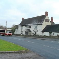
Swan Inn
5.2 km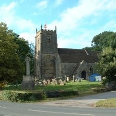
Church of St James
5.1 km
Church of St Oswald
2.8 km
Canopied Seat And Flanking Walls,Memorial To The Countess Of Ducie,25 Yards East Of Chancel Of St Leonard's Church
2.1 km
Charfield War Memorial
3.8 km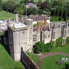
Walls Enclosing Privy Garden Immediately To South Of The Inner Court Of Thornbury Castle
5.5 km
Tytherington War Memorial
5.1 km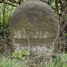
Milestone At National Grid Reference St 6928 8850
4.8 km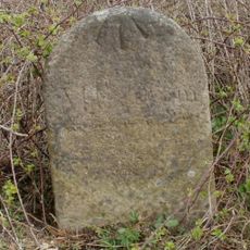
Milestone At National Grid Reference St6977 8999
3.5 km
Medieval fishponds 125m south of Park Farm, Thornbury
4.9 km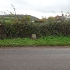
Milestone, Hill village
4.2 km
Milestone, Gloucester Road, Morton
2.3 km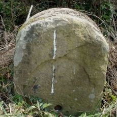
Milestone, Woodford
3.1 km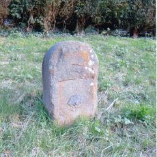
Milestone, Milbury Heath; 130m N Cutts Heath Road
3.7 km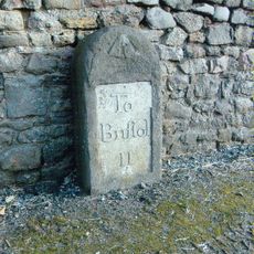
Milestone, Grovesend
5.3 kmAvis
Vous avez visité ce lieu ? Touchez les étoiles pour le noter et partager votre expérience ou vos photos avec la communauté ! Essayez maintenant ! Vous pouvez annuler à tout moment.
Trouvez des trésors cachés à chaque coin de rue !
Des petits cafés pittoresques aux points de vue planqués, fuyez la foule et dénichez les lieux qui vous ressemblent vraiment. Notre app vous facilite la vie : recherche vocale, filtres malins, itinéraires optimisés et bons plans partagés par des voyageurs du monde entier. Téléchargez vite pour vivre l'aventure en version mobile !

Une approche inédite de la découverte touristique❞
— Le Figaro
Tous les lieux qui valent la peine d'être explorés❞
— France Info
Une excursion sur mesure en quelques clics❞
— 20 Minutes