
Cababangtalan Beach, Strand auf den Philippinen
Emplacement : Cagayan
Altitude : 7 m
Coordonnées GPS : 18.84444,121.29000
Dernière mise à jour : 15 mars 2025 à 16:56
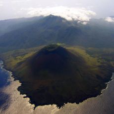
Smith Volcano
101.2 km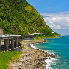
Patapat Viaduct
51.3 km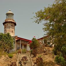
Phare du Cap Bojeador
81.8 km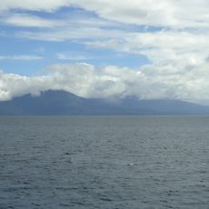
Camiguin de Babuyanes
60.1 km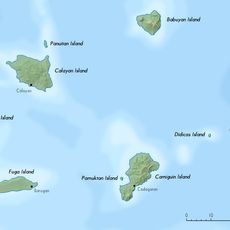
Babuyan Claro
102.9 km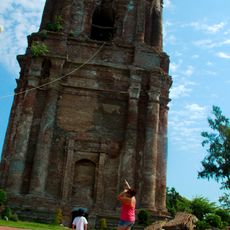
Bacarra Church
97.4 km
Phare du Cap Engaño
94.1 km
Pont suspendu de Magapit
90 km
Lal-lo Church
81.8 km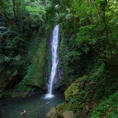
Kabigan Falls
53 km
Magapit Protected Landscape
81.7 km
Kalbario-Patapat Natural Park
52.7 km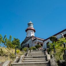
Cape Bojeador Lighthouse
81.8 km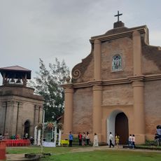
Piddig Church
96.8 km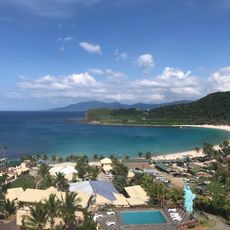
Hannah's Beach Resort
51.7 km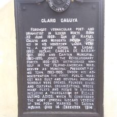
Claro Caluya historical marker
96.8 km
Phare de Linao Point
62.4 km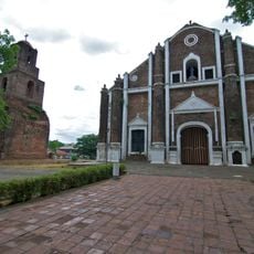
Sarrat Church
102.5 km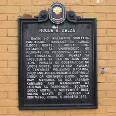
Roque B. Ablan historical marker
102.9 km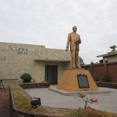
Governor Roque B. Ablan, Sr. Shrine
102.9 km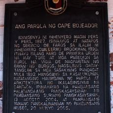
The Lighthouse of Cape Bojeador historical marker
81.9 km
Cape Engaño Lighthouse historical marker
94.1 km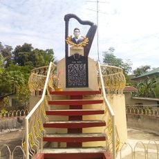
Don Claro Caluya Green Garden
96.8 km
Marcos Museum
102.3 km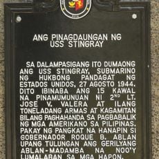
The Landing Site of the USS Stingray historical marker
52.6 km
Lalloc–Tocolana historical marker
81.8 km
Lalloc–Nueva Segovia historical marker
81.8 km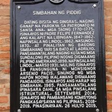
Church of Piddig historical marker
96.8 kmVous avez visité ce lieu ? Touchez les étoiles pour le noter et partager votre expérience ou vos photos avec la communauté ! Essayez maintenant ! Vous pouvez annuler à tout moment.
Trouvez des trésors cachés à chaque coin de rue !
Des petits cafés pittoresques aux points de vue planqués, fuyez la foule et dénichez les lieux qui vous ressemblent vraiment. Notre app vous facilite la vie : recherche vocale, filtres malins, itinéraires optimisés et bons plans partagés par des voyageurs du monde entier. Téléchargez vite pour vivre l'aventure en version mobile !

Une approche inédite de la découverte touristique❞
— Le Figaro
Tous les lieux qui valent la peine d'être explorés❞
— France Info
Une excursion sur mesure en quelques clics❞
— 20 Minutes