High Peak, Berggipfel auf den Philippinen
Emplacement : Zambales
Altitude : 2 037 m
Coordonnées GPS : 15.48250,120.12056
Dernière mise à jour : 2 mars 2025 à 22:59

Pinatubo
44.9 km
New Clark City
46.6 km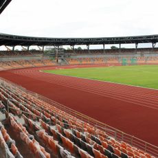
New Clark City Athletics Stadium
46.9 km
Officer Candidate School – Philippines
43.5 km
Monasterio de Tarlac
33.7 km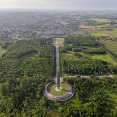
Capas National Shrine
48 km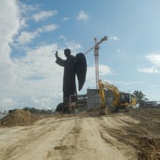
St. Vincent Ferrer Statue
50.9 km
Diocesan Shrine and Parish of San Andres
19.4 km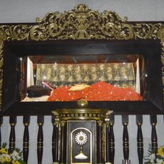
Apung Mamacalulu
45.8 km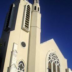
Tarlac Cathedral
50.2 km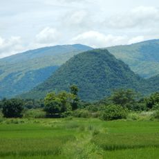
Manleluag Spring Protected Landscape
30.1 km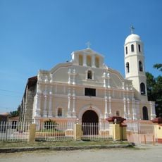
Saint Augustine Cathedral
23.1 km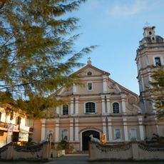
Saint Joseph the Patriarch Parish Church
46.9 km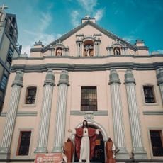
Bayambang Plaza
51.2 km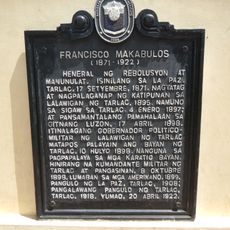
Francisco Makabulos historical marker
50.1 km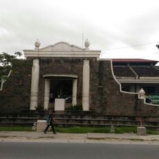
Diwa ng Tarlac
50.1 km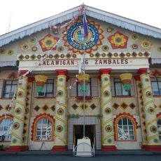
Zambales Provincial Capitol
23 km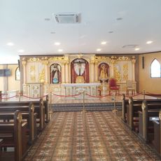
Saint Vincent Ferrer Prayer Park
51.1 km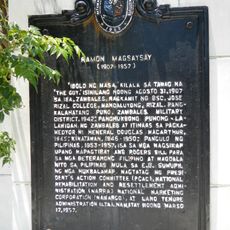
Ramon Magsaysay historical marker
23.1 km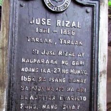
Jose Rizal historical marker
50.4 km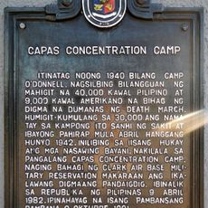
Capas Concentration Camp historical marker
47.9 km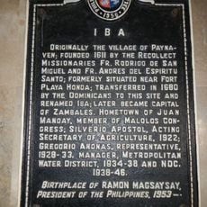
Iba historical marker
23 km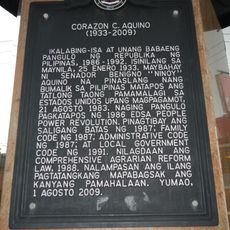
Corazon C. Aquino historical marker
50.2 km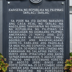
Capital of the Republic of the Philippines historical marker
50 km
Capas National Shrine Obelisk
47.9 km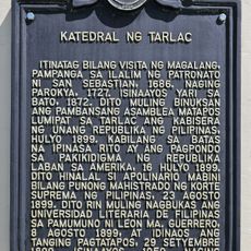
Cathedral of Tarlac historical marker
50.2 km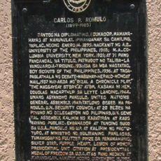
Carlos P. Romulo historical marker
38.9 km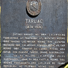
Tarlac historical marker
50 kmAvis
Vous avez visité ce lieu ? Touchez les étoiles pour le noter et partager votre expérience ou vos photos avec la communauté ! Essayez maintenant ! Vous pouvez annuler à tout moment.
Trouvez des trésors cachés à chaque coin de rue !
Des petits cafés pittoresques aux points de vue planqués, fuyez la foule et dénichez les lieux qui vous ressemblent vraiment. Notre app vous facilite la vie : recherche vocale, filtres malins, itinéraires optimisés et bons plans partagés par des voyageurs du monde entier. Téléchargez vite pour vivre l'aventure en version mobile !

Une approche inédite de la découverte touristique❞
— Le Figaro
Tous les lieux qui valent la peine d'être explorés❞
— France Info
Une excursion sur mesure en quelques clics❞
— 20 Minutes