
Mabini, barangay of the Philippines in the municipality of El Nido, Palawan
Emplacement : El Nido
Coordonnées GPS : 11.11600,119.50000
Dernière mise à jour : 15 avril 2025 à 07:20
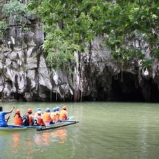
Parc national de la rivière souterraine de Puerto Princesa
119.8 km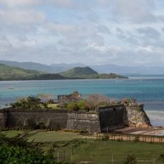
Fort Santa Isabel
32.1 km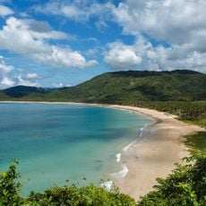
Nacpan Beach
24.2 km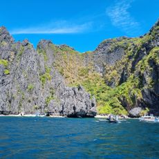
Secret Lagoon
20.7 km
Malampaya Sound Protected Landscape/Seascape
36.8 km
Hidden Beach
25.2 km
El Nido-Taytay Managed Resource Protected Area
21.5 km
Seven Commandos Beach
14.7 km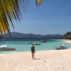
Malcapuya Island
100.8 km
Bulog Dos Island
101.4 km
Big Lagoon
20 km
Small Lagoon
20 km
Atwayan Beach
118.6 km
Beach 91
119.3 km
Matinloc Shrine
26.4 km
Talisay Beach
26.5 km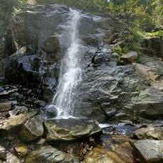
Nagkalit-kalit Waterfalls
17.1 km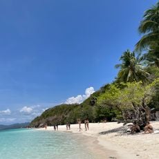
Malcapuya Island Beach Resort
100.5 km
Ille Cave
9 km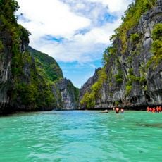
Small Lagoon to Big Lagoon
19.9 km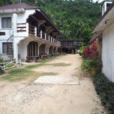
Tres Verdes Beach Resort & Resto Bar
12.7 km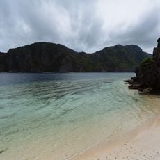
Secret Beach
25.8 km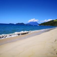
Erawan Beach
55.7 km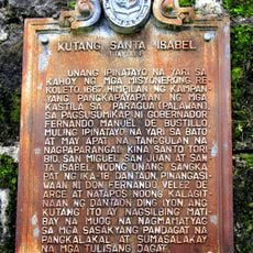
Fort Santa Isabel historical marker
32.1 km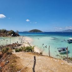
Ditaytayan Beach
95.6 km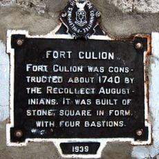
Fort Culion historical marker
103.6 km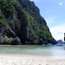
Secret Lagoon
20.7 km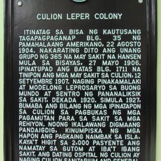
Culion Leper Colony historical marker
103.5 kmVous avez visité ce lieu ? Touchez les étoiles pour le noter et partager votre expérience ou vos photos avec la communauté ! Essayez maintenant ! Vous pouvez annuler à tout moment.
Trouvez des trésors cachés à chaque coin de rue !
Des petits cafés pittoresques aux points de vue planqués, fuyez la foule et dénichez les lieux qui vous ressemblent vraiment. Notre app vous facilite la vie : recherche vocale, filtres malins, itinéraires optimisés et bons plans partagés par des voyageurs du monde entier. Téléchargez vite pour vivre l'aventure en version mobile !

Une approche inédite de la découverte touristique❞
— Le Figaro
Tous les lieux qui valent la peine d'être explorés❞
— France Info
Une excursion sur mesure en quelques clics❞
— 20 Minutes