Teresa, municipalité des Philippines
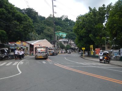
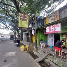
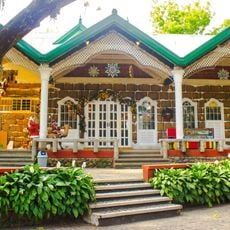
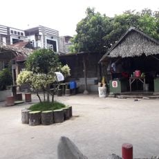
Teresa est une municipalité dans la province de Rizal caractérisée par des maisons résidentielles simples, de petits magasins et des rues tranquilles où la vie quotidienne se déroule à un rythme mesuré. La ville mêle des champs verts et de petites fermes avec des espaces publics bien entretenus dans une disposition facile à parcourir à pied.
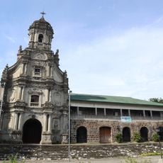
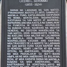
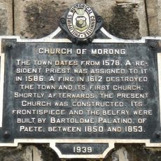
La ville a émergé au début du 20e siècle et s'est développée lentement en conservant son caractère philippin traditionnel. Au fur et à mesure que les résidents sont restés ancrés dans leurs coutumes, la communauté a construit une identité commune qui continue de façonner la vie actuelle.
Le marché public est l'endroit où les habitants se rencontrent régulièrement pour acheter des produits frais et des articles locaux. Ces interactions quotidiennes reflètent comment la communauté maintient ses liens par des rencontres naturelles dans les espaces partagés.
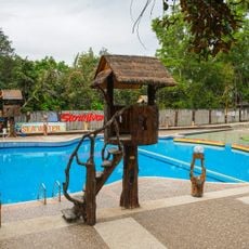
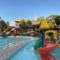
La ville est petite et facile à explorer à pied, avec des tricycles et des jeepneys disponibles pour les trajets vers les villes voisines. Les services de base incluent de petits magasins, un marché public et quelques restaurants, permettant aux visiteurs de trouver ce dont ils ont besoin localement.
La ville accueille une fête annuelle où les résidents se réunissent pour profiter de la nourriture, la musique et la danse, démontrant la chaleur et l'unité de la communauté. Cette célébration révèle à quel point les traditions locales sont profondément tissées dans la vie sociale.
La communauté des voyageurs curieux
AroundUs rassemble des milliers de lieux sélectionnés, conseils locaux et pépites cachées, enrichis chaque jour par plus de 60,000 contributeurs à travers le monde.