Santa Maria, municipalité de la province de Laguna, aux Philippines
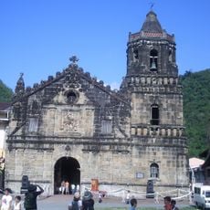
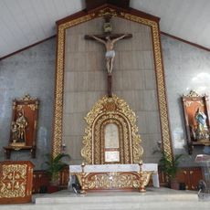
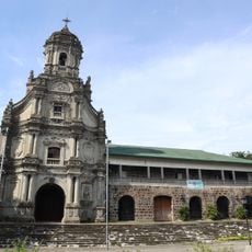
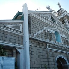
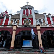
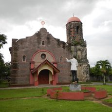
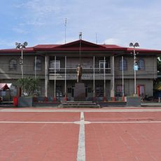
Santa Maria est une petite municipalité de la province de Laguna aux Philippines, composée de 25 zones administratives appelées barangays. L'église paroissiale Nuestra Señora de los Angeles se dresse en son centre et a été reconstruite plusieurs fois, sa façade conservant des caractéristiques de la construction espagnole précoce.
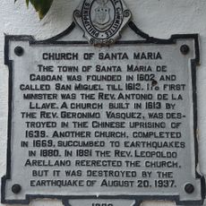
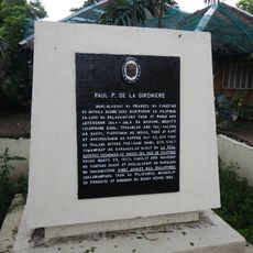
La ville faisait à l'origine partie d'une région plus grande appelée Caboan, signifiant fourrée de bambou, et était nommée San Miguel de Caboan pendant la période espagnole. Après de multiples catastrophes naturelles et conflits, l'église a été détruite et reconstruite à plusieurs reprises, notamment après la Seconde Guerre mondiale.
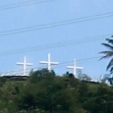
Le nom de la ville provient d'une légende concernant une image de la Vierge Marie qu'un couple a trouvée en rentrant du marché, qu'il croyait miraculeuse. Les gens se rassemblent lors de festivals locaux et de célébrations religieuses où les danses traditionnelles, les chants et l'artisanat maintiennent vivant le patrimoine partagé.
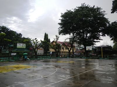
La ville est à environ 50 kilomètres du centre de la capitale Manila et est accessible pour une excursion d'une journée. Les lieux principaux sont à distance de marche, les rues étant larges et faciles à naviguer.
Le nom de la ville provient d'un couple qui a trouvé ce qu'il pensait être une figurine en porcelaine qui s'est avéré être une image sacrée de la Vierge Marie, censée accomplir des miracles. Cette découverte a conduit à la construction de la première église et a rendu le lieu spirituellement important pour de nombreuses personnes.
La communauté des voyageurs curieux
AroundUs rassemble des milliers de lieux sélectionnés, conseils locaux et pépites cachées, enrichis chaque jour par plus de 60,000 contributeurs à travers le monde.