Paete, commune des Philippines
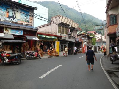
Paete est une commune de la province de Laguna, aux Philippines, reconnue pour la sculpture sur bois et bambou pratiquée par de nombreux habitants. La rue principale longe de petits ateliers et des boutiques où les pièces terminées, surtout des figures religieuses et des objets décoratifs, sont fabriquées et vendues sur place.
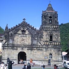
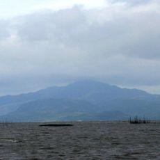
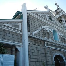
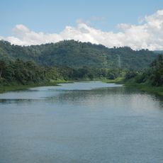
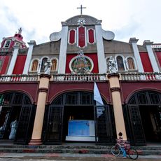
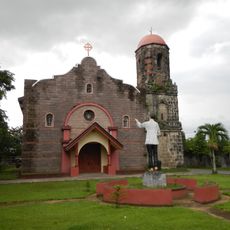
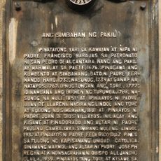
Paete a commencé comme un petit village de pêcheurs sur les rives du lac Laguna de Bay et fut atteint par des missionnaires espagnols au 16e siècle, qui y bâtirent une église. L'art de la sculpture, utilisé d'abord surtout pour produire des figures religieuses pour cette église, se transmit de famille en famille et devint peu à peu le socle de la vie locale.
Le nom du bourg vient d'un outil de sculpture qu'un missionnaire espagnol remarqua et décrivit lors de ses premières visites. Beaucoup d'artisans travaillent encore avec les portes de leur atelier ouvertes, si bien que passer dans la rue principale revient à voir des figures prendre forme dans le bois brut en temps réel.
Le bourg se trouve à quelques heures de Manille par la route et se rejoint plus confortablement en bus ou en véhicule privé; des jeepneys sont également disponibles depuis le centre provincial voisin de Santa Cruz. La plupart des ateliers et boutiques n'acceptent que les espèces, il vaut donc mieux arriver avec suffisamment d'argent liquide avant de commencer à flâner.
Les cloches de l'église, dont certaines datent des 18e et 19e siècles, sonnent encore selon des motifs différents selon le type d'événement annoncé, comme un incendie ou un décès dans la communauté. Ce système de codes de cloches est resté en usage et confère à l'église un rôle dans la vie quotidienne qui dépasse largement les offices du dimanche.
La communauté des voyageurs curieux
AroundUs rassemble des milliers de lieux sélectionnés, conseils locaux et pépites cachées, enrichis chaque jour par plus de 60,000 contributeurs à travers le monde.