Arayat, villes des Philippines
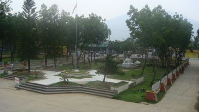
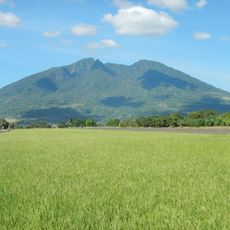
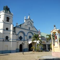
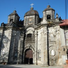
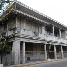
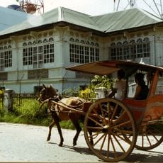
Arayat est une municipalité de Pampanga située au pied du mont Arayat, un volcan marquant le paysage régional. La localité s'étend sur des terres agricoles et des zones résidentielles qui gardent leur caractère campagnard.
La municipalité a ses origines dans la période coloniale en tant que colonie agricole. La présence du mont Arayat a fortement influencé les modèles d'établissement et l'exploitation des ressources locales.
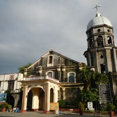
La zone est accessible par les transports locaux et offre des itinéraires pédestres vers le volcan pour les amateurs d'activités extérieures. Les visiteurs doivent se préparer aux terrains ruraux et aux conditions météorologiques changeantes.
Le nom Arayat provient d'une langue indigène et désigne un lieu élevé ou un sommet. Cette dénomination reflète le lien profond entre la localité et le trait volcanique dominant du territoire.
La communauté des voyageurs curieux
AroundUs rassemble des milliers de lieux sélectionnés, conseils locaux et pépites cachées, enrichis chaque jour par plus de 60,000 contributeurs à travers le monde.