Balagtas, commune des Philippines
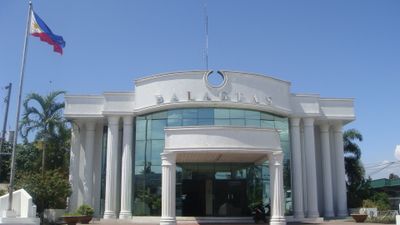
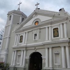
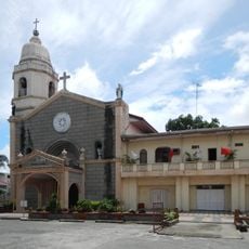
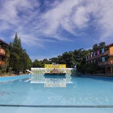
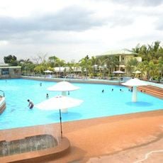
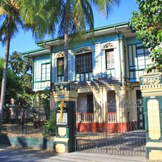
Balagtas est une municipalité dans la province de Bulacan aux Philippines, répartie sur neuf barangays avec environ 77 000 habitants. Des bâtiments simples bordent les rues, et la ville a un caractère modeste et accueillant où les magasins locaux et les maisons sont très proches les uns des autres.
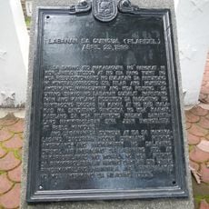
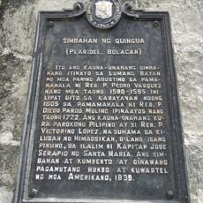
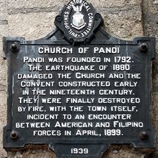
La ville s'appelait à l'origine Bigaa, nommée d'après une plante taro locale, et était aussi connue sous le nom de Caruya à l'époque espagnole. Elle a joué un rôle dans la Révolution philippine, et en 1946, une section appelée Hacienda de Pandi s'est séparée pour devenir sa propre municipalité.
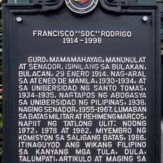
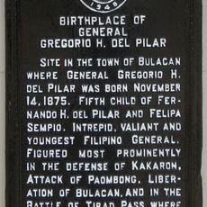
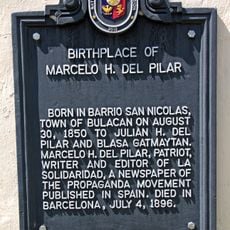
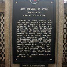
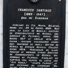
La ville porte le nom de Francisco Baltazar, un poète de l'époque espagnole dont l'héritage façonne la fierté locale. Les habitants partagent des histoires sur son travail, et vous pouvez voir cette connexion reflétée dans la manière dont les gens parlent des racines culturelles de leur ville.
La ville est située le long de la route MacArthur, ce qui la rend facile d'accès depuis d'autres zones. Elle est divisée en neuf barangays, chacun avec ses propres chefs locaux, il est donc utile de demander des indications aux habitants si vous souhaitez explorer différentes parties de la ville.
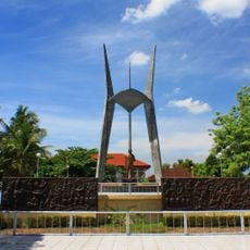
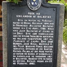
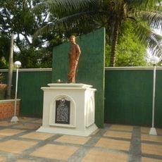
Une statue du poète Francisco Baltazar se dresse près de la mairie à Panginay, un site considéré comme le lieu de naissance de Baltazar. Ce lieu montre comment la ville préserve et honore son héritage littéraire.
La communauté des voyageurs curieux
AroundUs rassemble des milliers de lieux sélectionnés, conseils locaux et pépites cachées, enrichis chaque jour par plus de 60,000 contributeurs à travers le monde.