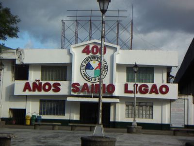
Ligao, municipalité des Philippines
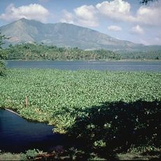
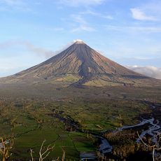
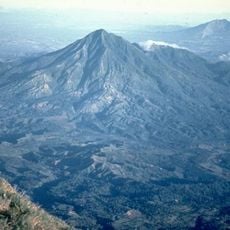
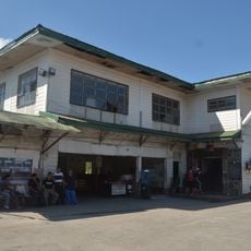
Ligao est une ville composante de la province d'Albay à Luzon, située le long du passage Burias avec des vues côtières. La ville s'étend sur environ 247 kilomètres carrés de terrain essentiellement plat avec des collines douces au loin.
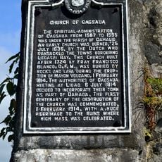
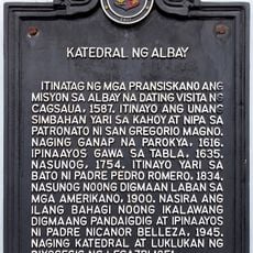
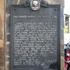
L'établissement a commencé au 16e siècle et a grandi grâce à l'agriculture et au commerce au fil des siècles. Il est officiellement devenu une ville indépendante au début des années 2000 après que les résidents aient voté en faveur du statut de ville.
Ligao porte fièrement le titre de Capitale du Tournesol des Philippines, avec des champs remplis de fleurs brillantes pendant la saison des récoltes. Les résidents entretiennent des liens forts avec la mer, nombreux sont ceux qui travaillent dans la pêche et les métiers connexes.
La ville est accessible à pied avec des bus et des tricycles disponibles pour les déplacements locaux. Elle se situe à environ 27 kilomètres de Legazpi, ce qui facilite les excursions d'une journée.
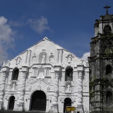
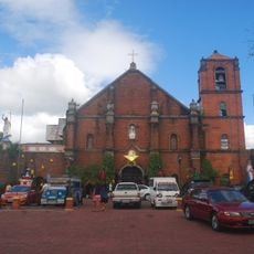
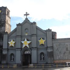
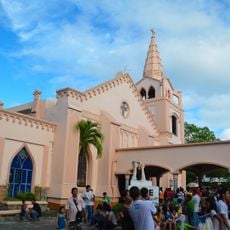
La fête du 26 décembre célébrant Saint-Étienne apporte des défilés, des costumes traditionnels et des réunions familiales dans les rues. Cette célébration locale est moins connue que les jours fériés nationaux mais offre des aperçus des traditions régionales.
La communauté des voyageurs curieux
AroundUs rassemble des milliers de lieux sélectionnés, conseils locaux et pépites cachées, enrichis chaque jour par plus de 60,000 contributeurs à travers le monde.