
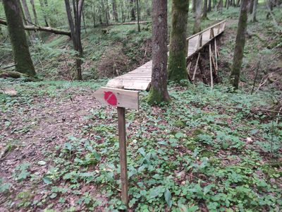
Liepijų miško pėsčiųjų trasa, naučná stezka, Žemaitijský národní park, Telšiaiský kraj, Litva
Emplacement : Plateliai Eldership
Coordonnées GPS : 56.03488,21.78556
Dernière mise à jour : 25 septembre 2025 à 08:40
Parc national de Žemaitija
6.5 km
Salantai Regional Park
11.9 km
Raganos uosis
1.9 km
Church of St. Mark the Evangelist, Šateikiai
7.8 km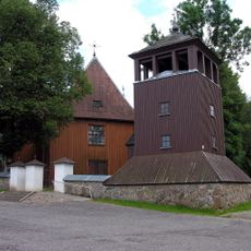
Church of St. Peter and St. Paul, Plateliai
2 km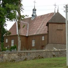
Church of St. Stanislaus the Bishop, Beržoras
2 km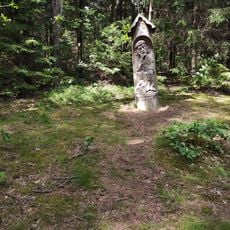
Paplatelė Educational Trail
6.8 km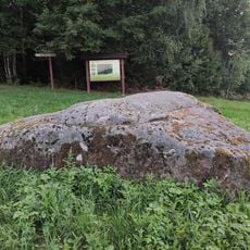
Stone Ubagų kalnas
592 m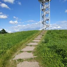
Siberijos Watchtower
1.9 km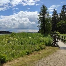
Šeirė Educational Trail
3 km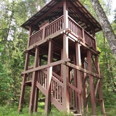
Paplatelė Trail Watchtower
6.9 km
Mikytų piliakalnis
10.6 km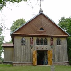
Church of St. Matthew, Gintališkė
4.2 km
Gegrėnų piliakalnis
11 km
Laivių piliakalnis
12.6 km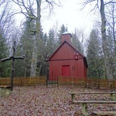
Sorai chapel
11.8 km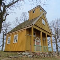
Bukantė chapel
6.6 km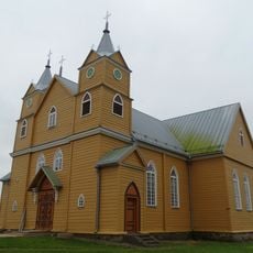
Church of St. Catherine the Martyr, Notėnai
8.7 km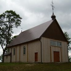
Church of Jesus of Nazareth in Gegrėnai
11.2 km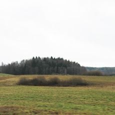
Pūčkorių 1 hillfort
10 km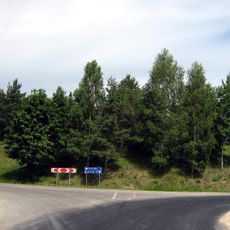
Užpelkių piliakalnis
4.7 km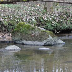
Laivių Laumės kūlis
12.4 km
Girkantų piliakalnis
13 km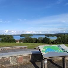
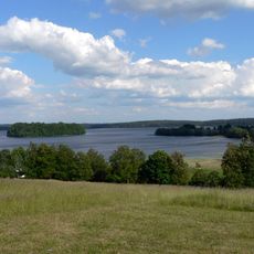
Plateliai Lake Lookout
3 km
Žernių piliakalnis
12.4 km
Pūčkorių 2 hillfort
9.6 km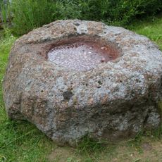
Gargždelės akmuo su dubeniu
11 km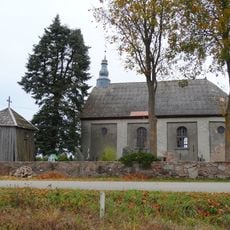
Chapel in Gargždelė
11.8 kmAvis
Vous avez visité ce lieu ? Touchez les étoiles pour le noter et partager votre expérience ou vos photos avec la communauté ! Essayez maintenant ! Vous pouvez annuler à tout moment.
Trouvez des trésors cachés à chaque coin de rue !
Des petits cafés pittoresques aux points de vue planqués, fuyez la foule et dénichez les lieux qui vous ressemblent vraiment. Notre app vous facilite la vie : recherche vocale, filtres malins, itinéraires optimisés et bons plans partagés par des voyageurs du monde entier. Téléchargez vite pour vivre l'aventure en version mobile !

Une approche inédite de la découverte touristique❞
— Le Figaro
Tous les lieux qui valent la peine d'être explorés❞
— France Info
Une excursion sur mesure en quelques clics❞
— 20 Minutes