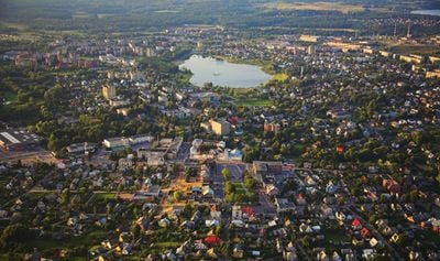
Utena, ville de Lituanie
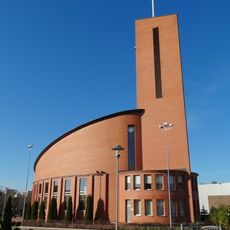
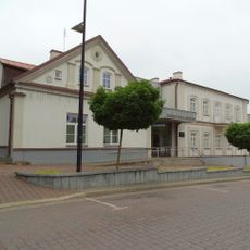
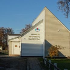
Utena est une ville située dans la municipalité du district d'Utena, dans la partie orientale de la Lituanie. Elle possède un centre compact avec des magasins locaux, des services et des espaces publics qui répondent aux besoins quotidiens de la communauté.
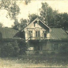
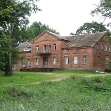
La ville s'est développée d'un établissement rural en centre régional pendant la période soviétique lorsque l'industrie et l'infrastructure se sont étendues. Après l'indépendance de la Lituanie, elle s'est adaptée aux nouveaux changements économiques et sociaux affectant la région.
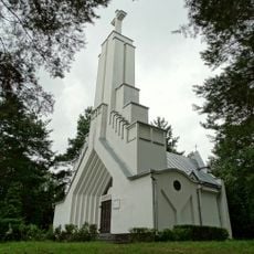
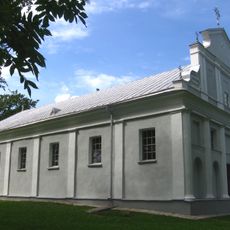
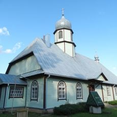
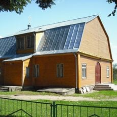
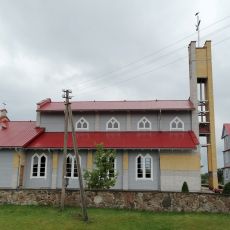
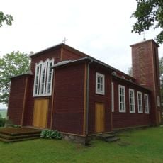
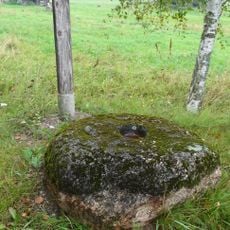
Le nom a des racines baltes liées au paysage local et au passé de la région. Les habitants se rassemblent régulièrement dans les espaces publics pour des marchés et des événements communautaires qui marquent la vie quotidienne.
La ville est accessible par les transports en commun et la route, avec un stationnement limité au centre qui nécessite de marcher. La plupart des lieux sont accessibles à pied une fois que vous êtes dans la zone principale.
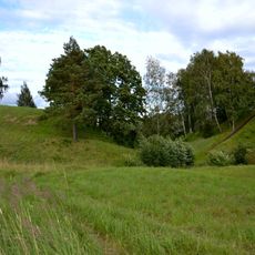
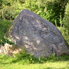
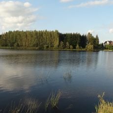
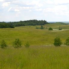
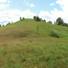
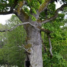
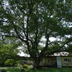
La ville se trouve dans une zone entourée de vastes forêts qui façonnent l'environnement local et offrent des opportunités en plein air. Ce cadre forestier la distingue des plus grands centres urbains de Lituanie.
La communauté des voyageurs curieux
AroundUs rassemble des milliers de lieux sélectionnés, conseils locaux et pépites cachées, enrichis chaque jour par plus de 60,000 contributeurs à travers le monde.