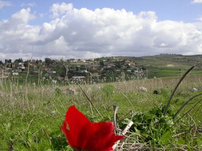
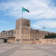
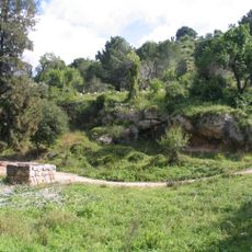
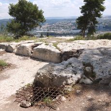
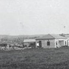
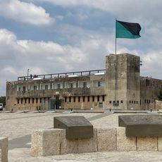
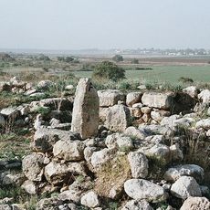
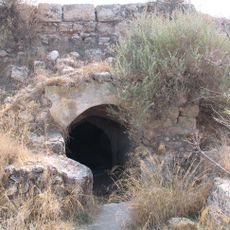
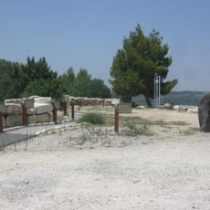
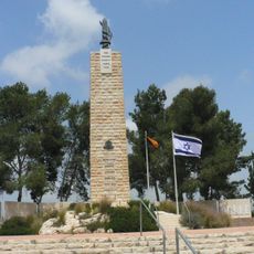
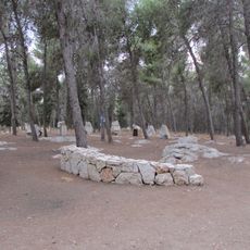
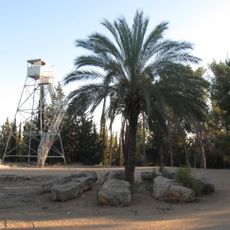
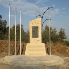
Kfar-Ouria, localité en Israël
Emplacement : Mateh Yehuda Regional Council
Création : 1944
Altitude : 205 m
Coordonnées GPS : 31.79360,34.94840
Dernière mise à jour : 17 avril 2025 à 04:25
Yad La-Shiryon
5.8 km
Karmei Yosef
6.6 km
Abbaye de Latroun
5.3 km
Canada Park
6.9 km
Zorah
4.1 km
Mini Israël
5.7 km
Mishmar David
5.4 km
Eshtaol
6 km
Yad Lashiryon
5.7 km
Monastère Notre-Dame-de-Palestine
2 km
Tel Batash
3.6 km
Latrun Castle
5.3 km
Biblical Museum of Natural History
6.2 km
Latrun fort
5.8 km
Jewish Patisans and Ghetto fighers memorial in Latrun, Israel
5.6 km
Mahal memorial
7.1 km
Israeli Police Heritage Center
5.9 km
From Fragments to Hope Memorial
5.9 km
IDF 184th Tank Battalion Memorial
2.8 km
Alexandroni Brigade memorial in Latrun
4.1 km
The Biblical Museum of Natural History
5.1 km
5th Palmach Battalion Monument
7.1 km
Road of Heroism Monument in memory of the Fallen of the IDF Engineering Corps
5.5 km
Memorial to the Fallen of the 500th IDF Brigade
5.7 km
Moshe Sharett Memorial
5.6 km
Latrun detension camp memorial
4.1 km
Church ruins at Emmaus Nicopolis
6.4 km
Association of Americans and Canadians in Israel Memorial Forest
7 kmAvis
Vous avez visité ce lieu ? Touchez les étoiles pour le noter et partager votre expérience ou vos photos avec la communauté ! Essayez maintenant ! Vous pouvez annuler à tout moment.
Trouvez des trésors cachés à chaque coin de rue !
Des petits cafés pittoresques aux points de vue planqués, fuyez la foule et dénichez les lieux qui vous ressemblent vraiment. Notre app vous facilite la vie : recherche vocale, filtres malins, itinéraires optimisés et bons plans partagés par des voyageurs du monde entier. Téléchargez vite pour vivre l'aventure en version mobile !
Une approche inédite de la découverte touristique❞
— Le Figaro
Tous les lieux qui valent la peine d'être explorés❞
— France Info
Une excursion sur mesure en quelques clics❞
— 20 Minutes