
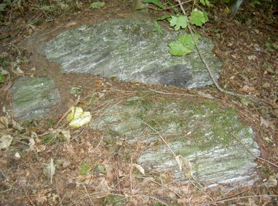
Serpentinithügel St. Nikolaus bei Floß, Geotop in Landkreis Neustadt a. d. Waldnaab in Bavaria, Germany
Emplacement : Floß
Altitude : 529 m
Longueur : 120 m
Largeur : 80 m
Site web : http://www.umweltatlas.bayern.de/mapapps/resources/reports/geotope/generateBericht.pdf?additionallayerfieldvalue=374R035
Coordonnées GPS : 49.72870,12.27802
Dernière mise à jour : 4 mars 2025 à 12:28
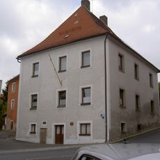
Podewilshaus Floß
442 m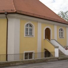
Synagoge (Floß)
372 m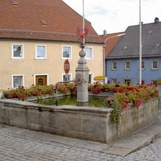
Floß Marktplatz Brunnen
557 m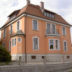
Riebl-Villa
553 m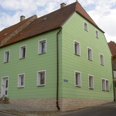
Wohnhaus
390 m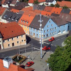
Ensemble Ortskern Floß (Upper Palatinate)
534 m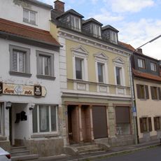
Wohn- und Geschäftshaus
518 m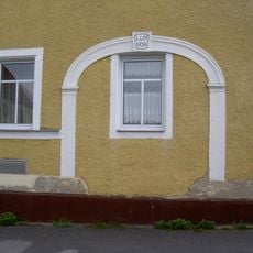
Steintorbogen
286 m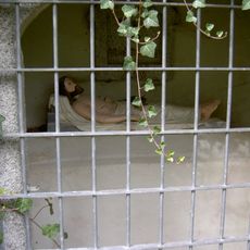
Heiliges Grab Nikolausberg Floß
34 m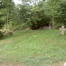
Steinkreuze Nikolausberg Floß
64 m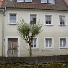
Haustür
538 m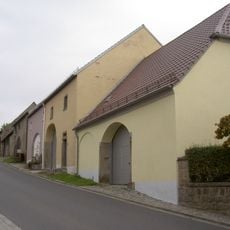
Stadelreihe
267 m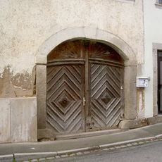
Torbogen
370 m
Wohnhaus
550 m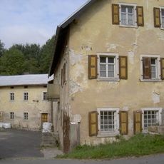
Ehemalige Mühle
533 m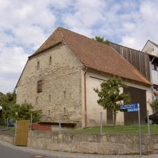
Stadel
275 m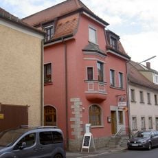
Wohn- und Geschäftshaus
528 m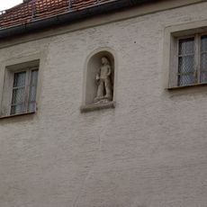
Nischenfigur
473 m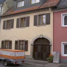
Wohnhaus
514 m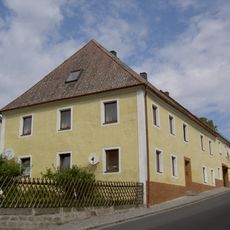
Wohnhaus
304 m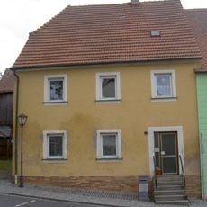
Wohnhaus
381 m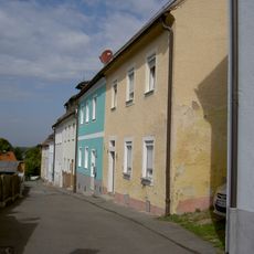
Ensemble ehemaliges Judenviertel in Floß (Upper Palatinate)
328 m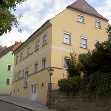
Wohnhaus
408 m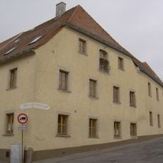
Wohn- und Wirtschaftsgebäude
318 m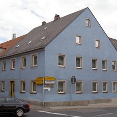
Wohnhaus
523 m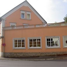
Wohnhaus
494 m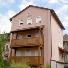
Floß Mühlgraben 14 Haberstumpfmühle
472 m
Wohnhaus
525 mAvis
Vous avez visité ce lieu ? Touchez les étoiles pour le noter et partager votre expérience ou vos photos avec la communauté ! Essayez maintenant ! Vous pouvez annuler à tout moment.
Trouvez des trésors cachés à chaque coin de rue !
Des petits cafés pittoresques aux points de vue planqués, fuyez la foule et dénichez les lieux qui vous ressemblent vraiment. Notre app vous facilite la vie : recherche vocale, filtres malins, itinéraires optimisés et bons plans partagés par des voyageurs du monde entier. Téléchargez vite pour vivre l'aventure en version mobile !

Une approche inédite de la découverte touristique❞
— Le Figaro
Tous les lieux qui valent la peine d'être explorés❞
— France Info
Une excursion sur mesure en quelques clics❞
— 20 Minutes