Whitehall, établissement humain en comté de Jefferson, Montana, États-Unis
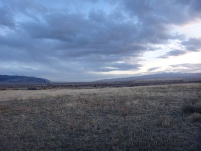
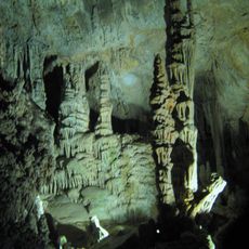
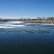
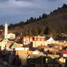
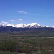
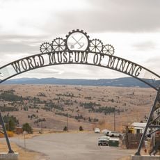
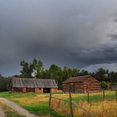
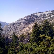
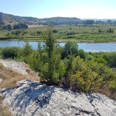
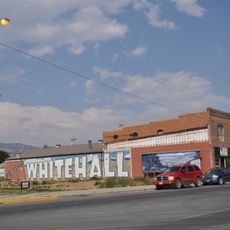
Whitehall est une petite ville dans le sud-ouest du Montana située le long de l'Interstate 90 et de la rivière Jefferson. Elle se situe parmi les hautes montagnes et les forêts vertes, servant de centre pour explorer plusieurs rivières majeures dont la Beaverhead, Big Hole et Madison, ainsi que les cavernes Lewis et Clark et le lac Delmoe à proximité.
Les tribus autochtones utilisaient la région autour de Whitehall comme point d'arrêt lors de leurs déplacements entre les plaines et les montagnes. L'Expédition de Lewis et Clark a traversé la région au début du 19e siècle, suivie par des négociants en fourrures qui ont exploré les voies navigables de la région.
Le nom de la ville peut venir d'un endroit en Illinois ou d'une station sur Whitehall Creek. Des murales locales dans toute la ville dépeignent l'Expédition de Lewis et Clark, connectant les résidents et les visiteurs au voyage des explorateurs et à l'histoire américaine précoce de la région.
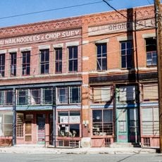
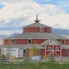
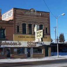
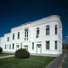
La ville est convenablement située le long de l'Interstate 90, ce qui facilite l'accès en voiture. Les visiteurs trouveront plusieurs options d'hébergement, notamment des motels, des parcs pour camping-cars et des auberges, ainsi que des magasins et galeries locaux vendant des artisanats et cadeaux faits à la main.
Un point de repère notable en ville est une haute cheminée restante d'une usine de betteraves sucrières échouée qui a commencé en 1917 mais n'a jamais été achevée. La structure subsiste comme un rappel silencieux des espoirs économiques et des difficultés qui ont façonné la croissance précoce de la ville.
La communauté des voyageurs curieux
AroundUs rassemble des milliers de lieux sélectionnés, conseils locaux et pépites cachées, enrichis chaque jour par plus de 60,000 contributeurs à travers le monde.