
Indian Point, cliff in Mesa County, Colorado, United States of America
Emplacement : Mesa County
Coordonnées GPS : 38.91556,-108.18000
Dernière mise à jour : 10 mars 2025 à 03:11
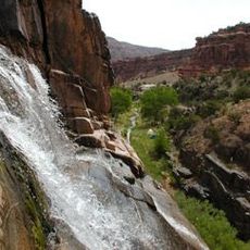
Dominguez Canyon Wilderness
27.6 km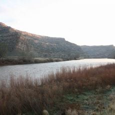
James M. Robb – Colorado River State Park
29 km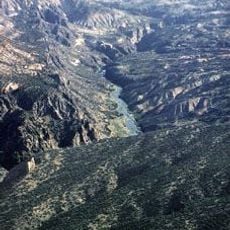
Gunnison Gorge National Conservation Area
41 km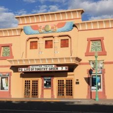
Egyptian Theatre
21.7 km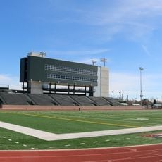
Ralph Stocker Stadium
36.8 km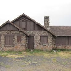
Land's End Observatory
12.8 km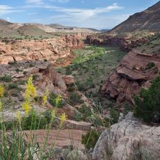
Dominguez-Escalante National Conservation Area
26 km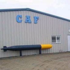
CAF Rocky Mountain Wing Museum
37.4 km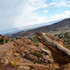
Serpents Trail
41.5 km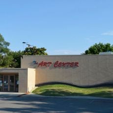
Western Colorado Center for the Arts
37.9 km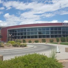
Mesa County Public Library District
37.5 km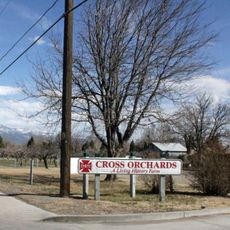
Cross Orchards Historic Site
32.8 km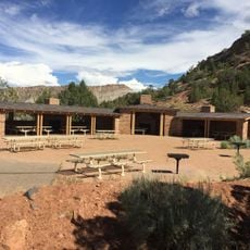
Devils Kitchen Picnic Shelter
41.4 km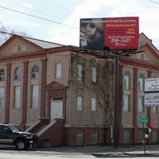
Clifton Community Center and Church
30.4 km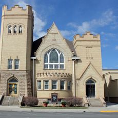
First Methodist Episcopal Church of Delta
21.8 km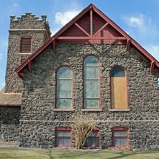
First Presbyterian Church of Eckert
20.6 km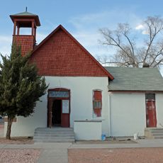
Handy Chapel
37.8 km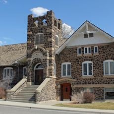
Hotchkiss Methodist Episcopal Church
42 km
Dinosaur Diamond Prehistoric Highway
38 km
North Seventh Street Historic Residential District
37.2 km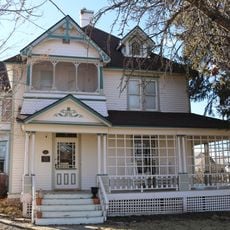
Garnethurst
22 km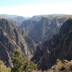
Black Canyon of the Gunnison
33.2 km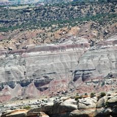
Canyon No Thoroughfare
38.8 km
The Art Center
37.9 km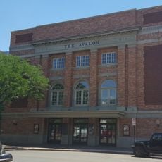
Avalon Theatre
37.1 km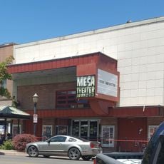
Mesa Theater
37.2 km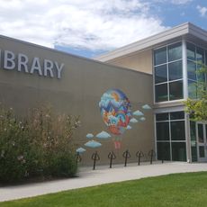
Mesa County Public Library District - Central Library
37.4 km
Devils Kitchen Picnic Area
41.4 kmAvis
Vous avez visité ce lieu ? Touchez les étoiles pour le noter et partager votre expérience ou vos photos avec la communauté ! Essayez maintenant ! Vous pouvez annuler à tout moment.
Trouvez des trésors cachés à chaque coin de rue !
Des petits cafés pittoresques aux points de vue planqués, fuyez la foule et dénichez les lieux qui vous ressemblent vraiment. Notre app vous facilite la vie : recherche vocale, filtres malins, itinéraires optimisés et bons plans partagés par des voyageurs du monde entier. Téléchargez vite pour vivre l'aventure en version mobile !

Une approche inédite de la découverte touristique❞
— Le Figaro
Tous les lieux qui valent la peine d'être explorés❞
— France Info
Une excursion sur mesure en quelques clics❞
— 20 Minutes