
Errk Oykangand National Park, national park in Queensland, Australia
Emplacement : Carpentaria Shire
Opérateur : Queensland Department of Environment and Science
Coordonnées GPS : -15.47844,142.11091
Dernière mise à jour : 5 mars 2025 à 04:48
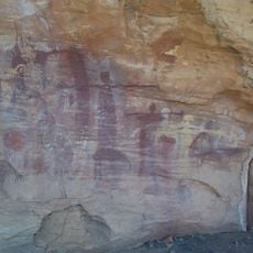
Quinkan rock art
250 km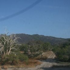
Cape Melville National Park (Cape York Peninsula Aboriginal Land)
281.7 km
Staaten River National Park
141.9 km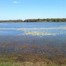
Rinyirru (Lakefield) National Park
211.5 km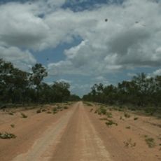
Oyala Thumotang National Park
224.1 km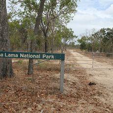
Lama Lama National Park
197.8 km
Claremont Isles National Park
246.7 km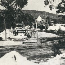
Wenlock Goldfield
280.7 km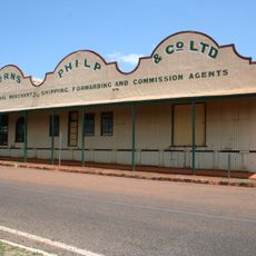
Burns Philp Building, Normanton
267.3 km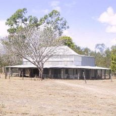
Old Laura Homestead
251.9 km
Alwal National Park
160.7 km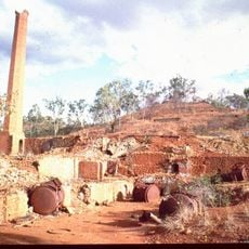
OK Mine & Smelter
260.6 km
Laura to Maytown Coach Road
242.1 km
Musgrave Telegraph Station
166.7 km
Musgrave
168.6 km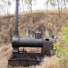
Anglo Saxon Mine
258.6 km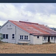
Coen Carrier Station
207.5 km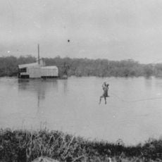
Palmer River Gold Company Dredge
159.2 km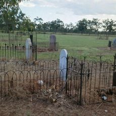
Normanton Cemetery
269.8 km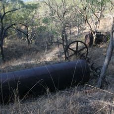
Alexandra Mine and Battery
246.3 km
Normanton Gaol
267.4 km
Ebagoola Township and Battery
180.4 km
Tabletop Cemetery
290.8 km
Wild Irish Girl Mine and Battery
242.1 km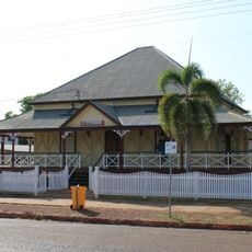
Westpac Bank Building, Normanton
267.8 km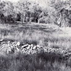
Stonyville Township
254.9 km
KULLA (McIlwraith Range) National Park (Cape York Peninsula Aboriginal Land)
237.5 km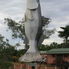
Big Barramundi
269 kmVous avez visité ce lieu ? Touchez les étoiles pour le noter et partager votre expérience ou vos photos avec la communauté ! Essayez maintenant ! Vous pouvez annuler à tout moment.
Trouvez des trésors cachés à chaque coin de rue !
Des petits cafés pittoresques aux points de vue planqués, fuyez la foule et dénichez les lieux qui vous ressemblent vraiment. Notre app vous facilite la vie : recherche vocale, filtres malins, itinéraires optimisés et bons plans partagés par des voyageurs du monde entier. Téléchargez vite pour vivre l'aventure en version mobile !

Une approche inédite de la découverte touristique❞
— Le Figaro
Tous les lieux qui valent la peine d'être explorés❞
— France Info
Une excursion sur mesure en quelques clics❞
— 20 Minutes