
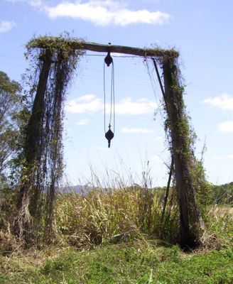
Carmila Cane Lift, historic site in Queensland, Australia
Emplacement : Queensland
Coordonnées GPS : -21.92810,149.36820
Dernière mise à jour : 4 mars 2025 à 05:57
Cape Palmerston National Park
38.1 km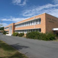
Sugar Research Institute
88 km
Dipperu National Park
67.4 km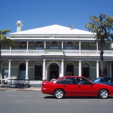
Commonwealth Bank Building, Mackay
89.5 km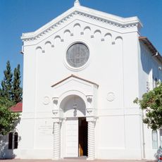
Holy Trinity Church, Mackay
89.3 km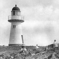
Flat Top Island Light
86.3 km
Northumberland Islands National Park
57.5 km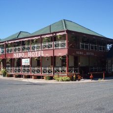
Nebo Hotel
75.1 km
Yuwi Paree Toolkoon National Park
84.7 km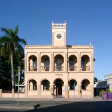
Mackay Town Hall
89.5 km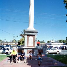
World War I Cenotaph, Mackay
89.4 km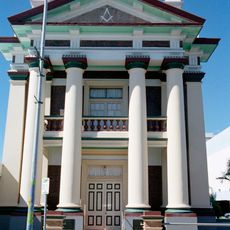
Mackay Masonic Temple
89.4 km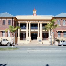
Mackay Court House and Police Station
89.5 km
Selwyn House, Mackay
88.1 km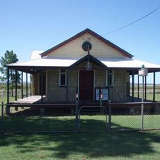
St Lawrence Police Station
49.2 km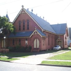
St Paul's Uniting Church, Mackay
89.6 km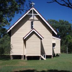
Christ Church Anglican Church, St Lawrence
49.8 km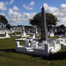
Mackay General Cemetery
89.7 km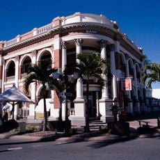
Queensland National Bank, Mackay
89.6 km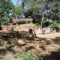
Meatworks and Wharf Site, St Lawrence
53.8 km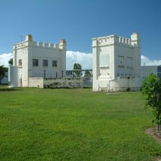
East Gordon Street Sewerage Works
89.1 km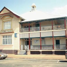
Mackay Technical College
89.1 km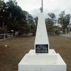
Koumala War Memorial
38 km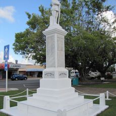
Sarina War Memorial
58.2 km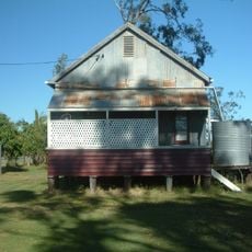
Homebush Mission Hall
79.6 km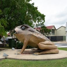
Cane Toad
58.4 km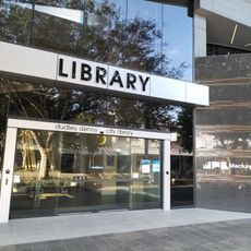
Dudley Denny City Library
89.7 km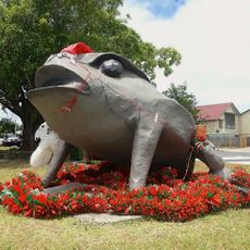
Big Cane Toad
58.4 kmVous avez visité ce lieu ? Touchez les étoiles pour le noter et partager votre expérience ou vos photos avec la communauté ! Essayez maintenant ! Vous pouvez annuler à tout moment.
Trouvez des trésors cachés à chaque coin de rue !
Des petits cafés pittoresques aux points de vue planqués, fuyez la foule et dénichez les lieux qui vous ressemblent vraiment. Notre app vous facilite la vie : recherche vocale, filtres malins, itinéraires optimisés et bons plans partagés par des voyageurs du monde entier. Téléchargez vite pour vivre l'aventure en version mobile !

Une approche inédite de la découverte touristique❞
— Le Figaro
Tous les lieux qui valent la peine d'être explorés❞
— France Info
Une excursion sur mesure en quelques clics❞
— 20 Minutes