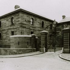
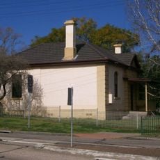
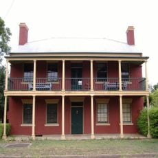
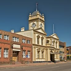
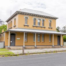
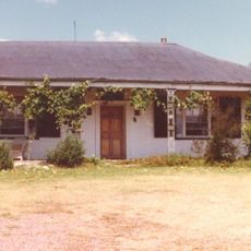
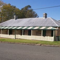
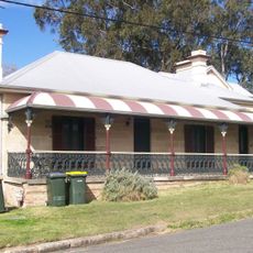
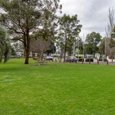
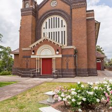
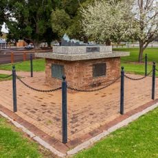
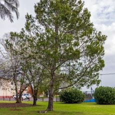
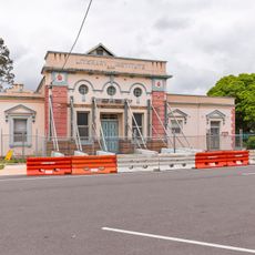
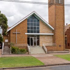
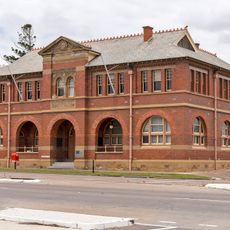
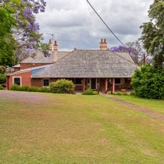
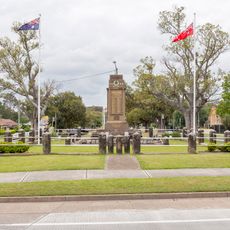
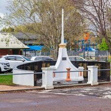
East Maitland, suburb in the City of Maitland, New South Wales, Australia
Emplacement : Maitland City Council
Coordonnées GPS : -32.75752,151.58546
Dernière mise à jour : 5 mars 2025 à 16:15
Maitland Gaol
1.5 km
St Peter's Anglican Church
981 m
East Maitland Police Station
1.5 km
Maitland Jewish Cemetery
2.8 km
Maitland Lodge of Unity Masonic Hall and Lodge
3.3 km
Englefield, East Maitland
1.6 km
Maitland Town Hall
3.2 km
East Maitland Post Office
1.3 km
Oldholme
962 m
Maitland Regional Art Gallery
3.2 km
Presbyterian High School
3.5 km
34-40 King Street, East Maitland
1 km
Smith's Flour Mill (former)
1.4 km
Goonoobah
1 km
St. Peter's Parish Hall, East Maitland
1 km
Maitland Park
3.3 km
St Joseph's Catholic Church
805 m
Maitland Sandakan Memorial
3.5 km
Lone Pine
3.4 km
East Maitland Literary Institute
1.2 km
Wesley Uniting church, East Maitland
1 km
National Servicemen's Memorial
3.4 km
Lands Office, East Maitland
1.1 km
St. Peter's Rectory, East Maitland
980 m
Methodist School Hall, East Maitland
1 km
East Maitland War Memorial
979 m
Bank of Australasia building
1.2 km
Maitland Boer War Memorial
3.4 kmAvis
Vous avez visité ce lieu ? Touchez les étoiles pour le noter et partager votre expérience ou vos photos avec la communauté ! Essayez maintenant ! Vous pouvez annuler à tout moment.
Trouvez des trésors cachés à chaque coin de rue !
Des petits cafés pittoresques aux points de vue planqués, fuyez la foule et dénichez les lieux qui vous ressemblent vraiment. Notre app vous facilite la vie : recherche vocale, filtres malins, itinéraires optimisés et bons plans partagés par des voyageurs du monde entier. Téléchargez vite pour vivre l'aventure en version mobile !
Une approche inédite de la découverte touristique❞
— Le Figaro
Tous les lieux qui valent la peine d'être explorés❞
— France Info
Une excursion sur mesure en quelques clics❞
— 20 Minutes