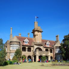
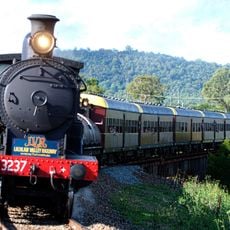
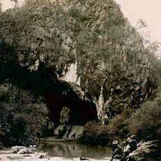
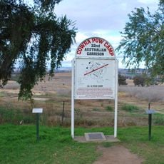
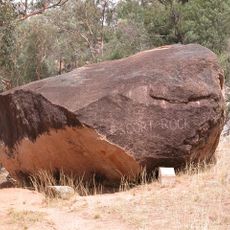
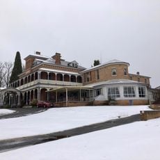
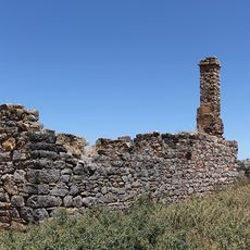
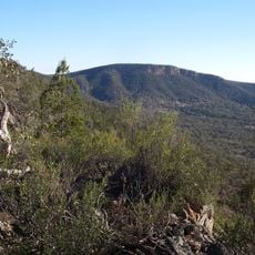
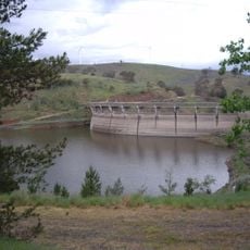
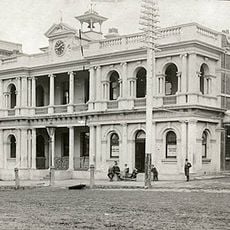
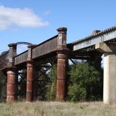
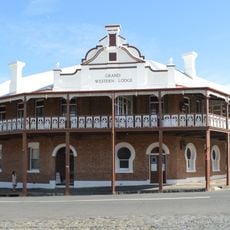
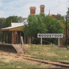
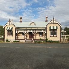
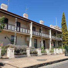
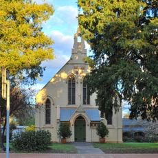
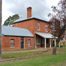
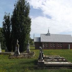
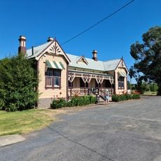
Cowra Shire, local government area in New South Wales, Australia
Téléphone : +61263402000
E-mail : council@cowra.nsw.gov.au
Site web : https://cowracouncil.com.au
Coordonnées GPS : -33.81113,148.69357
Dernière mise à jour : 9 mars 2025 à 13:19
Iandra Castle
42.7 km
Lachlan Valley Railway
3.3 km
Abercrombie Caves
61.8 km
Bloomfield Hospital
66.4 km
Cowra Prisoner of War Camp Site
1.2 km
Escort Rock
52.4 km
Duntryleague with Lodge, Park, Gates and former Stables, Woodward St, Orange, NSW, Australia
69.5 km
Cliefden Caves
30.3 km
Nangar National Park
45.1 km
Carcoar Dam
49.9 km
Orange Post Office
69.8 km
Lachlan River railway bridge, Cowra
4.5 km
Grand Western Lodge
61 km
Woodstock railway station, New South Wales
16.1 km
Grenfell railway station
50.6 km
Bowen Terrace
69.9 km
Old Rectory, Carcoar
47 km
Carcoar School of Arts
47 km
Burrangong Creek
55 km
Uniting Church and Kindergarten Hall, Orange
69.8 km
Blayney Uniting Church
60.8 km
The Saddlery
47 km
Uniting Church Cemetery Hobbys Yards
60.1 km
The Old Mill Cafe & Restaurant
60.9 km
Grenfell Railway Station
50.6 km
Japanese Garden
1.8 km
Cowra Library
2.9 km
Blayney Library
60.6 kmAvis
Vous avez visité ce lieu ? Touchez les étoiles pour le noter et partager votre expérience ou vos photos avec la communauté ! Essayez maintenant ! Vous pouvez annuler à tout moment.
Trouvez des trésors cachés à chaque coin de rue !
Des petits cafés pittoresques aux points de vue planqués, fuyez la foule et dénichez les lieux qui vous ressemblent vraiment. Notre app vous facilite la vie : recherche vocale, filtres malins, itinéraires optimisés et bons plans partagés par des voyageurs du monde entier. Téléchargez vite pour vivre l'aventure en version mobile !
Une approche inédite de la découverte touristique❞
— Le Figaro
Tous les lieux qui valent la peine d'être explorés❞
— France Info
Une excursion sur mesure en quelques clics❞
— 20 Minutes