
Googong, locality in New South Wales, Australia
Emplacement : Queanbeyan-Palerang Regional Council
Coordonnées GPS : -35.42221,149.23638
Dernière mise à jour : 19 mai 2025 à 10:57
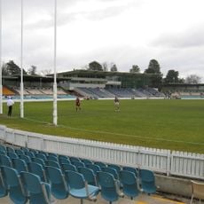
Manuka Oval
14.8 km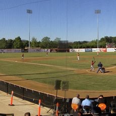
Narrabundah Ballpark
11.8 km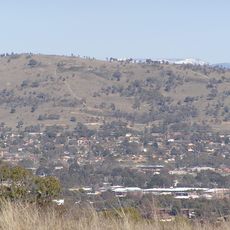
Mount Taylor
15.6 km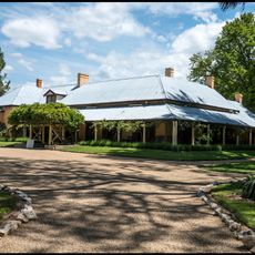
Lanyon Homestead
18 km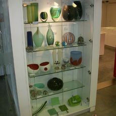
Canberra Glassworks
14.9 km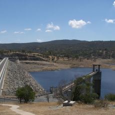
Googong Dam
1.6 km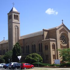
St. Christopher’s Cathedral
14.9 km
Jerrabomberra
10 km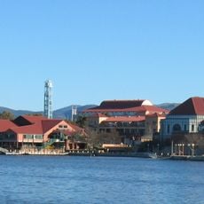
Tuggeranong Town Centre
15.5 km
Telopea Park
15 km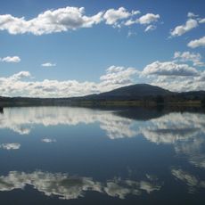
Lake Tuggeranong
15.5 km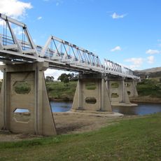
Tharwa Bridge
17.9 km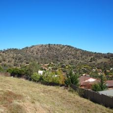
Tuggeranong Hill
12.2 km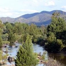
Pine Island Reserve
15.1 km
Tuggeranong Homestead
11.4 km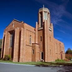
St Paul's Church, Manuka
14.6 km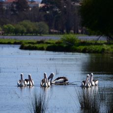
Jerrabomberra Wetlands Nature Reserve
14.1 km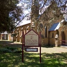
St Stephen's Presbyterian Church and Manse, Queanbeyan
7.8 km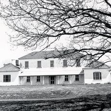
Carwoola Homestead
13.5 km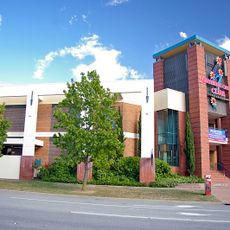
Southern Cross Stadium, Tuggeranong
15.8 km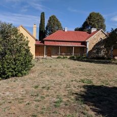
Rusten House
8.2 km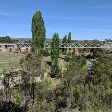
Queanbeyan railway bridges over Queanbeyan and Molonglo Rivers
8.9 km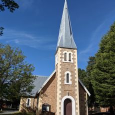
Christ Church, Queanbeyan
7.5 km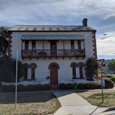
Byrnes Mill and Millhouse
7.9 km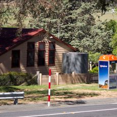
Tharwa Primary School
18.1 km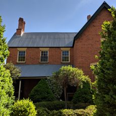
Hibernia Lodge
8 km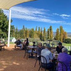
Lanyon Homestead
16.6 km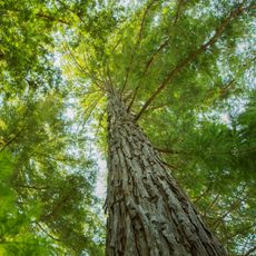
Redwood Plantation
12 kmAvis
Vous avez visité ce lieu ? Touchez les étoiles pour le noter et partager votre expérience ou vos photos avec la communauté ! Essayez maintenant ! Vous pouvez annuler à tout moment.
Trouvez des trésors cachés à chaque coin de rue !
Des petits cafés pittoresques aux points de vue planqués, fuyez la foule et dénichez les lieux qui vous ressemblent vraiment. Notre app vous facilite la vie : recherche vocale, filtres malins, itinéraires optimisés et bons plans partagés par des voyageurs du monde entier. Téléchargez vite pour vivre l'aventure en version mobile !

Une approche inédite de la découverte touristique❞
— Le Figaro
Tous les lieux qui valent la peine d'être explorés❞
— France Info
Une excursion sur mesure en quelques clics❞
— 20 Minutes