
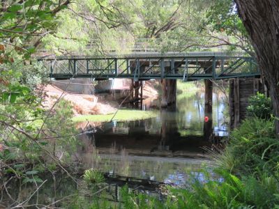
Harvey River Bridge, road bridge in Harvey, Western Australia
Emplacement : Shire of Harvey
Coordonnées GPS : -33.07651,115.90957
Dernière mise à jour : 28 novembre 2025 à 15:30
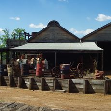
Yarloop Workshops
13.1 km
St Joseph's Church & Cottage
13.7 km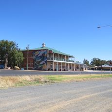
Wokalup Tavern
4.8 km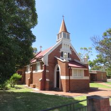
St Peter's Anglican Church
20.8 km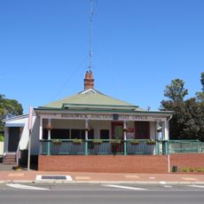
Brunswick Junction Post Office
20.7 km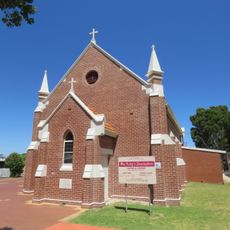
St Michael's Church
20.9 km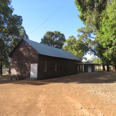
Hamel Hall
22.6 km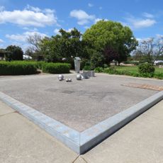
Drakesbrook School (former)
24.9 km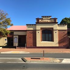
Memorial Hall
20.8 km
Hamel Nursery
23.2 km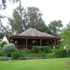
Stirling Cottage
82 m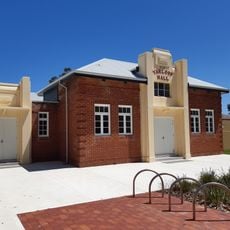
Yarloop Town Hall
13.5 km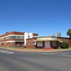
Peters Creamery
21.1 km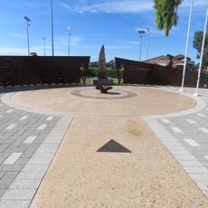
Harvey War Memorial
1.6 km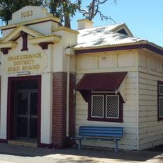
Drakesbrook District Road Board building
25.8 km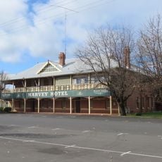
Harvey Hotel
1.1 km
Former Bank of New South Wales, Waroona
25.8 km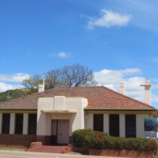
Former Irrigation Office, Waroona
25.7 km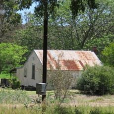
Railway Cottages, Waroona
24.8 km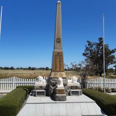
Yarloop War Memorial
13.1 km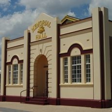
Waroona Memorial Hall
25.7 km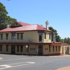
Brunswick Tavern
20.6 km
Harvey shire offices
1.6 km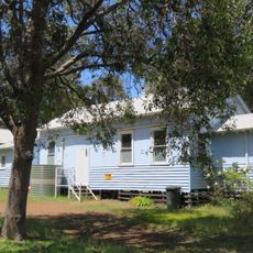
Waroona Scout and Guide Hall
25.6 km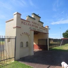
Harvey Recreation Grounds
1.7 km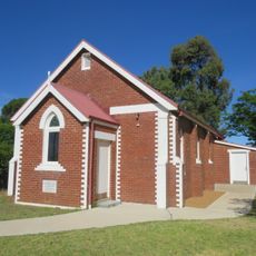
Church of Our Lady of the Immaculate Conception, Harvey
1.5 km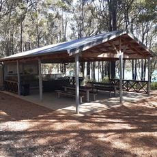
Lake Brockman Tourist Park
10.2 km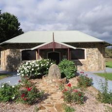
Italian Prisoner of War Shrine at Harvey Agric High School
407 mVous avez visité ce lieu ? Touchez les étoiles pour le noter et partager votre expérience ou vos photos avec la communauté ! Essayez maintenant ! Vous pouvez annuler à tout moment.
Trouvez des trésors cachés à chaque coin de rue !
Des petits cafés pittoresques aux points de vue planqués, fuyez la foule et dénichez les lieux qui vous ressemblent vraiment. Notre app vous facilite la vie : recherche vocale, filtres malins, itinéraires optimisés et bons plans partagés par des voyageurs du monde entier. Téléchargez vite pour vivre l'aventure en version mobile !

Une approche inédite de la découverte touristique❞
— Le Figaro
Tous les lieux qui valent la peine d'être explorés❞
— France Info
Une excursion sur mesure en quelques clics❞
— 20 Minutes