
Parc d'État du Pico do Itambé, state park in Minas Gerais, Brazil
Emplacement : Diamantina
Emplacement : Minas Gerais
Création : 1998
E-mail : peitambe@meioambiente.mg.gov.br
Coordonnées GPS : -18.39861,-43.34889
Dernière mise à jour : 4 mars 2025 à 03:11

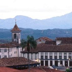
Historic Centre of the Town of Diamantina
32.3 km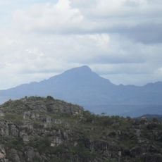
Pico do Itambé
47 m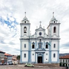
St. Anthony Cathedral, Diamantina
31.4 km
Biribiri State Park
40.1 km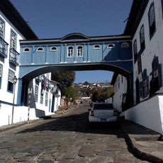
Casa da Glória
31.9 km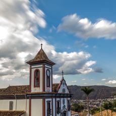
Church of Saint Francis of Assisi
31.5 km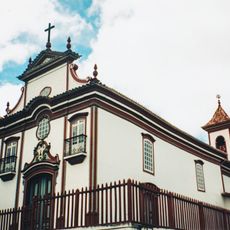
Church of Our Lady of Mount Carmel
31.2 km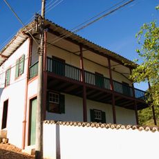
House of the Ottoni (Regional Museum)
22.7 km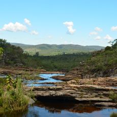
Serra Negra State Park
69.1 km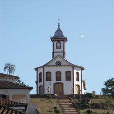
Saint Rita of Cascia church
23.4 km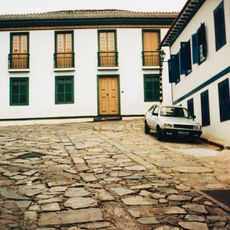
House of Chica da Silva
31.2 km
Baron of Serro's house
23 km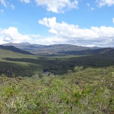
Rio Preto State Park
25.7 km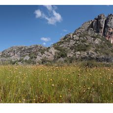
Espinhaço Mosaic
24.9 km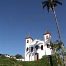
Church of Our Lady of Mount Carmel
23.3 km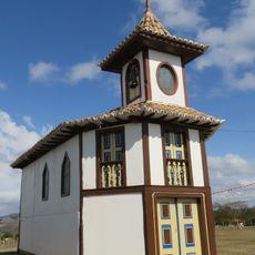
Chapel of Our Lady of the Rosary
23.3 km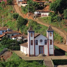
Church of Bom Jesus de Matosinhos
22.7 km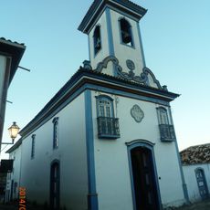
Church of Our Lady of Protection
31.3 km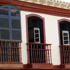
Casa Muxarabi
31.3 km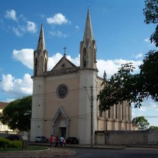
Basílica do Sagrado Coração de Jesus
31.5 km
Casa do General Carneiro
23 km
Igreja do Senhor do Bonfim
31.2 km
Church of Our Lady of Mercy
31.3 km
Museu do Diamante
31.4 km
Mercado Municipal de Diamantina
31.3 km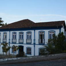
Casa à Praça Juscelino Kubitschek
31.5 km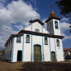
Church of Our Lady of the Rosary
31 km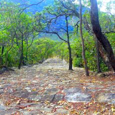
Road of the Slaves
33.8 kmAvis
Vous avez visité ce lieu ? Touchez les étoiles pour le noter et partager votre expérience ou vos photos avec la communauté ! Essayez maintenant ! Vous pouvez annuler à tout moment.
Trouvez des trésors cachés à chaque coin de rue !
Des petits cafés pittoresques aux points de vue planqués, fuyez la foule et dénichez les lieux qui vous ressemblent vraiment. Notre app vous facilite la vie : recherche vocale, filtres malins, itinéraires optimisés et bons plans partagés par des voyageurs du monde entier. Téléchargez vite pour vivre l'aventure en version mobile !

Une approche inédite de la découverte touristique❞
— Le Figaro
Tous les lieux qui valent la peine d'être explorés❞
— France Info
Une excursion sur mesure en quelques clics❞
— 20 Minutes