
Třeboňsko - střed, special area of conservation in the Czech Republic
Emplacement : Chlum u Třeboně
Coordonnées GPS : 48.97898,14.87512
Dernière mise à jour : 17 mars 2025 à 19:31
Landschaftsschutzpark Wittingauer Becken
2.2 km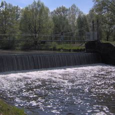
Jez Pilař
3.6 km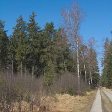
Soví les
4.3 km
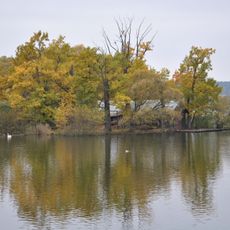
Staré jezero
1 km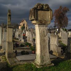
Stations of the cross (Lutová)
2.8 km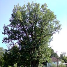
Dub u Zájezku
4.1 km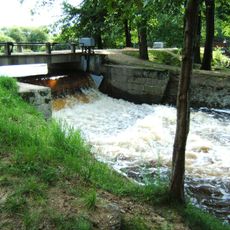
Lávka nad jezem Rozvodí
2.1 km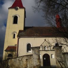
All Saints Church (Lutová)
2.8 km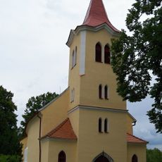
Church of Saint Mary Magdalene
1.7 km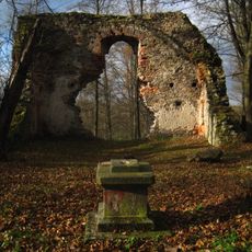
Ruined church of the Birth of Virgin Mary
2.7 km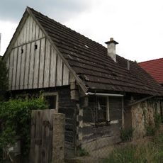
Usedlost čp. 9
4.3 km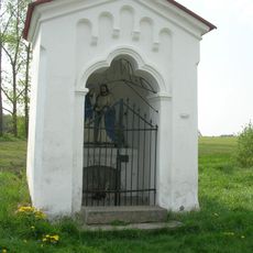
Kaple Loučení Panny Marie
3 km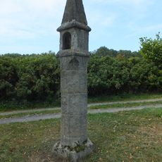
Wayside shrine in Žíteč
4 km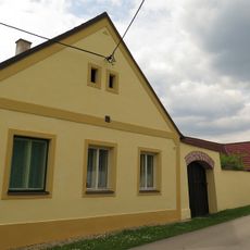
Lutová 36
2.6 km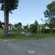
Kříž
3.7 km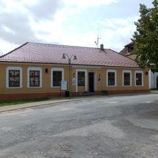
Chlum u Třeboně 115
4.4 km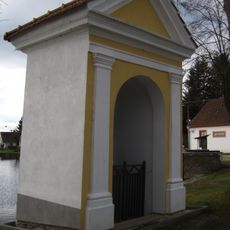
Chapel of Saint John of Nepomuk
2.9 km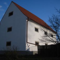
Granary
2.9 km
Sýpka
3.7 km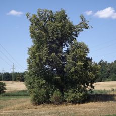
Lípa u Planinského rybníka
3.3 km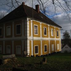
Rectory
2.8 km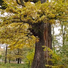
Majdalenský dub
3.1 km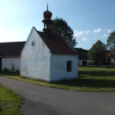
Chapel of the Assumption of the Virgin Mary
3.8 km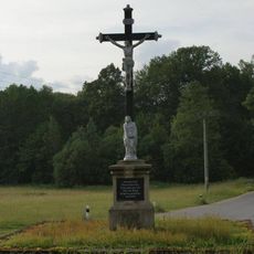
Boží muka na západním okraji obce u silnice na Majdalenu
4 km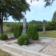
World War I memorial in Žíteč
4 km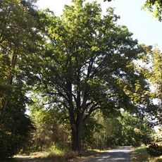
Dub na rozcestí
3.3 km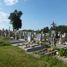
Hřbitov Chlum u Třeboně
2.8 km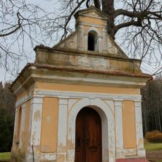
Chapel of Saint Barbara
4.3 kmVous avez visité ce lieu ? Touchez les étoiles pour le noter et partager votre expérience ou vos photos avec la communauté ! Essayez maintenant ! Vous pouvez annuler à tout moment.
Trouvez des trésors cachés à chaque coin de rue !
Des petits cafés pittoresques aux points de vue planqués, fuyez la foule et dénichez les lieux qui vous ressemblent vraiment. Notre app vous facilite la vie : recherche vocale, filtres malins, itinéraires optimisés et bons plans partagés par des voyageurs du monde entier. Téléchargez vite pour vivre l'aventure en version mobile !

Une approche inédite de la découverte touristique❞
— Le Figaro
Tous les lieux qui valent la peine d'être explorés❞
— France Info
Une excursion sur mesure en quelques clics❞
— 20 Minutes