
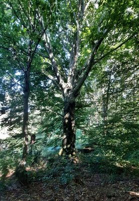
Buk u Opatovické obory, memorable tree in Kolín District, Czech Republic
Emplacement : Červené Pečky
Emplacement : Opatovice
Hauteur : 31 m
Coordonnées GPS : 49.96539,15.19581
Dernière mise à jour : 5 mars 2025 à 11:19
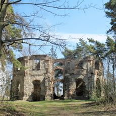
Luftschloss Belveder with the Chapel of St. John the Baptist
2.6 km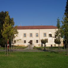
Suchdol
2.5 km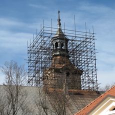
Červené Pečky Castle
1.7 km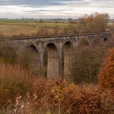
Railway viaduct between Červené Pečky and Ratboř
2.4 km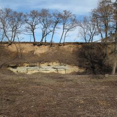
Lom u Červených Peček
2.5 km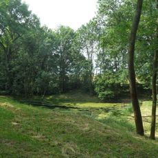
Rybníček u Hořan
2.6 km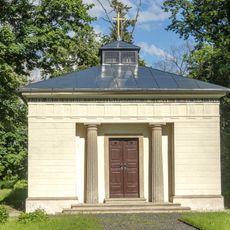
Hrubý-Gelenj Vault in Červené Pečky
2.4 km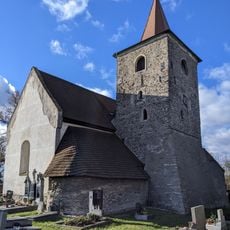
Church of the Visitation of Our Lady
2.8 km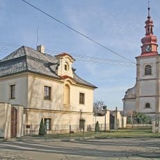
Church of Saint Margaret in Suchdol
2.4 km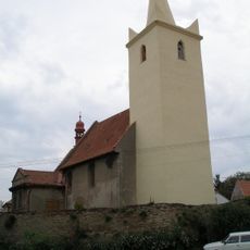
Church of the Nativity of the Virgin Mary
1.5 km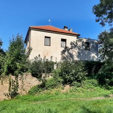
Lovecký zámeček Opatovice
69 m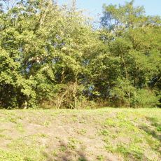
Bořetice
2.5 km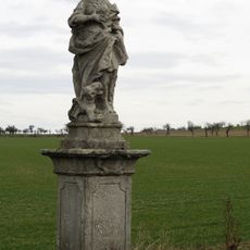
Socha svaté Markéty
1.8 km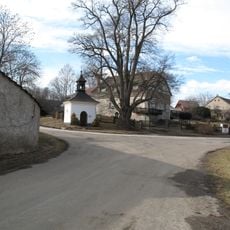
Chapel of Saint John of Nepomuk
2 km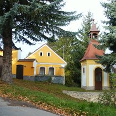
Chapel of Virgin Mary in Hořany
2.9 km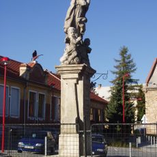
Sousoší Panny Marie s andílky
1.8 km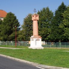
Boží muka
2.1 km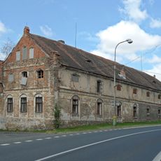
Miskovice No. 1
2.2 km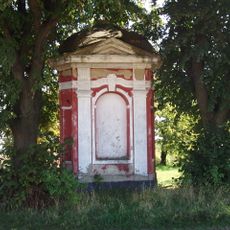
Trojboká výklenková kaplička
1.9 km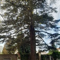
Cedr v Ratboři
2.8 km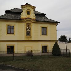
Usedlost čp. 2
2.4 km
Lípa malolistá
2 km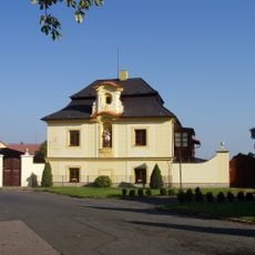
Fara
2.4 km
Buk u kaple sv. Jana Křtitele
2.6 km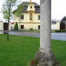
Pranýř ve středu obce Suchdol
2.5 km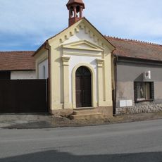
Chapel of Holy Trinity
726 m
Kaple svatého Jana Křtitele ve Vysoké
2.6 km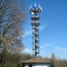
Vysoká observation tower
2.6 kmAvis
Vous avez visité ce lieu ? Touchez les étoiles pour le noter et partager votre expérience ou vos photos avec la communauté ! Essayez maintenant ! Vous pouvez annuler à tout moment.
Trouvez des trésors cachés à chaque coin de rue !
Des petits cafés pittoresques aux points de vue planqués, fuyez la foule et dénichez les lieux qui vous ressemblent vraiment. Notre app vous facilite la vie : recherche vocale, filtres malins, itinéraires optimisés et bons plans partagés par des voyageurs du monde entier. Téléchargez vite pour vivre l'aventure en version mobile !

Une approche inédite de la découverte touristique❞
— Le Figaro
Tous les lieux qui valent la peine d'être explorés❞
— France Info
Une excursion sur mesure en quelques clics❞
— 20 Minutes