
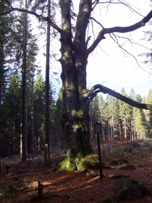
Buk lesní, memorable tree in Prachatice District, Czech Republic
Emplacement : Borová Lada
Hauteur : 28 m
Coordonnées GPS : 49.00284,13.69252
Dernière mise à jour : 4 avril 2025 à 13:14
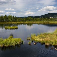
Chalupská slať
2.5 km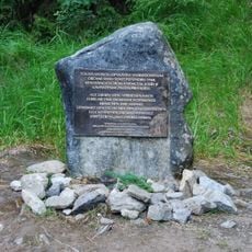
Monument to the Kings of Šumava
5.1 km
Beer pot
4.9 km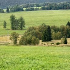
Pasecká slať
4.5 km
Tetřeví studánka
5.2 km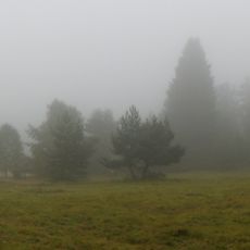
Radost
5.3 km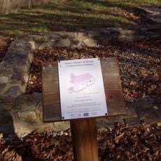
Church of Saint Martin
1.7 km
Gold placer claim in Lipka
3 km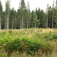
Najmanka
5.1 km
Pravětínská Lada
2.3 km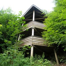
Rozhledna Vyhlídka
3.5 km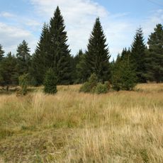
Pod Šindlovem
3.1 km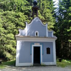
Chapel of Saint Anne
2.5 km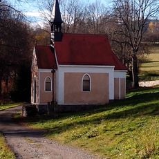
Chapel of Saint Anne (Stará Lipka)
3.8 km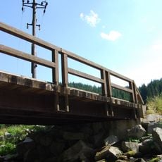
Most cesty k pomníku Králům Šumavy přes Teplou Vltavu
5 km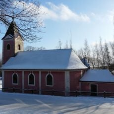
Church of the Sacred Heart (Nové Hutě)
5.2 km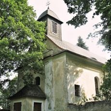
Church of the Finding of the True Cross
5.7 km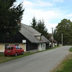
Dům čp. 11
1.9 km
Novohuťský modřín
5.1 km
Tis červený
3.5 km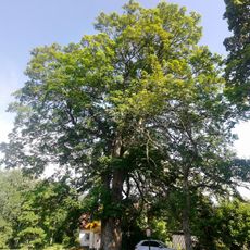
Novohuťský klen
5.2 km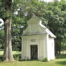
Chapel of Holy Trinity in Korkusova Huť
5.5 km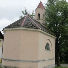
Chapel of the Exaltation of the Holy Cross
5.8 km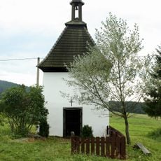
Chapel of Saint Anne
3.1 km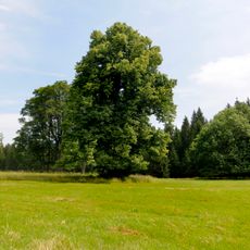
Lípa velkolistá
277 m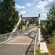
Footbridge over the Teplá Vltava in Borová Lada
2.7 km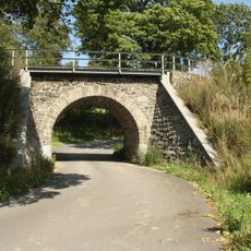
Železniční most přes silnici III1673 v Lipce
3.3 km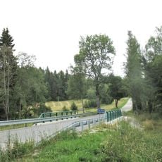
Most silnice III/1673 přes Volyňku v Lipce
3.1 kmAvis
Vous avez visité ce lieu ? Touchez les étoiles pour le noter et partager votre expérience ou vos photos avec la communauté ! Essayez maintenant ! Vous pouvez annuler à tout moment.
Trouvez des trésors cachés à chaque coin de rue !
Des petits cafés pittoresques aux points de vue planqués, fuyez la foule et dénichez les lieux qui vous ressemblent vraiment. Notre app vous facilite la vie : recherche vocale, filtres malins, itinéraires optimisés et bons plans partagés par des voyageurs du monde entier. Téléchargez vite pour vivre l'aventure en version mobile !

Une approche inédite de la découverte touristique❞
— Le Figaro
Tous les lieux qui valent la peine d'être explorés❞
— France Info
Une excursion sur mesure en quelques clics❞
— 20 Minutes