
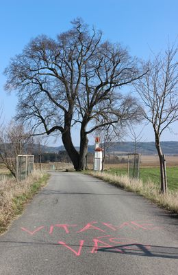
Cehnické lípy, group of memorable trees in Strakonice District, Czech Republic
Emplacement : Cehnice
Coordonnées GPS : 49.22222,14.00326
Dernière mise à jour : 23 mars 2025 à 18:50
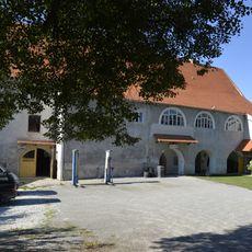
Stronghold Cehnice
2.3 km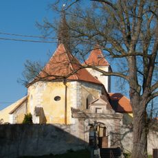
Church of the Assumption (Jinín)
1.7 km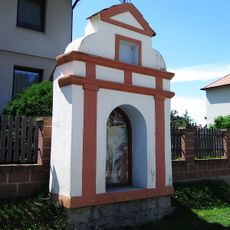
Boží muka
3.6 km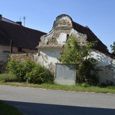
Granary at the house No. 104 in Cehnice
2 km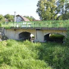
Road bridge 22-041 in Cehnice
2.1 km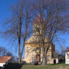
Church of Saints Peter and Paul
2.5 km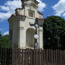
Kaplička
3.2 km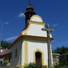
Kaplička
3.3 km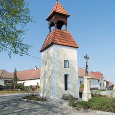
Zvonička
3.5 km
Chapel-shrine of Virgin Mary in Kváskovice
3.6 km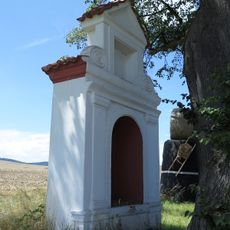
Boží muka
4 m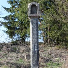
Boží muka u Jinína
2.3 km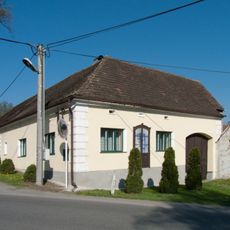
Fara
1.7 km
Chapel of Saint John of Nepomuk
3.5 km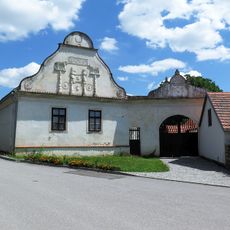
Bývalá hospoda
3.2 km
Manor house
3.7 km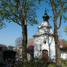
Chapel of Saint John the Baptist
2 km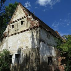
Sýpka
3.3 km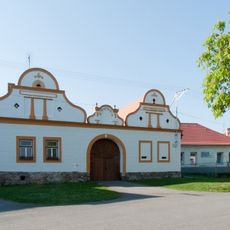
Usedlost čp. 35
1.6 km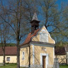
Chapel of Saint John of Nepomuk
3.3 km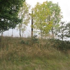
Kříž severovýchodně od Jinína
894 m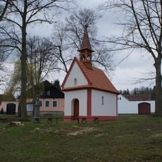
Chapel of Saint John the Baptist
3.6 km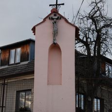
Kaplička v severní části vsi
3.4 km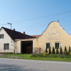
Usedlost čp. 3
3.5 km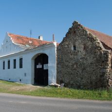
Usedlost čp. 14
1.5 km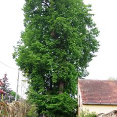
Paračovská lípa
2.4 km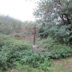
Kříž severně od Cehnic u rybníků
834 m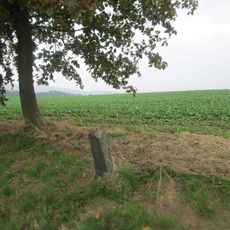
Kříž severozápadně od Cehnic u rozcestí
577 mVous avez visité ce lieu ? Touchez les étoiles pour le noter et partager votre expérience ou vos photos avec la communauté ! Essayez maintenant ! Vous pouvez annuler à tout moment.
Trouvez des trésors cachés à chaque coin de rue !
Des petits cafés pittoresques aux points de vue planqués, fuyez la foule et dénichez les lieux qui vous ressemblent vraiment. Notre app vous facilite la vie : recherche vocale, filtres malins, itinéraires optimisés et bons plans partagés par des voyageurs du monde entier. Téléchargez vite pour vivre l'aventure en version mobile !

Une approche inédite de la découverte touristique❞
— Le Figaro
Tous les lieux qui valent la peine d'être explorés❞
— France Info
Une excursion sur mesure en quelques clics❞
— 20 Minutes