
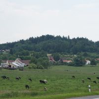
Cehnice, commune tchèque
Emplacement : Strakonice District
Emplacement : SO ORP Strakonice
Altitude : 432 m
Partage une frontière avec : Paračov, Třešovice, Radějovice, Drahonice, Jinín, Čejetice, Bílsko
E-mail : oucehnice@sendme.cz
Site web : http://cehnice.cz
Coordonnées GPS : 49.21515,14.02941
Dernière mise à jour : 17 mars 2025 à 16:47
Stronghold Cehnice
228 m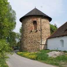
Stronghold Drahonice
3.6 km
Míchov
2.7 km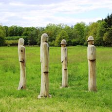
Husitští bojovníci
3.5 km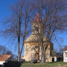
Church of Saints Peter and Paul
3 km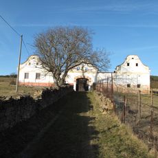
Usedlost čp. 12
3.1 km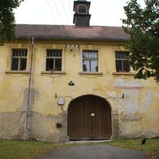
Drahonice Castle
3.6 km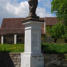
Socha svatého Václava
3.6 km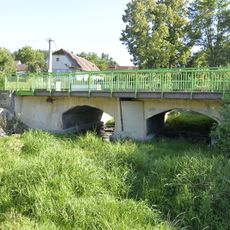
Road bridge 22-041 in Cehnice
58 m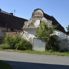
Granary at the house No. 104 in Cehnice
320 m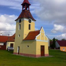
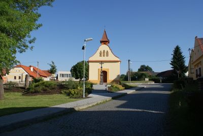
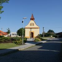
Chapel of the Visitation
3.7 km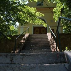
Chapel of Saint John of Nepomuk
2.1 km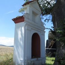
Boží muka
2.1 km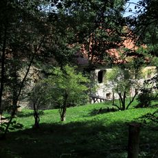
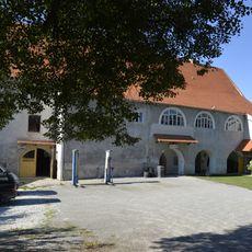
Manor house
2.2 km
Column shrine between Kváskovice and Radějovice
3.2 km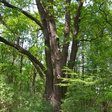
Dub Břeňka Švihovského
2.9 km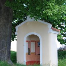
Chapel of Saint John of Nepomuk
3.7 km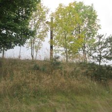
Kříž severovýchodně od Jinína
2.8 km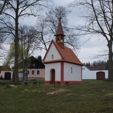
Chapel of Saint John the Baptist
1.7 km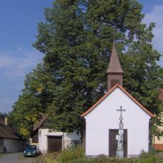
Chapel of Virgin Mary
3.2 km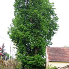
Paračovská lípa
3 km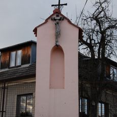
Kaplička v severní části vsi
2.2 km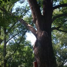
Mladějovický dub
2.7 km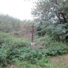
Kříž severně od Cehnic u rybníků
1.5 km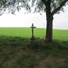
Kříž západně od Drahonic
3.2 km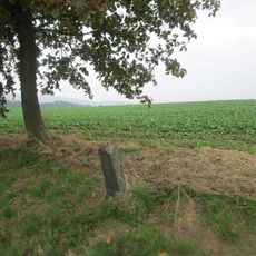
Kříž severozápadně od Cehnic u rozcestí
2.1 km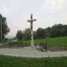
Kříž u silnice I/22 nedaleko Cehnice
474 m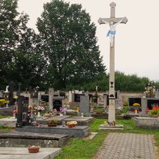
Hřbitov Paračov
2.8 kmVous avez visité ce lieu ? Touchez les étoiles pour le noter et partager votre expérience ou vos photos avec la communauté ! Essayez maintenant ! Vous pouvez annuler à tout moment.
Trouvez des trésors cachés à chaque coin de rue !
Des petits cafés pittoresques aux points de vue planqués, fuyez la foule et dénichez les lieux qui vous ressemblent vraiment. Notre app vous facilite la vie : recherche vocale, filtres malins, itinéraires optimisés et bons plans partagés par des voyageurs du monde entier. Téléchargez vite pour vivre l'aventure en version mobile !

Une approche inédite de la découverte touristique❞
— Le Figaro
Tous les lieux qui valent la peine d'être explorés❞
— France Info
Une excursion sur mesure en quelques clics❞
— 20 Minutes