
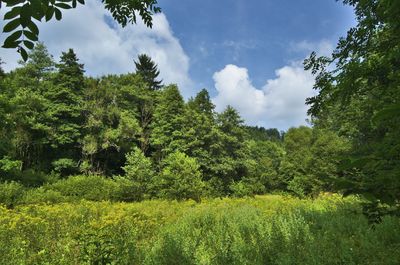
Pod Švancarkou, protected area in Czech Republic
Emplacement : Horní Štěpánov
Création : 1 novembre 1990
Coordonnées GPS : 49.54333,16.74222
Dernière mise à jour : 11 mars 2025 à 03:46
Church of the Annunciation of the Virgin Mary in Vážany
4.3 km
Pavlovské mokřady
4.5 km
Řehořkovo Kořenecko
2.4 km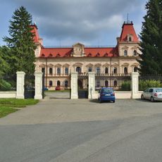
Castle Šebetov
2 km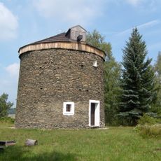
Windmill in Kořenec
1.9 km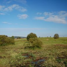
Uhliska
4 km
Horní Bělá
822 m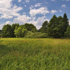
Pohorská louka
2.2 km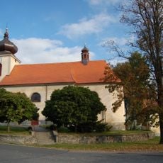
Church of Saint Lawrence
3.5 km
Saints Philip and James Church
4.3 km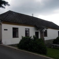
Museum Kořenec
1.7 km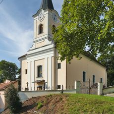
Saint Mark Church
3.5 km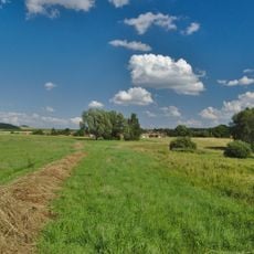
V chaloupkách
3.1 km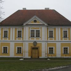
Rectory
4.2 km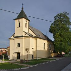
Church of the Exaltation of the Holy Cross
4.3 km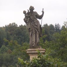
Socha svatého Josefa
2.8 km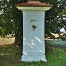
Boží muka
3.9 km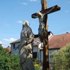
Socha Panny Marie Bolestné
2.1 km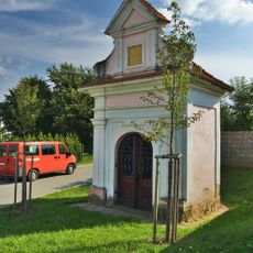
Chapel of Saint Florian
3.7 km
Pohorská lipová alej
1.9 km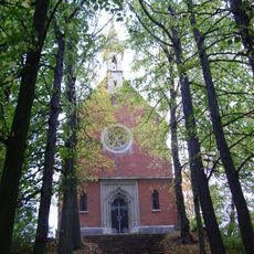
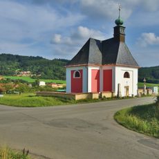
Chapel of Saint Anne
1.6 km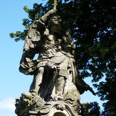
Sousoší svatého Jana Nepomuckého
2.1 km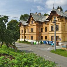
Měšťanský dům
2 km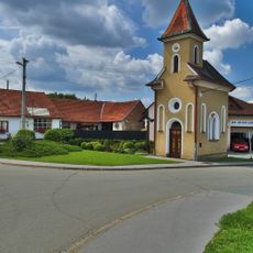
Chapel of the Assumption
5.6 km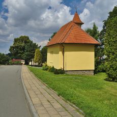
Chapel of Our Lady od Fatima
1.9 km
Chapel of Our Lady of Sorrows
4.6 km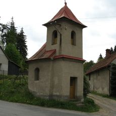
Kaple
4.6 km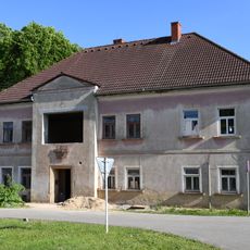
School building in Sudice
5.5 kmAvis
Vous avez visité ce lieu ? Touchez les étoiles pour le noter et partager votre expérience ou vos photos avec la communauté ! Essayez maintenant ! Vous pouvez annuler à tout moment.
Trouvez des trésors cachés à chaque coin de rue !
Des petits cafés pittoresques aux points de vue planqués, fuyez la foule et dénichez les lieux qui vous ressemblent vraiment. Notre app vous facilite la vie : recherche vocale, filtres malins, itinéraires optimisés et bons plans partagés par des voyageurs du monde entier. Téléchargez vite pour vivre l'aventure en version mobile !

Une approche inédite de la découverte touristique❞
— Le Figaro
Tous les lieux qui valent la peine d'être explorés❞
— France Info
Une excursion sur mesure en quelques clics❞
— 20 Minutes