
Hoštice, village of Nemyšl municipality in Tábor District of South Bohemian Region
Emplacement : Nemyšl
Altitude : 523 m
Coordonnées GPS : 49.52670,14.68420
Dernière mise à jour : 8 mars 2025 à 10:43
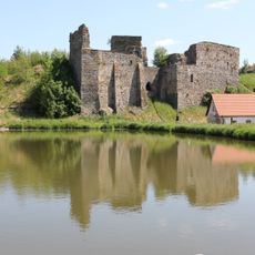
Starý Zámek
5 km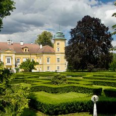
Chotoviny Castle
5.3 km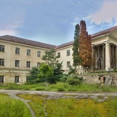
Nemyšl Castle
1.6 km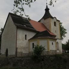
Church of Saint Catherine
4.9 km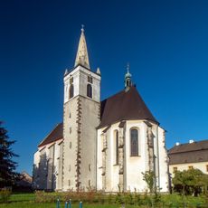
Church of the Nativity of the Virgin Mary
5.3 km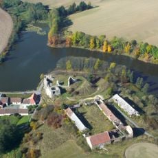
Dvůr Starý zámek
5 km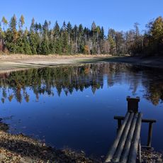
Suchdolský rybník
3.9 km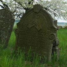
Jewish cemetery in Prudice
2 km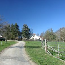
Kahlovická Lhota
4.6 km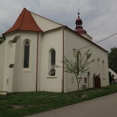
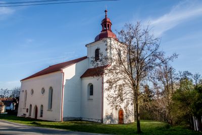
Church of the Immaculate Conception
80 m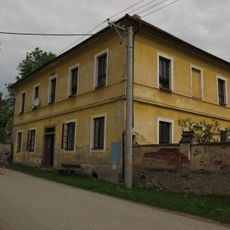
Bývalá fara
122 m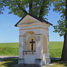
Výklenková kaplička
4 km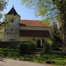
Church of Saint Gall in Střezimíř
5.3 km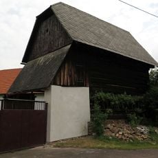
Špýchar usedlosti čp. 4
1.5 km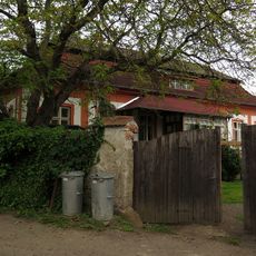
Usedlost - zámeček čp. 14
1.5 km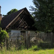
Usedlost čp. 12
5.3 km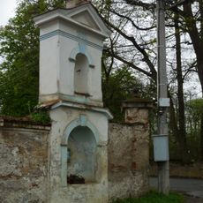
Výklenková kaplička se zvoničkou v ohradní zdi zámeckého pivovaru
1.6 km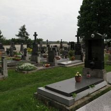
Hřbitov s kaplí
296 m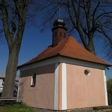
Chapel of Saint Adalbert
5.1 km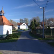
Chapel of Saint John of Nepomuk in Horní Střítež
3 km
Bridge of D3 highway near Moraveč
5.2 km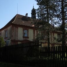
Střezimíř Castle
5.2 km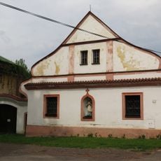
Fara
4.9 km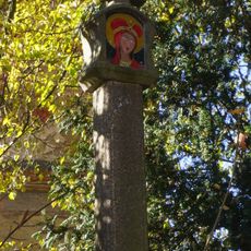
Boží muka - kamenný sloupek
2.8 km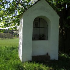
Chapel of Saint John of Nepomuk
5.3 km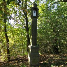
Boží muka
960 m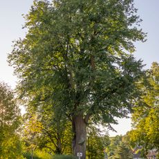
Lípa ve Střezimíři
5.3 km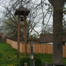
Zvonička v Prudicích
1.5 kmAvis
Vous avez visité ce lieu ? Touchez les étoiles pour le noter et partager votre expérience ou vos photos avec la communauté ! Essayez maintenant ! Vous pouvez annuler à tout moment.
Trouvez des trésors cachés à chaque coin de rue !
Des petits cafés pittoresques aux points de vue planqués, fuyez la foule et dénichez les lieux qui vous ressemblent vraiment. Notre app vous facilite la vie : recherche vocale, filtres malins, itinéraires optimisés et bons plans partagés par des voyageurs du monde entier. Téléchargez vite pour vivre l'aventure en version mobile !

Une approche inédite de la découverte touristique❞
— Le Figaro
Tous les lieux qui valent la peine d'être explorés❞
— France Info
Une excursion sur mesure en quelques clics❞
— 20 Minutes