
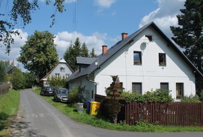
Volárna, village in Bruntál District of Moravian Silesian region
Emplacement : Roudno
Coordonnées GPS : 49.89080,17.48830
Dernière mise à jour : 27 mars 2025 à 22:01
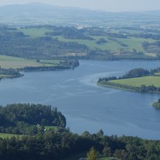
Slezská Harta Reservoir
2.8 km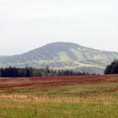
Nationales Naturdenkmal Alter Rautenberg
2.5 km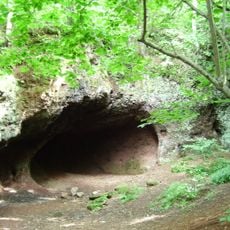
Venušina sopka
6.7 km
Slunečná
7.1 km
Lávový proud u Meziny
7.4 km
Lovecký zámeček Nové Valteřice
4.6 km
Malý Roudný
1.8 km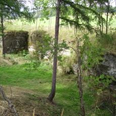
Razovské tufity
3.6 km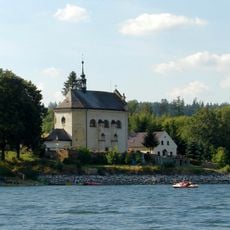
Church of Saint John of Nepomuk
4.1 km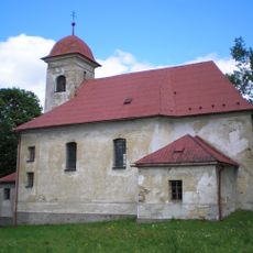
Church of the Assumption of the Virgin Mary
5.6 km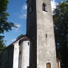
Church of Saint George in Lomnice
5.4 km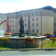
Kašna se sochou Neptuna
7.7 km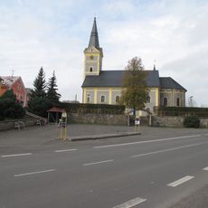
Church of Saint Giles (Dvorce)
7.6 km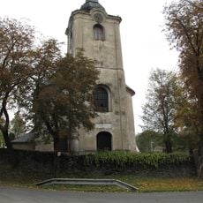
Kostel svaté Markéty
5.9 km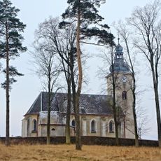
Church of Saint Michael in Razová
5.6 km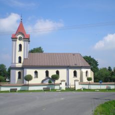
Church of Saint Michael
1.9 km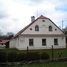
Dům čp. 27
5.1 km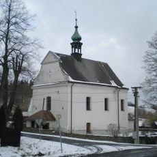
Church of Holy Trinity
7.5 km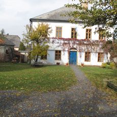
Fara
7.6 km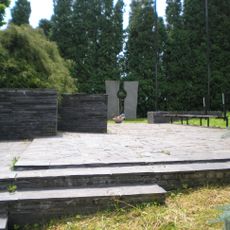
Společný hrob a památník rudoarmějců
5.4 km
School in Májůvka
6.4 km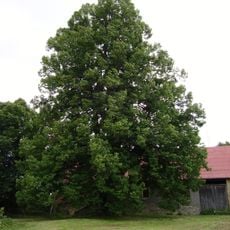
Lípa u Kohoutů
6.7 km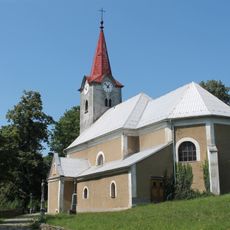
Church of Saint Lawrence
6.1 km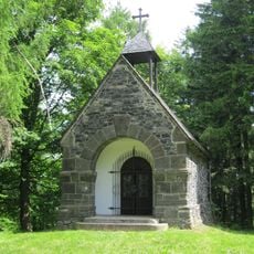
Chapel of Saints Peter and Paul at Velký Roudný
2.5 km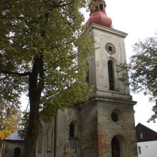
Church of the Visitation of the Virgin Mary in Křišťanovice
4.6 km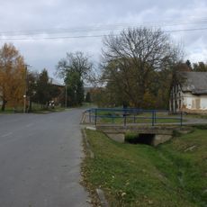
Most místní komunikace k čp. 25 přes Křišťanovický potok v Křišťanovicích
5.2 km
Křišťanovický jasan
5.1 km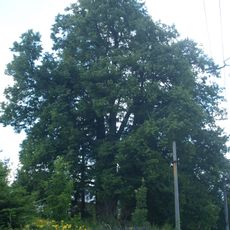
Lomnická lípa
5.9 kmVous avez visité ce lieu ? Touchez les étoiles pour le noter et partager votre expérience ou vos photos avec la communauté ! Essayez maintenant ! Vous pouvez annuler à tout moment.
Trouvez des trésors cachés à chaque coin de rue !
Des petits cafés pittoresques aux points de vue planqués, fuyez la foule et dénichez les lieux qui vous ressemblent vraiment. Notre app vous facilite la vie : recherche vocale, filtres malins, itinéraires optimisés et bons plans partagés par des voyageurs du monde entier. Téléchargez vite pour vivre l'aventure en version mobile !

Une approche inédite de la découverte touristique❞
— Le Figaro
Tous les lieux qui valent la peine d'être explorés❞
— France Info
Une excursion sur mesure en quelques clics❞
— 20 Minutes