
Bartošovický luh, protected area in Czech Republic
Emplacement : Bartošovice
Création : 23 janvier 2003
Coordonnées GPS : 49.67210,18.01620
Dernière mise à jour : 10 mars 2025 à 05:09
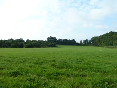
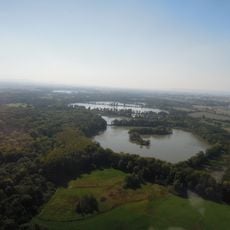
Poodří Protected Landscape Area
4.4 km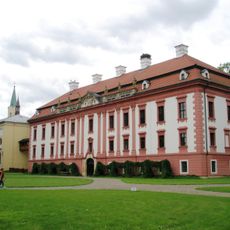
Kunin Castle
3.8 km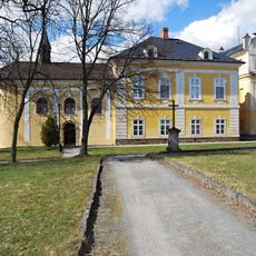
Castle in Nová Horka
4.5 km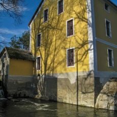
Bartošovice mill
2.4 km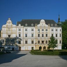
Castle in Bartošovice
2.5 km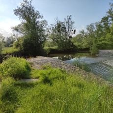
Jez v Bartošovicích
2.3 km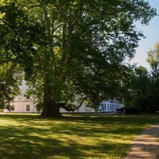
Bartošovický platan
2.5 km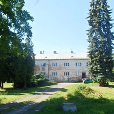
Hukovice
2.4 km
Pusté nivy
1.6 km
Hladké Životice
2.3 km
Pustějov Castle
3.6 km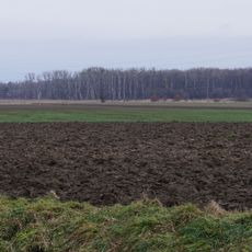
Koryta
3.6 km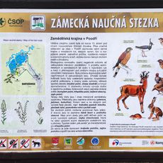
Zámecká Educational Trail
2.3 km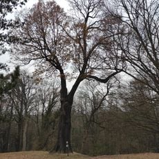
Dub v zámeckém parku
4.6 km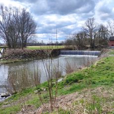
Weir Studénka
4.8 km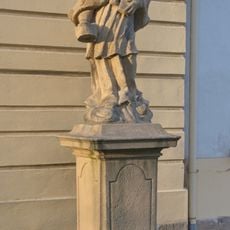
Statue of John of Nepomuk nearby the church in Kunín
3.8 km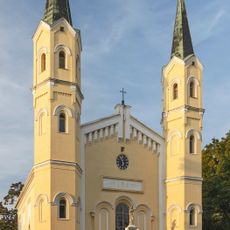
Church of Exaltation of the Holy Cross
3.8 km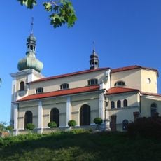
Church of Saint Andrew and Saints Peter and Paul
2.6 km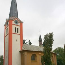
Church of Saint Nicholas
4.3 km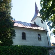
Church of the Visitation of the Virgin Mary
2.5 km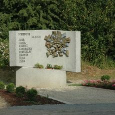
2008 Studénka train disaster memorial
4.5 km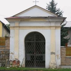
Chapel of Saint Anthony of Padua
2.6 km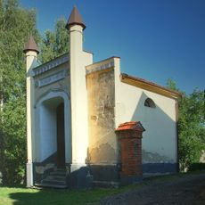
Hrobka rodiny Meinertů
2.6 km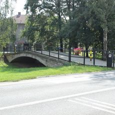
Most přátelství Leimen - Kunín
3.9 km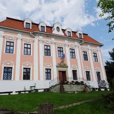
Fara
2.7 km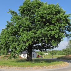
Oak near Kunín
4.7 km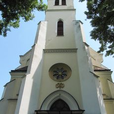
Church of Saint Mary Magdalene
3 km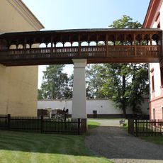
Covered bridge to the Church of Exaltation of the Holy Cross in Kunín Castle
3.8 kmAvis
Vous avez visité ce lieu ? Touchez les étoiles pour le noter et partager votre expérience ou vos photos avec la communauté ! Essayez maintenant ! Vous pouvez annuler à tout moment.
Trouvez des trésors cachés à chaque coin de rue !
Des petits cafés pittoresques aux points de vue planqués, fuyez la foule et dénichez les lieux qui vous ressemblent vraiment. Notre app vous facilite la vie : recherche vocale, filtres malins, itinéraires optimisés et bons plans partagés par des voyageurs du monde entier. Téléchargez vite pour vivre l'aventure en version mobile !

Une approche inédite de la découverte touristique❞
— Le Figaro
Tous les lieux qui valent la peine d'être explorés❞
— France Info
Une excursion sur mesure en quelques clics❞
— 20 Minutes