
Věteřov, commune tchèque
Emplacement : Кыйов
Emplacement : Hodonín District
Altitude : 264 m
Partage une frontière avec : Strážovice, Sobůlky, Nechvalín, Ostrovánky, Dražůvky, Lovčice
E-mail : ou.veterov@worldonline.cz
Site web : http://veterov.eu
Coordonnées GPS : 49.02854,17.05615
Dernière mise à jour : 21 mars 2025 à 19:44
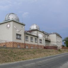
Ždánice Observatory
4.4 km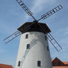
Windmill in Bukovany
2.9 km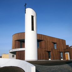
Chapel of Ioannes Paulus II in Bukovany
3.6 km
Church of the Assumption of the Virgin Mary (Ždánice, Hodonín District)
4.8 km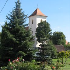
Church of Saint James the Greater (Želetice)
3.9 km
Church of Saints Cyril and Methodius
371 m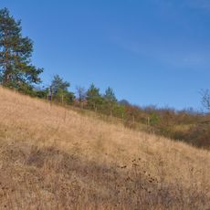
Sovince
4 km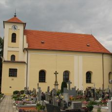
Church of Saints Roch and Sebastian
3.9 km
Church of Saints Peter and Paul
4.2 km
Socha svatého Jana Nepomuckého
2.7 km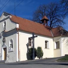
Chapel of Holy Trinity
2.2 km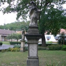
Socha svatého Jana Nepomuckého
1.9 km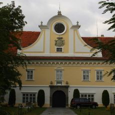
Ždánice Castle
4.6 km
Chapel of Saint John of Nepomuk
4.2 km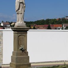
Socha svatého Jana Nepomuckého
3.6 km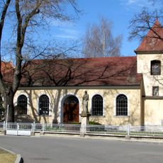
Chapel of Sacred Heart of Mary
1.9 km
Varhany v kostele svatých Petra a Pavla v Lovčicích
4.2 km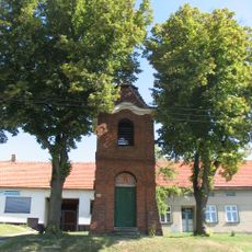
Zvonice
4.3 km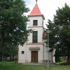
Chapel of Saint Wenceslaus
2.5 km
Zámek Strážovice
2.3 km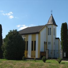
Chapel of Assumption
4.6 km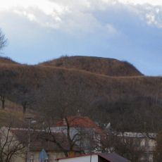
Tvrz
3 km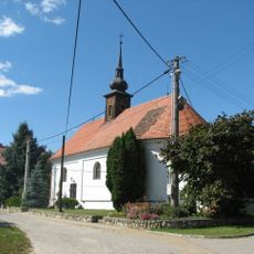
Chapel of Saint Florian
3.4 km
Chapel of Saint Catherine
3.3 km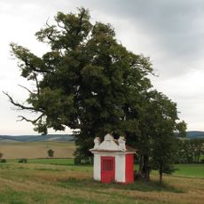
Kaplička
694 m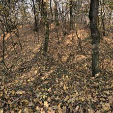
Hradiště Vala
1.4 km
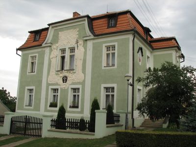
Fara Věteřov
393 m
Na Adamcích
4.8 kmVous avez visité ce lieu ? Touchez les étoiles pour le noter et partager votre expérience ou vos photos avec la communauté ! Essayez maintenant ! Vous pouvez annuler à tout moment.
Trouvez des trésors cachés à chaque coin de rue !
Des petits cafés pittoresques aux points de vue planqués, fuyez la foule et dénichez les lieux qui vous ressemblent vraiment. Notre app vous facilite la vie : recherche vocale, filtres malins, itinéraires optimisés et bons plans partagés par des voyageurs du monde entier. Téléchargez vite pour vivre l'aventure en version mobile !

Une approche inédite de la découverte touristique❞
— Le Figaro
Tous les lieux qui valent la peine d'être explorés❞
— France Info
Une excursion sur mesure en quelques clics❞
— 20 Minutes