
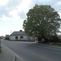
Kbel, commune tchèque
Emplacement : Kolín District
Emplacement : administrative district Kolín
Altitude : 314 m
Partage une frontière avec : Kolín, Pašinka, Ratboř, Radovesnice I, Lošany, Kořenice
E-mail : obec.kbel@volny.cz
Site web : http://ou-kbel.cz
Coordonnées GPS : 49.98828,15.14360
Dernière mise à jour : 8 mars 2025 à 03:23
Memorial of the Three Resistances
1.9 km
Kolín – letiště
2.7 km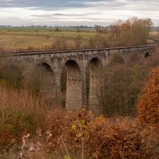
Railway viaduct between Červené Pečky and Ratboř
3.1 km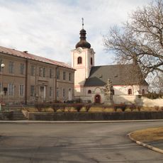
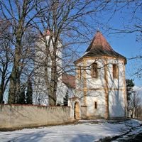
Kostel svatého Václava
1.5 km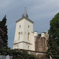
Church of Saint Martin
1.8 km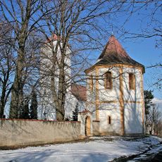
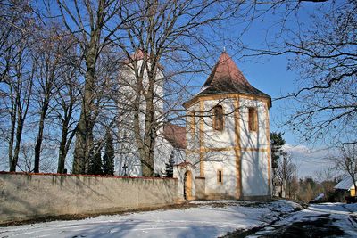
Church of the Assumption
167 m
Bořetice
2.2 km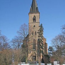
Church of Saint George
1.6 km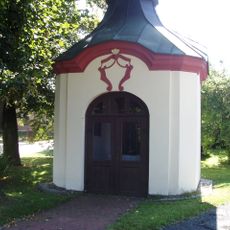
Chapel of Saint John of Nepomuk (Lošánky)
1.4 km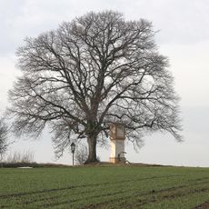
Lípa u Pašinky
3.2 km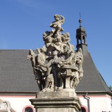
Statue of John of Nepomuk in Ratboř
1.6 km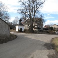
Chapel of Saint John of Nepomuk
3 km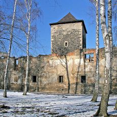
Tvrz Lošany
1.8 km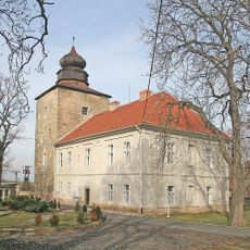
Pašinka
3.3 km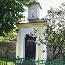
Kaplička v Kořenicích
1.3 km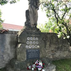
Památník obětem světových válek v Kořenicích
1.3 km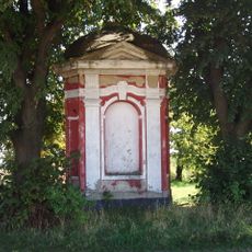
Trojboká výklenková kaplička
3.3 km
Boží muka
2 km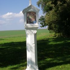
Boží muka
2.1 km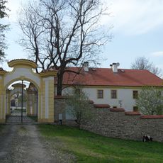
Radovesnice Castle
2.3 km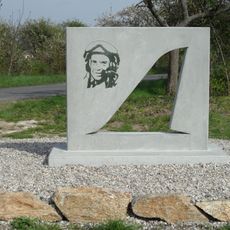
Pomník leteckého neštěstí - Ondřej Sovina
2.7 km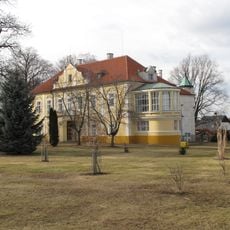
Zámek Ratboř
1.5 km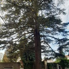
Cedr v Ratboři
1.7 km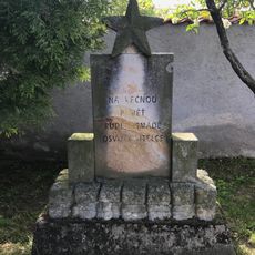
Památník Rudé armády v Kořenicích
1.3 km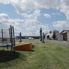
Kolín - letiště
2.7 km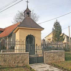
Chapel of Saint John of Nepomuk
3.1 km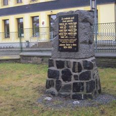
Pomník padlým ve středu obce Ratboř
1.6 km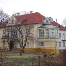
Starý zámek Ratboř
1.5 kmAvis
Vous avez visité ce lieu ? Touchez les étoiles pour le noter et partager votre expérience ou vos photos avec la communauté ! Essayez maintenant ! Vous pouvez annuler à tout moment.
Trouvez des trésors cachés à chaque coin de rue !
Des petits cafés pittoresques aux points de vue planqués, fuyez la foule et dénichez les lieux qui vous ressemblent vraiment. Notre app vous facilite la vie : recherche vocale, filtres malins, itinéraires optimisés et bons plans partagés par des voyageurs du monde entier. Téléchargez vite pour vivre l'aventure en version mobile !

Une approche inédite de la découverte touristique❞
— Le Figaro
Tous les lieux qui valent la peine d'être explorés❞
— France Info
Une excursion sur mesure en quelques clics❞
— 20 Minutes