
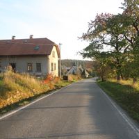
Kramolna, commune tchèque
Emplacement : Náchod District
Emplacement : správní obvod obce s rozšířenou působností Náchod
Altitude : 457 m
Partage une frontière avec : Zábrodí, Studnice, Vysokov, Dolní Radechová, Červený Kostelec, Náchod
E-mail : ou.kramolna@tiscali.cz
Site web : http://kramolna.cz
Coordonnées GPS : 50.42073,16.13490
Dernière mise à jour : 13 avril 2025 à 16:31
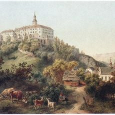
Náchod Castle
1.9 km
Pranýř
2 km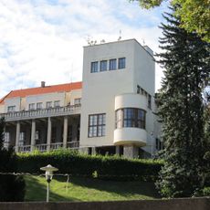
Bartoňova vila
1.8 km
Hotel U Beránka
2 km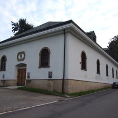
Gallery of Fine Arts in Náchod
1.8 km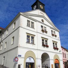
Old town hall in Náchod
2 km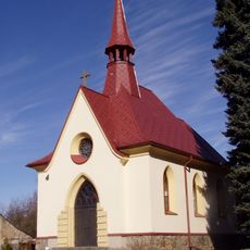
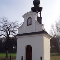
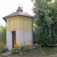
Chapel of the Divine Heart of Jesus
1.5 km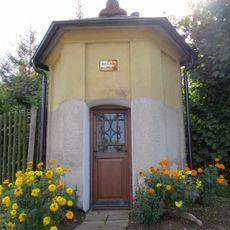
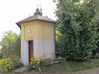
Chapel of Saint Mary
201 m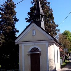
Chapel of the Holy Name of Virgin Mary
180 m
Chapel of Holy Trinity
1.8 km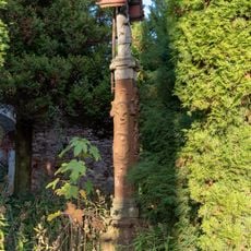
Statue in Horní Rybníky
3.7 km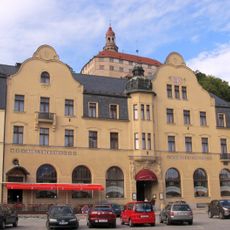
Městské divadlo Dr. Josefa Čížka Náchod
2 km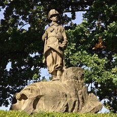
Pomník z války 1866 - myslivec
1.4 km
Piccolomini garden at Náchod castle
1.9 km
Sokol house in Náchod
1.9 km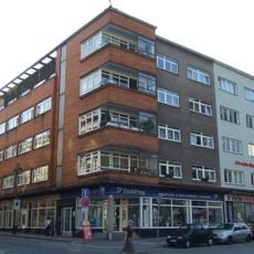
Tyršova 65
2 km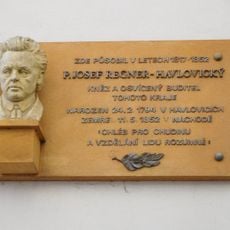
Josef Regner memorial plaque
2 km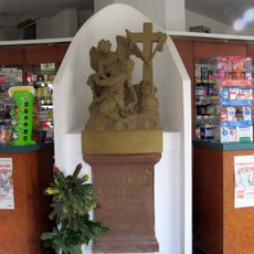
Sousoší Panny Marie Bolestné
2 km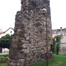
City walls of Náchod
2 km
Záložna v Náchodě
1.9 km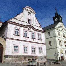
Děkanství Náchod
2 km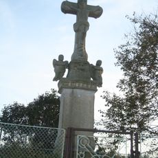
Kříž v Trubějově
2.1 km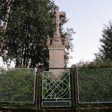
Krucifix
2.1 km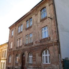
Zámecká 240
1.9 km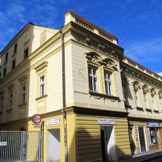
Tyršova 63
2 km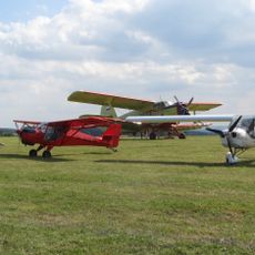
Náchod Airport
1.3 km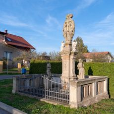
Statue of the Holy Trinity in Horní Rybníky
3.6 km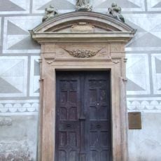
Chapel of the Assumption at Náchod Castle
1.9 kmAvis
Vous avez visité ce lieu ? Touchez les étoiles pour le noter et partager votre expérience ou vos photos avec la communauté ! Essayez maintenant ! Vous pouvez annuler à tout moment.
Trouvez des trésors cachés à chaque coin de rue !
Des petits cafés pittoresques aux points de vue planqués, fuyez la foule et dénichez les lieux qui vous ressemblent vraiment. Notre app vous facilite la vie : recherche vocale, filtres malins, itinéraires optimisés et bons plans partagés par des voyageurs du monde entier. Téléchargez vite pour vivre l'aventure en version mobile !

Une approche inédite de la découverte touristique❞
— Le Figaro
Tous les lieux qui valent la peine d'être explorés❞
— France Info
Une excursion sur mesure en quelques clics❞
— 20 Minutes