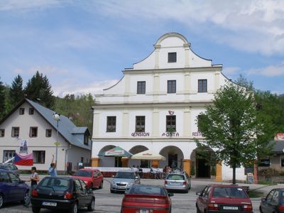
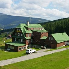
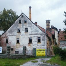
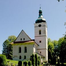
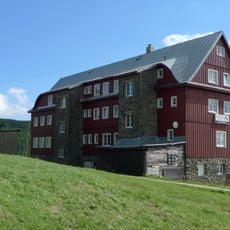
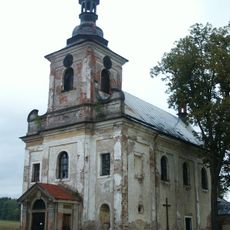
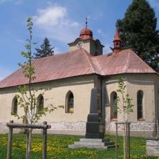
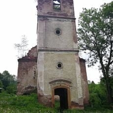
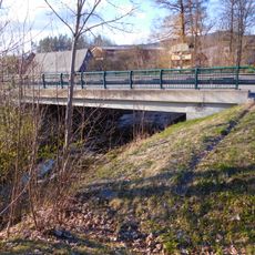
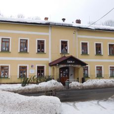
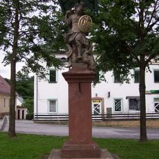
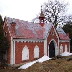
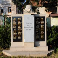
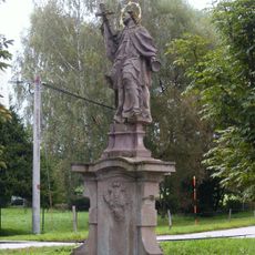
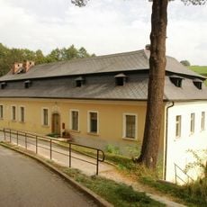
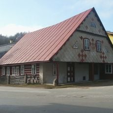
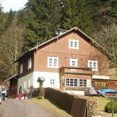
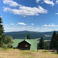
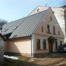
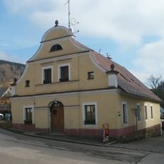
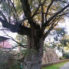
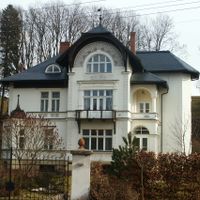
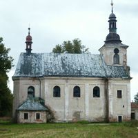
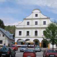
Černý Důl, commune tchèque
Emplacement : Trutnov District
Emplacement : Врхлаби
Altitude : 684 m
Partage une frontière avec : Lánov, Dolní Lánov, Dolní Dvůr, Strážné, Pec pod Sněžkou, Janské Lázně, Rudník, Prosečné
E-mail : info@cernydul.cz
Site web : http://cernydul.cz
Coordonnées GPS : 50.63500,15.71069
Dernière mise à jour : 3 mars 2025 à 06:48
Fořt Castle
4.4 km
Husova bouda
4.5 km
Rudník chateau/brewery
4.7 km
Church of Saint Wenceslaus
4.6 km
Pražská bouda
4.2 km
Church of Holy Trinity
3.8 km
Church of Saint Michael
114 m
Stations of the cross in Černý Důl
106 m
Ruins of protestant church in Rudník
3.7 km
Hotel Pošta
42 m
Bridge of I/14 road over the Čistá in Čistá
3 km
School building in Čistá
2.1 km
Hrob rudoarmějce
87 m
Socha svatého Jana Nepomuckého
4.6 km
Socha Archanděla Michaela
36 m
Cemetery chapel in Černý Důl
227 m
Hrob rudoarmějce
4.5 km
Sousoší Kalvárie
5.2 km
Relief with coats of arms of Hannibal Waldstein and Kateřina Berková z Dubé
4.6 km
World War I memorial in Rudník
4.7 km
Sloup se sochou svatého Jana Nepomuckého
4.3 km
Rectory in Rudník
4.6 km
Venkovský dům
59 m
Myslivna
1.8 km
Dům Vlčí Hrana
5.5 km
Venkovský dům
132 m
Městský dům
5 m
Vrba v Černém Dole
72 mVous avez visité ce lieu ? Touchez les étoiles pour le noter et partager votre expérience ou vos photos avec la communauté ! Essayez maintenant ! Vous pouvez annuler à tout moment.
Trouvez des trésors cachés à chaque coin de rue !
Des petits cafés pittoresques aux points de vue planqués, fuyez la foule et dénichez les lieux qui vous ressemblent vraiment. Notre app vous facilite la vie : recherche vocale, filtres malins, itinéraires optimisés et bons plans partagés par des voyageurs du monde entier. Téléchargez vite pour vivre l'aventure en version mobile !
Une approche inédite de la découverte touristique❞
— Le Figaro
Tous les lieux qui valent la peine d'être explorés❞
— France Info
Une excursion sur mesure en quelques clics❞
— 20 Minutes