
Stehlovice, commune tchèque
Emplacement : Písek District
Emplacement : správní obvod obce s rozšířenou působností Milevsko
Altitude : 491 m
Partage une frontière avec : Veselíčko, Jetětice, Křenovice, Květov, Branice
E-mail : obec@stehlovice.cz
Site web : http://stehlovice.cz
Coordonnées GPS : 49.39347,14.32291
Dernière mise à jour : 13 mars 2025 à 22:51
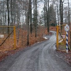
Rukávečská obora
3.1 km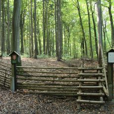
Rukávečská obora
2.9 km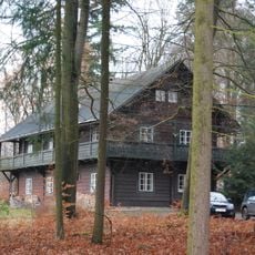
Tyrolský dům
3.2 km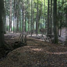
Mostek přes potok v Rukávečské oboře
2.9 km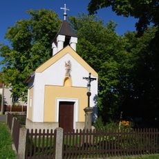
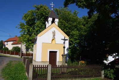
Chapel of Saint John of Nepomuk (Stehlovice)
28 m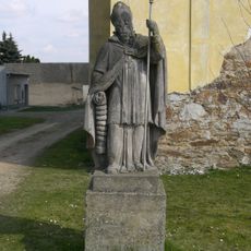
Socha svatého Erazma
2.4 km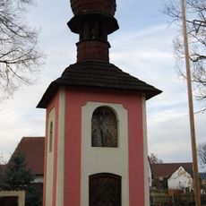
Chapel of Virgin Mary
3.9 km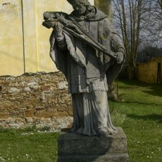
Socha svatého Jana Nepomuckého
2.4 km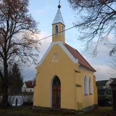
Chapel of the Visitation
3.3 km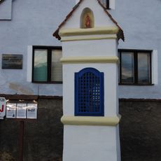
Chapel of Saint John of Nepomuk
3.1 km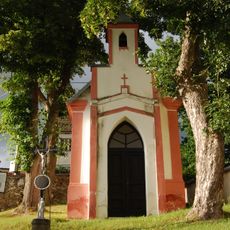
Chapel of Saint Adalbert
3.4 km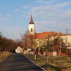
Church of Saint Anne
2.5 km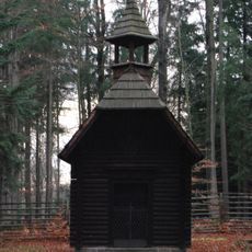
Chapel of Saint Hubertus
3.2 km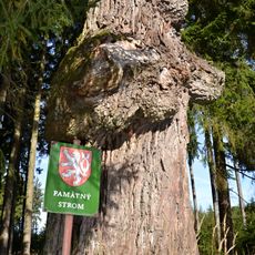
Dub u Květovské obory
2.4 km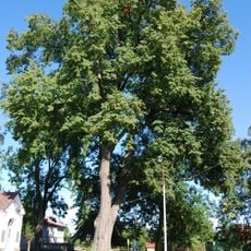
Branická lípa
1.8 km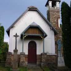
Chapel of the Nativity of the Virgin Mary
2.4 km
Tvrz
2.4 km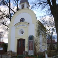
Chapel of Virgin Mary
3.2 km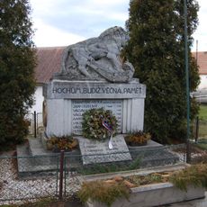
World War I memorial in Podolí
3.7 km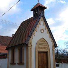
Chapel of Our Lady Queen
3.7 km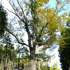
Květovský buk
2.8 km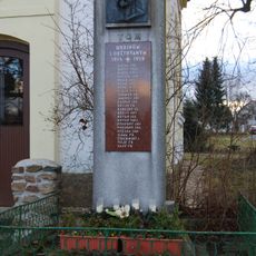
World War I memorial in Křenovice
3.2 km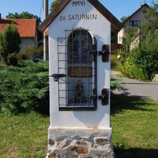
Chapel of Saint Saturnin
1.4 km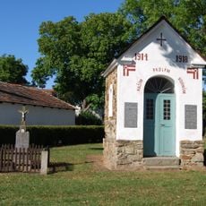
Kříž v Branicích u kaple
1.8 km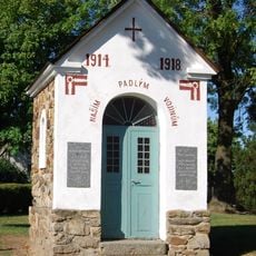
Chapel of Holy Cross
1.8 km
Chapel of Saint Florian
3.7 km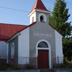
Chapel of Saint Wenceslaus
1.4 km
Kříž severozápadně od Branic
1.4 kmVous avez visité ce lieu ? Touchez les étoiles pour le noter et partager votre expérience ou vos photos avec la communauté ! Essayez maintenant ! Vous pouvez annuler à tout moment.
Trouvez des trésors cachés à chaque coin de rue !
Des petits cafés pittoresques aux points de vue planqués, fuyez la foule et dénichez les lieux qui vous ressemblent vraiment. Notre app vous facilite la vie : recherche vocale, filtres malins, itinéraires optimisés et bons plans partagés par des voyageurs du monde entier. Téléchargez vite pour vivre l'aventure en version mobile !

Une approche inédite de la découverte touristique❞
— Le Figaro
Tous les lieux qui valent la peine d'être explorés❞
— France Info
Une excursion sur mesure en quelques clics❞
— 20 Minutes