Litovel, commune tchèque
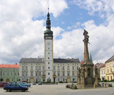
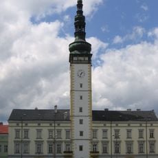
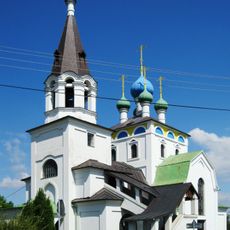
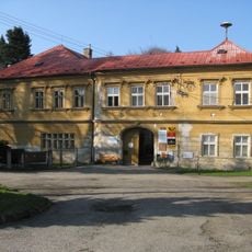
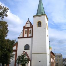
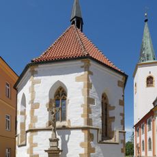
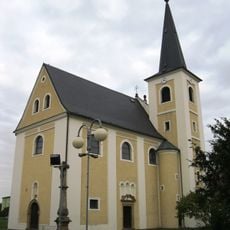
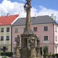
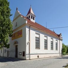
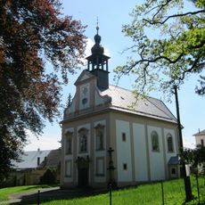
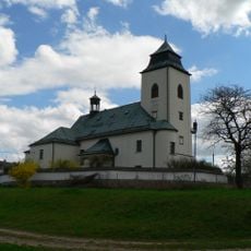
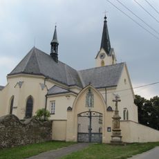
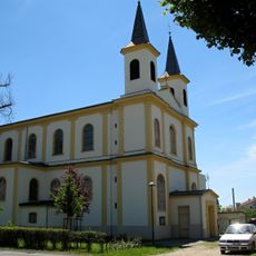
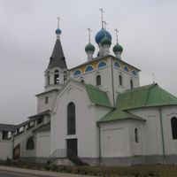
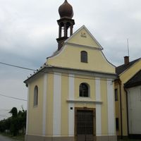
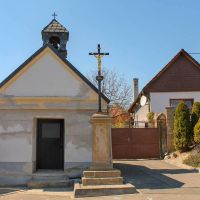
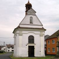
Litovel est une petite ville du district d'Olomouc, en République tchèque, traversée par six bras de la rivière Morava. Son centre réunit une place principale avec un haut clocher de l'hôtel de ville, des portions de remparts médiévaux, plusieurs églises et un pont en pierre du XVIe siècle.
La ville est mentionnée pour la première fois en 1287 et aurait été fondée par le roi Přemysl Otakar II au XIIIe siècle. Ses fortifications, ses églises et ses ponts ont été construits et reconstruits au fil des siècles, donnant au centre la forme qu'il conserve aujourd'hui.
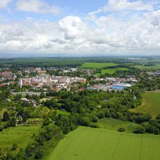
Litovel est parfois surnommée la Venise de Haná en raison des six bras de rivière qui traversent ses rues. En se promenant d'un pont à l'autre, on comprend vite comment l'eau a façonné la forme et le rythme du centre-ville.
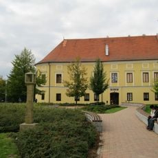
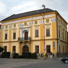
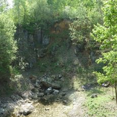
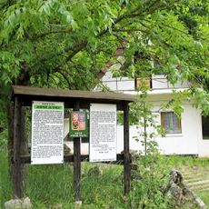
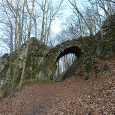
Le centre historique est compact et facile à parcourir à pied, la plupart des points d'intérêt étant proches de la place principale. Autour de la ville, des sentiers naturels balisés mènent à des étangs et des espaces verts en dehors du centre construit.
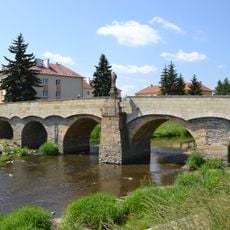
Le pont Svatojánský, construit en 1592, est considéré comme le plus ancien pont en pierre encore utilisé sur la rivière Morava. Ses piliers épais lui ont permis de résister aux crues qui ont détruit d'autres ouvrages, et il est toujours emprunté par les piétons en centre-ville.
La communauté des voyageurs curieux
AroundUs rassemble des milliers de lieux sélectionnés, conseils locaux et pépites cachées, enrichis chaque jour par plus de 60,000 contributeurs à travers le monde.