Bildeiche
Emplacement : Mannersdorf an der Rabnitz
Coordonnées GPS : 47.41970,16.55987
Dernière mise à jour : 16 novembre 2025 à 18:41
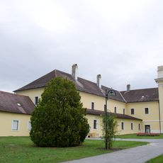
Kloster Marienberg, Burgenland
513 m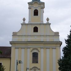
Pfarrkirche hl. Georg und Mariae Himmelfahrt, Klostermarienberg
512 m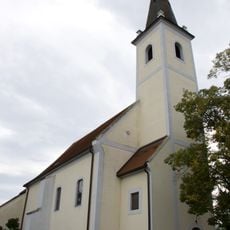
Pfarrkirche Hl. Dreifaltigkeit, Mannersdorf an der Rabnitz
2.8 km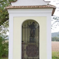
Rochuskapelle Unterloisdorf
2 km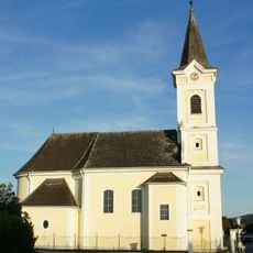
Kath. Filialkirche hl. Radegundis, Unterloisdorf
2.8 km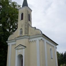
Kapelle hl. Rosalia, Mannersdorf an der Rabnitz
2.2 km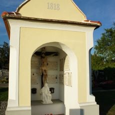
Friedhofskapelle
2.9 km
Pfarrhof Mannersdorf an der Rabnitz
2.7 km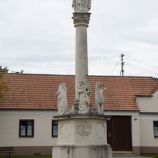
Gnadenstuhl, Klostermarienberg
336 m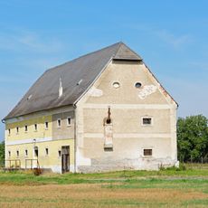
Schüttkasten Mannersdorf an der Rabnitz
2.6 km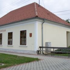
Dorfzentrum, Schule, Unterloisdorf
2.5 km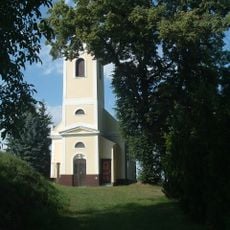
Saint Martin Church in Ólmod
2.5 km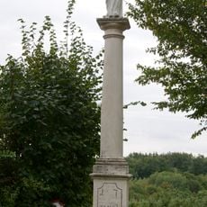
Antonisäule, Klostermarienberg
827 m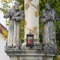
Gnadenstuhl, Mannersdorf an der Rabnitz
2.7 km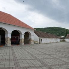
Marienhof, Klostermarienberg
413 m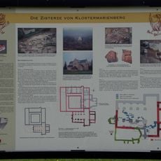
Ehem. romanische Klosteranlage
496 m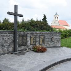
Kriegerdenkmal Klostermarienberg
388 m
Koronabunker
3.1 km
Mária-szobor
2.4 km
Immaculata
3.2 km
Szent Korona
3.1 km
Œuvre d’art, sculpture
470 m
Œuvre d’art
398 m
Croix de chemin
2.1 km
Pierre mémorielle, mémorial
475 m
Pierre mémorielle, mémorial
376 m
Bildeiche
924 m
Christianisme, bildstock
1.5 kmAvis
Vous avez visité ce lieu ? Touchez les étoiles pour le noter et partager votre expérience ou vos photos avec la communauté ! Essayez maintenant ! Vous pouvez annuler à tout moment.
Trouvez des trésors cachés à chaque coin de rue !
Des petits cafés pittoresques aux points de vue planqués, fuyez la foule et dénichez les lieux qui vous ressemblent vraiment. Notre app vous facilite la vie : recherche vocale, filtres malins, itinéraires optimisés et bons plans partagés par des voyageurs du monde entier. Téléchargez vite pour vivre l'aventure en version mobile !

Une approche inédite de la découverte touristique❞
— Le Figaro
Tous les lieux qui valent la peine d'être explorés❞
— France Info
Une excursion sur mesure en quelques clics❞
— 20 Minutes