Algimanto apygardos partizanų žuvimo vieta
Emplacement : Svėdasų seniūnija
Site web : https://nesedeknamuose.lt/nuo-slaptavietes-iki-slaptavietes-algimanto-apygardos-partizanu-kovu-takais/
Coordonnées GPS : 55.67668,25.27771
Dernière mise à jour : 4 novembre 2025 à 23:14
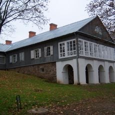
Adomynė Manor
8.2 km
Svėdasai manor
5.5 km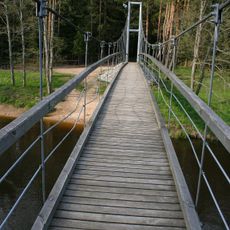
Mikieriai footbridge
6.5 km
Church of St. Michael the Archangel, Svėdasai
5.6 km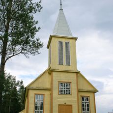
Church of Our Lady of the Gate of Dawn, Inkūnai
6.4 km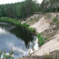
Šventoji Landscape Reserve
5.2 km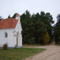
Bajorai chapel
4.5 km
Vaižgantas bridge
4.4 km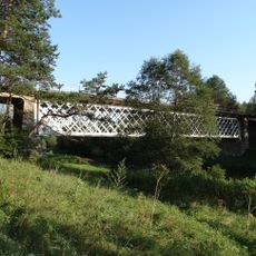
Mickūnų tiltas
4.4 km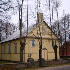
Church of the Holy Name of the Virgin Mary, Adomynė
8.2 km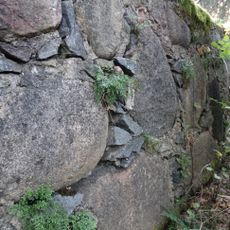
Wall-rue habitat
6.9 km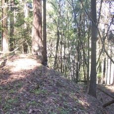
Aluotos hillfort
3.5 km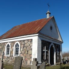
Cemetery chapel, Svėdasai
5.2 km
Moriconi family chapel, Svėdasai
5.5 km
Bugailiškiai hillfort
8.7 km
Leliūnų tvenkinys
6.4 km
Jotkonių tvenkinys
4.7 km
Jaros gyvenvietės
6.1 km
Sterkiškio tvenkinys
7.9 km
Adomynės tvenkinys
8.3 km
Aluotų tvenkinys
4.6 km
Vikonių tvenkinys
3.9 km
Laukinių gyvūnų aptvaras „Danielynas“
6.6 km
1863 m. sukilėlių stovyklavietė
7.5 km
Pažintinis takas „į Girią“
6.3 km
Pažintinis takas "Algimanto apygardos partizanų kovų takais"
3 km
Algimanto apygardos partizanų bunkeris
2.1 km
Mikierių atodanga
5.3 kmAvis
Vous avez visité ce lieu ? Touchez les étoiles pour le noter et partager votre expérience ou vos photos avec la communauté ! Essayez maintenant ! Vous pouvez annuler à tout moment.
Trouvez des trésors cachés à chaque coin de rue !
Des petits cafés pittoresques aux points de vue planqués, fuyez la foule et dénichez les lieux qui vous ressemblent vraiment. Notre app vous facilite la vie : recherche vocale, filtres malins, itinéraires optimisés et bons plans partagés par des voyageurs du monde entier. Téléchargez vite pour vivre l'aventure en version mobile !

Une approche inédite de la découverte touristique❞
— Le Figaro
Tous les lieux qui valent la peine d'être explorés❞
— France Info
Une excursion sur mesure en quelques clics❞
— 20 Minutes